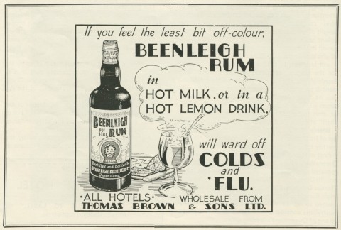
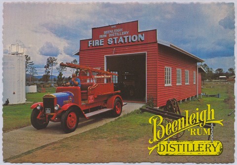
Beenleigh is a town on the Gold Coast railway line, 33 km south-east of central Brisbane. It is best known for the Beenleigh Rum Distillery founded on the local sugar industry in the mid-1880s.
European settlement in the Beenleigh district began with German Lutheran farmers at Bethania in 1864, on the Logan River, about 6 km north-west of Beenleigh. Within a few years there were also German-speaking farmers in the areas now known as Beenleigh and Waterford. A government survey mapped out a town in 1866 on the present site of Beenleigh. In the same year a Lutheran mission station for Aborigines, Bethesda, opened nearby.
SUGAR AND RUM
The districts were agriculturally diverse, but sugar emerged as the leading crop. Francis Gooding and John Davy planted their first cane in 1865 near the junction of the Logan and Albert Rivers, naming their plantation Beenleigh, which is thought to have been the name of Davy's home in Devon, England. The town survey of 1866 adopted the name. Bethania was flood prone but the chosen location proved comparatively high and dry, with the added advantage of being on the main road to Brisbane. Numerous German families, along with other settlers, were attracted to the area. A primary school and the two-storey planter's Rest Hotel were opened by 1871, and a court house and other government buildings were constructed the next year. The Beenleigh Show Society held its first show in 1872 and in 1876 the Church of England built St George's church, a skilfully designed single-skin timber building, which is listed on the Queensland heritage register.
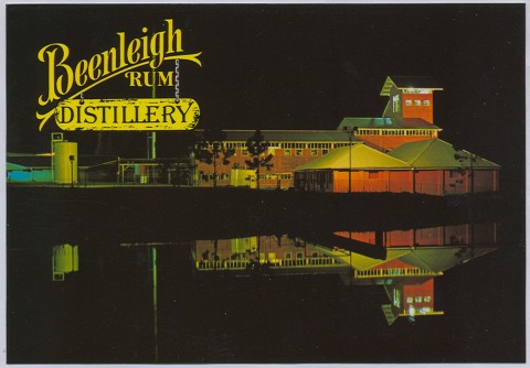
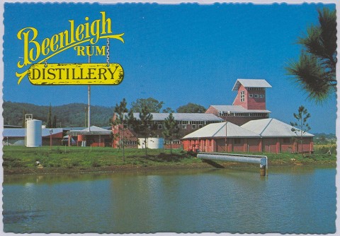
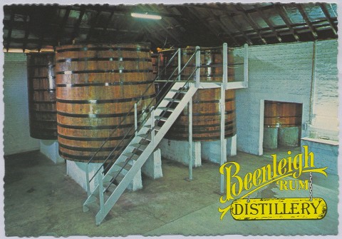
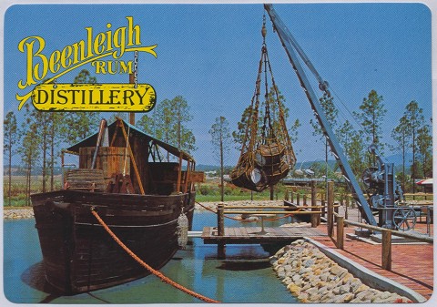
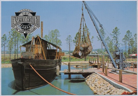
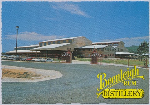
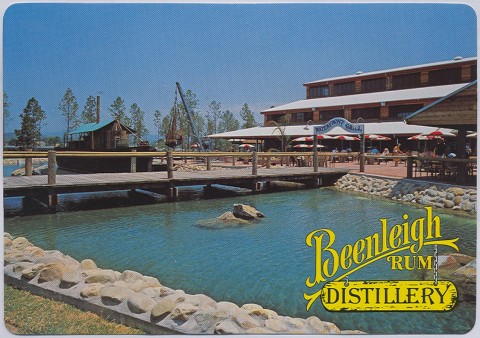
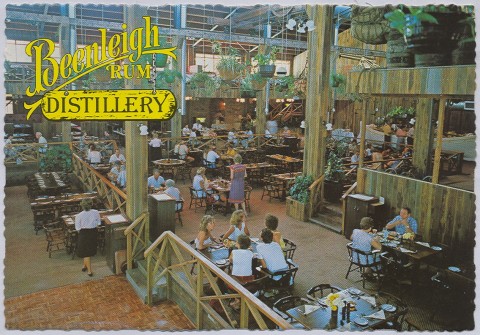
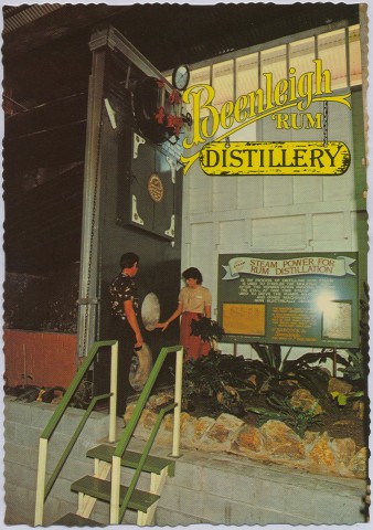
By 1885 there were three rum distilleries. Francis Gooding's distillery, established beside his sugar mill in 1884, is the forerunner of the Beenleigh Rum Distillery in Distillery Road, Eagleby. Beenleigh was also the administrative centre of the Beenleigh local government division (1879), which became a shire until its amalgamation with others to form Albert Shire in 1949.
Beenleigh became the centre of the Lutheran community when the Bethesda pastor purchased the Good Templars hall in 1884, and the Beenleigh Lutherans also built a new church. In 1921, the census recorded 54% of Beenleigh's residents as belonging to the Lutheran faith. The town's population steadily increased, nearing 700 when it was described in the Australian handbook in 1903:

Beenleigh was on the South Coast railway (1885), which carried milk and cream to factories at Kingston, Waterford and Woolloongabba. Field crops and orchards included maize, potatoes, arrowroot, bananas and, of course, sugar. The small farm holdings, decline of the southern sugar industry and improved farm technology reduced the need for farm labour after World War I, and Beenleigh virtually stood still during the interwar years. By the late 1940s, shire authorities considered arrowroot to be the area's most important crop. Around this time there was an upturn.
Beenleigh Shire was described in the 1946 Australian Blue Book:

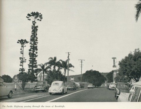
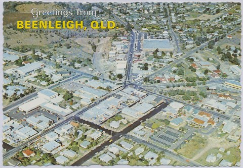
Urbanisation of the coast south of Southport brought about the creation of South Coast Council (Coolangatta to Southport) in 1949 and the amalgamation of the remaining hinterland parts of the numerous shires into Albert Shire. From about 1200 people in 1950, Beenleigh recorded 2458 in 1971. Ten years later there were 7839 people. Schools included the original State primary, a Catholic primary (1953), a State high (1963) and Trinity Catholic College (1982). The Catholic primary school (St Joseph's) was severely damaged by fire in 2006. Amid the growth, the only set back was the closure of the South Coast railway in 1964 so the line now terminated at Beenleigh, but the Pacific Motorway (1985), bypassing Beenleigh to the east, seemed to compensate for what had been regarded at the time as an outdated country railway line.
SUBURBAN GROWTH
New suburbs were formed around Beenleigh in the 1970s, Eagleby to the east and Mount Warren Park-Windaroo to the south. Beenleigh's function as a district centre intensified, and its shopping area outgrew the old five-ways town centre; Beenleigh marketplace (discount department store, supermarket, 61 shops) opened in 1999. In 1998 the southern railway returned with the opening of the Gold Coast line from Beenleigh to Robina. A 35 km bikeway connecting Beenleigh with the Gold Coast was opened in 2004.
Beenleigh's northern boundary is the Logan River, where the Gold Coast Council meets Logan City. While Beenleigh's rural heritage was out of step with Logan's urban thrust, it was historically part of the Logan landscape. In 2008 Beenleigh was transferred from Gold Coast City to Logan City, unifying the area north of the Albert River, which was 'essentially residential'. The Beenleigh historical village, with 20 or more buildings transferred there from around the district, retains something of pre-urban days.
| Census Date | Population |
|---|---|
| 1871 | 73 |
| 1881 | 303 |
| 1901 | 664 |
| 1947 | 975 |
| 1966 | 2026 |
| 1976 | 4216 |
| 1981 | 7839 |
| 2001 | 7664 |
| 2006 | 7816 |
| 2011 | 8244 |
Michael Jones, Country of five rivers: Albert Shire 1788-1988, Sydney, Allen & Unwin, 1988
F.O. Theile, One hundred years of the Lutheran Church in Queensland, United Evangelical Lutheran Church in Australia, 1938