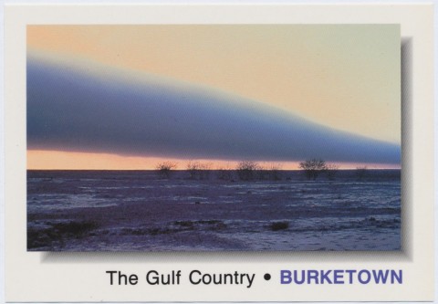
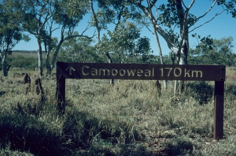
Burke Shire, an area of 40,126 sq km, is on the coast of the Gulf of Carpentaria. Its western boundary is the Northern Territory border, its eastern border is the Leichhardt River, and its southern boundary is an uneven line in the vicinity of Riversleigh. In addition to the Leichhardt River, the shire is drained by the Albert and Gregory Rivers which join as one waterway and pass through Burketown, 30 km inland from the Gulf. Burke Shire entirely surrounds the Doomadgee Aboriginal community which functions as a community council (see separate entry).
The coastline was touched on by Dutch seafarers in the seventeenth century and in more cartographic detail by Matthew Flinders in 1802. Captain John Lort Stokes in the Beagle retraced Flinders' route in 1841 and travelled upstream along the Albert River. He saw the country in a good season and described it as the Plains of Promise. The Burke and Wills exploration (1860-61) failed to report anything of importance, but its disappearance provoked relief parties: Frederick Walker (Queensland), William Landsborough (Queensland) and John McKinley (South Australia). Skilled in bush craft, both Landsborough and McKinley reported favourably on the country's grazing potential. By 1865 several pastoral stations were established on the gulf and a supply place was formed on the Albert River. Named Carpentaria, it was renamed Burketown in honour of the dead explorer, Robert O'Hara Burke.
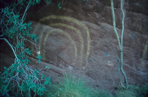
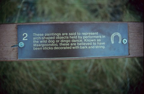
Burketown was officially occupied in 1866 by Landsborough who, seeing a large amount of sickness among the Indigenous inhabitants, evacuated the survivors to Sweers Island in the South Wellesley Group. Re-occupation occurred in 1867 and town lots were put up for sale.
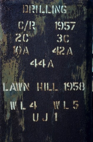
The hinterland was equally hazardous, Aboriginal resistance was considerable, and by the 1870s most pastoral stations west of the Leichhardt River were abandoned. In 1878 a droving track was blazed around the top of the Gulf Country from Roper River, Northern Territory to Burketown. Pastoralism revived, the Burke local government division proclaimed in 1885 and Burketown's population grew to over 100. The town had a primary school (1888), a court house, a customs house and a municipal hall that could hold 300 people. The Carpentaria Meat Export Company had a throughput of 90 cattle a day and steamers carried mail and cargo via Normanton to Brisbane. The Queensland Silver Lead Mines Company operated at Lawn Hill in the south-west of the shire.
Railways for Burketown were hinted at but did not materialise. The grandest proposal (1882) for a line stretching from Roma to Burketown failed when the McIlwaith government was defeated. A local line from Lawn Hill mine (1900) barely got beyond the approval stage. In 1917 a line was run from Cloncurry to the Mt Cuthbert copper smelter, and a minor extension to Dobbyn sufficed as Burke Shire's railhead, 230 km from Burketown.
Burketown was described in the 1903 Australian handbook:

In 1931 Len and Dorothy Akehurst, missionaries associated with the Christian Brethren Assembly, established an Aboriginal mission at Burketown. In 1933 the mission was transferred to Dumaji, north-west of Burketown, near Mornington Island. It was subsequently moved to Doomadgee, about 120 km to the south, and in 2001 had a population about half that of Burke Shire.
The shire was described in 1946 in the Australian Blue Book:

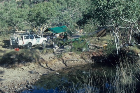
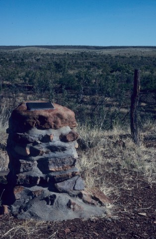
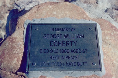
In the early postwar years the shire's population fell to 250 people, and Burketown's to 60. At just that time the author, Nevil Shute, based his A Town Like Alice (1950) on Burketown (depicting Burketown in commercially more favourable terms than it actually was.) The shire's future prosperity did not come from Burketown but instead from enterprises such as Pasminco Century Zinc at Lawn Hill and Escott Cattle Station's tourist fishing business. Further west along the unsealed Doomadgee road is the Hells Gate roadhouse for tourists and travellers. The name is a reminder of the pass through the Constance Range where travellers in the 1870s faced Aboriginal attack. Massacre Inlet, north of Hells Gate, marks the place where European settlers from the Westmoreland homestead slaughtered nearly all the Ngyanga Aborigines in 1884 in reprisal for an attack.
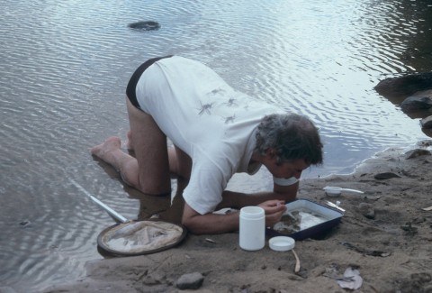
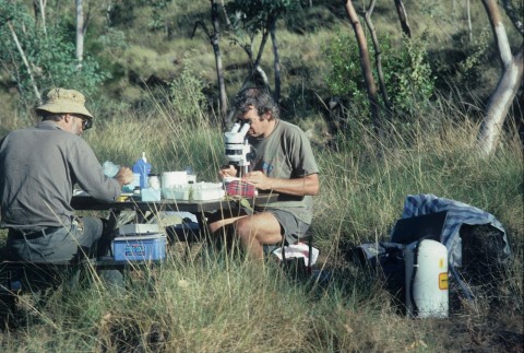
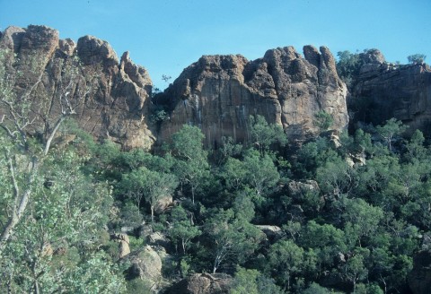
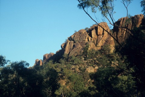
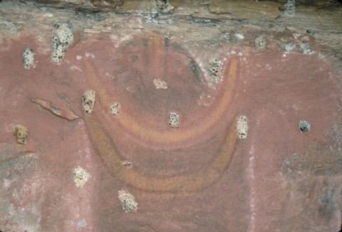
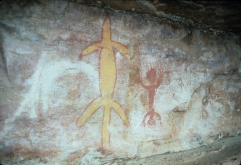
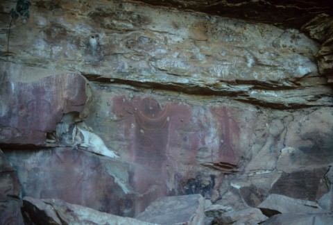
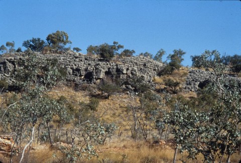
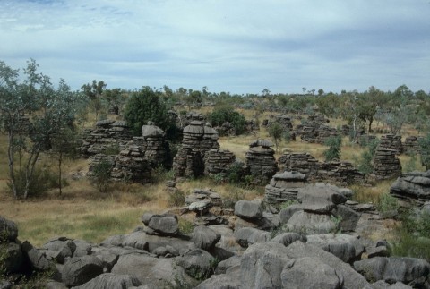
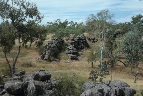
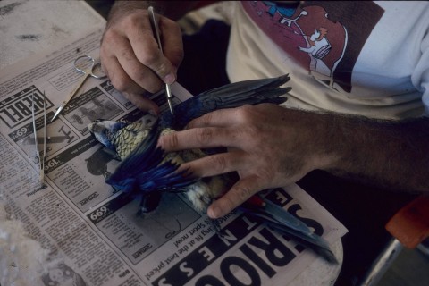
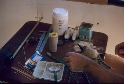
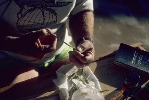
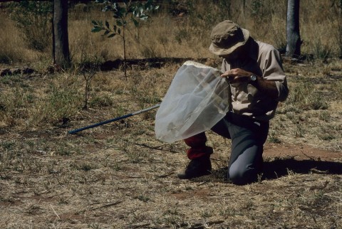
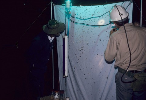
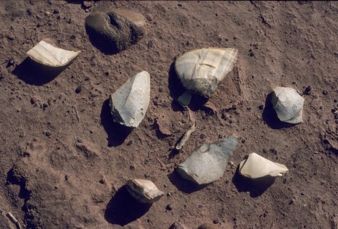
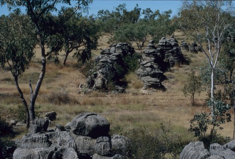
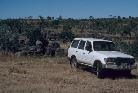
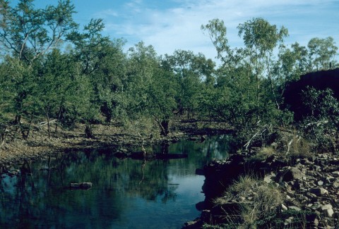
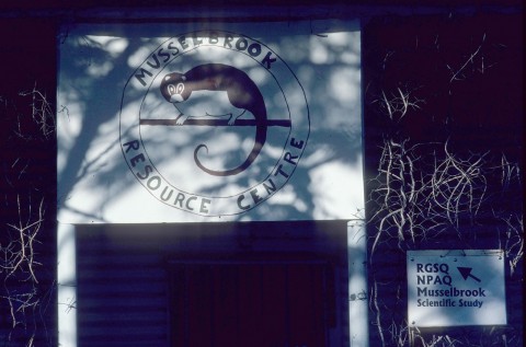
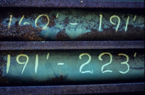
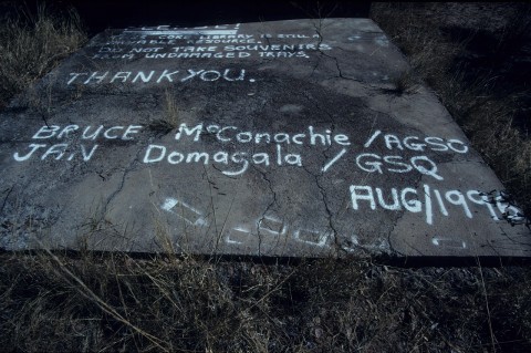
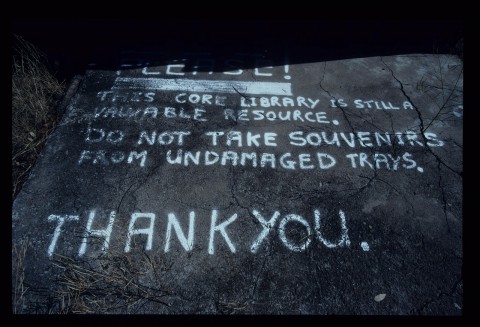
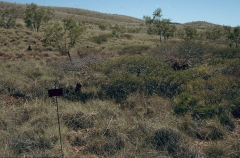
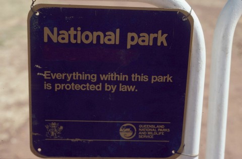
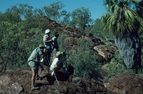
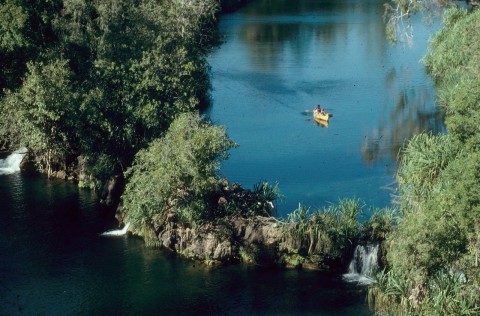
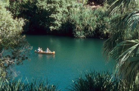
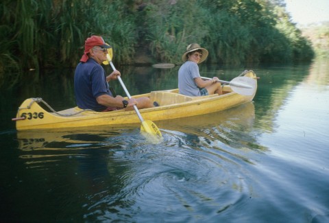
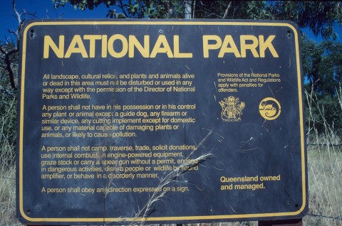
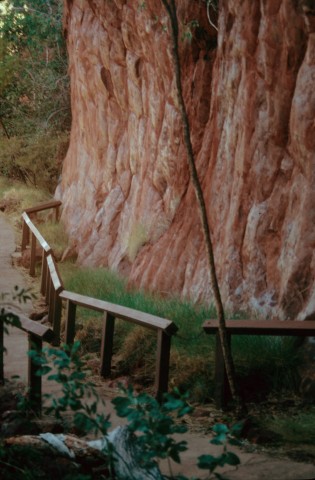
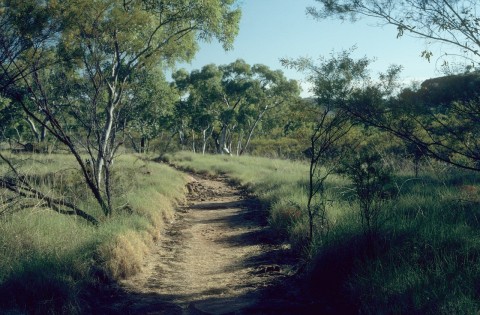
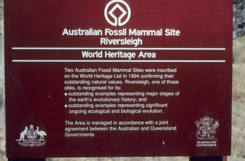
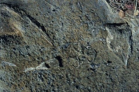
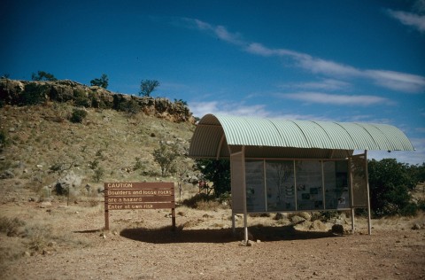
Some observers would say that Burke Shire's greatest riches are found at the Lawn Hill (Boodjamulla) National Park. Bounded on the east by the Constance Range, the national park contains a majestic gorge, numerous species of rare birds and considerable evidence of Aboriginal occupation. It also has a large unexploited iron ore deposit. Adjoining Lawn Hill, just outside Burke Shire, is Riversleigh. An extremely rich fossil site, it is on the World Heritage register.
In everyday commercial terms, mining is the shire's leading private sector employer at the 2011 census with 21.6% of the workforce, closely followed by sheep, beef cattle and grain farming at 21.2%, with a decline in the importance of local government administration down to 12.7%.
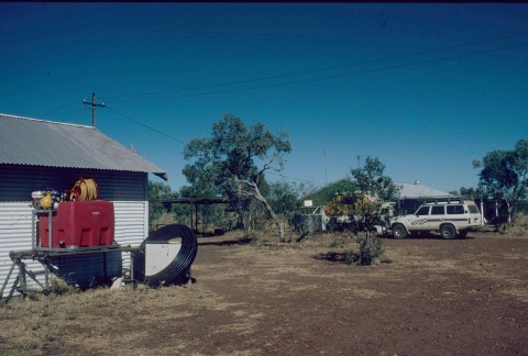
There are hospitals and primary schools at Burketown and Doomadgee. Burketown also has a general store, a caravan park and a hotel in the former customs house, the Gulf Country's oldest surviving building. The former post office (1889) is listed on the Queensland heritage register and is used as an information centre.
Burke Shire's census populations have been:
| Census Date | Population |
|---|---|
| 1911 | 788 |
| 1921 | 376 |
| 1954 | 248 |
| 1971 | 894 |
| 1986 | 1433 |
| 2001 | 2129 |
| 2006 | 498 |
| 2011 | 514 |
Burketown's census populations have been:
| census date | population |
|---|---|
| 1901 | 310 |
| 1947 | 59 |
| 2001 | 221 |
| 2011 | 201 |
Michael Archer, Suzanne J. Hand and Henk Godthelp, Australia's lost world: Riversleigh, world heritage site, Sydney, Reed New Holland, 1991
Tourist information published by Burke Shire Council, nd