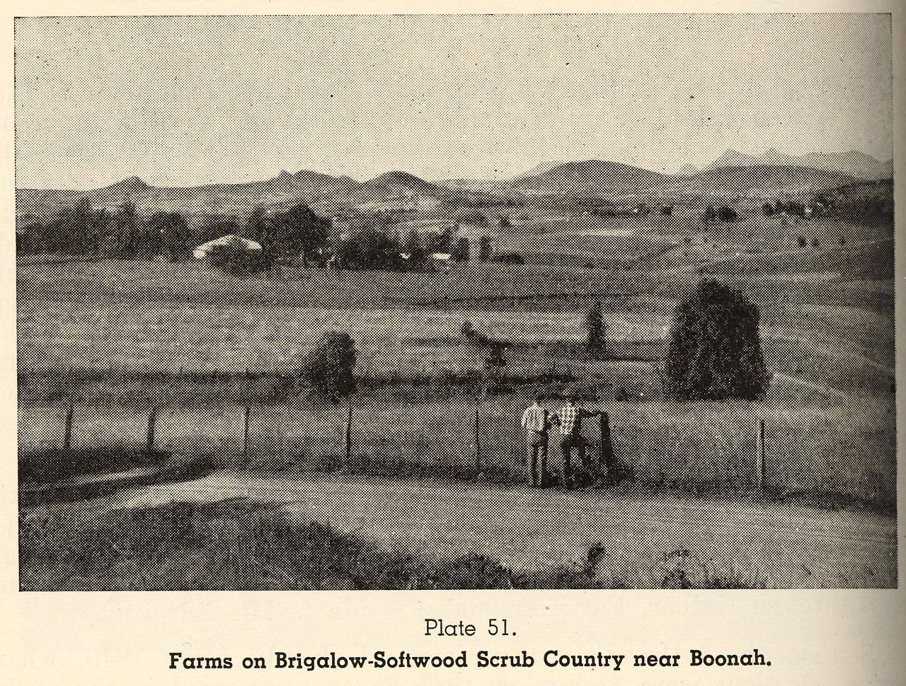
Farms on Brigalow-Softwood scrub country near Boonah
Genre:
Headwords:
Year Created:
Contributor:
Publication Title:
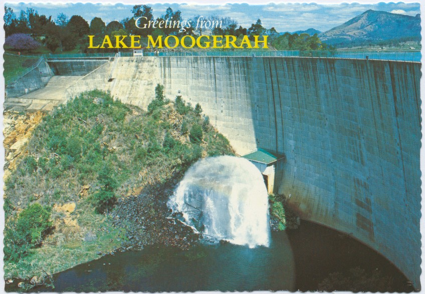
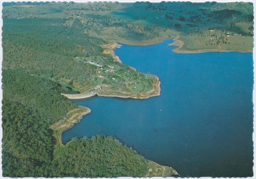
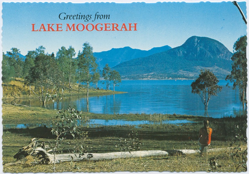
Boonah Shire
Boonah Shire, south-west of Brisbane, was immediately south of Ipswich City and extended to the State border at the McPherson Range. Its western border was the scenic rim of mountain ranges which are crossed at Cunningham's Gap just west of Aratula. The shire's area was 1922 sq km. In 2008 it was amalgamated with most of Beaudesert Shire and part of Ipswich City to form Scenic Rim Regional Council.
Further Reading:
Murray Johnson and Kay Saunders, Working the land, Runcorn, Queensland State Archives, 2007
C.K. Pfeffer, The Fassifern story: history of Boonah Shire and surroundings to 1989, Boonah, Boonah Shire Council, 1991
Serving the shire: a history of local government in Boonah Shire from 1879, Boonah, Boonah Shire Council, 1980
Boonah Shire Council cultural heritage study, Toowoomba, Conservation Management Planners & Associates, 2002
Boonah, Dugandan, Kalbar, Roadvale and Rosevale entries
Headwords:
Copyright © Centre for the Government of Queensland, 2018. All rights reserved.
