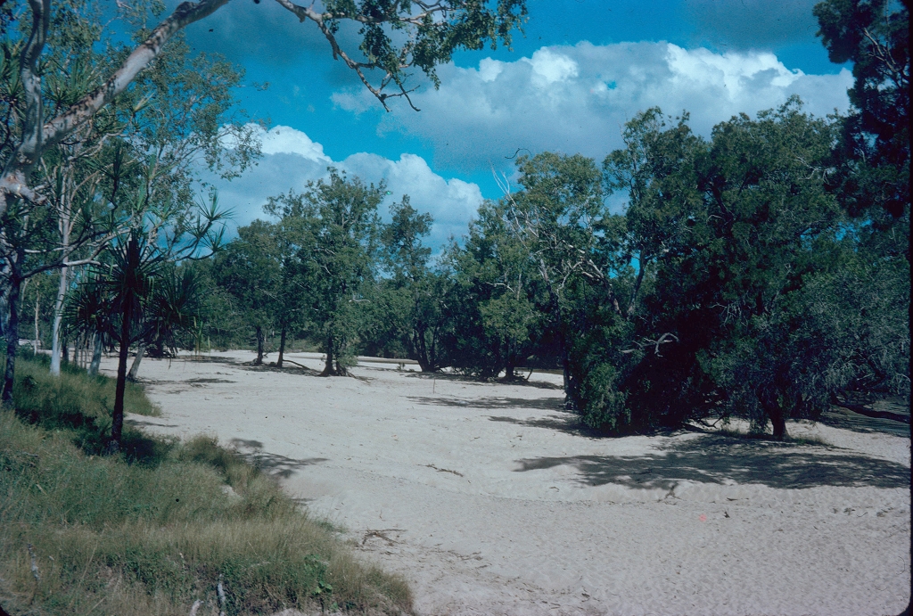
Bowen Basin
The Bowen Basin, an area rich in coal and gas deposits, extends southwards from Collinsville (near Bowen) to Emerald and Moura (west of Bundaberg). Its area is put at 60,000 to 75,000 sq km, over a length of about 650 km. The basin is shaped like an inverted Y: the single stem of the Y runs from Collinsville to Dysart, a land corridor seldom wider than 50 km, where the majority of mines are worked. The two subsidiary stems run south-west to Emerald and beyond, and south to Moura and Theodore.
Further Reading:
Banana Shire, Belyando Shire, Bowen Shire, Broadsound Shire, Duaringa Shire, Nebo Shire and Peak Downs Shire entries
Headwords:
Copyright © Centre for the Government of Queensland, 2018. All rights reserved.

