Mr Hellen driving his own motor-plough, Boyne Valley
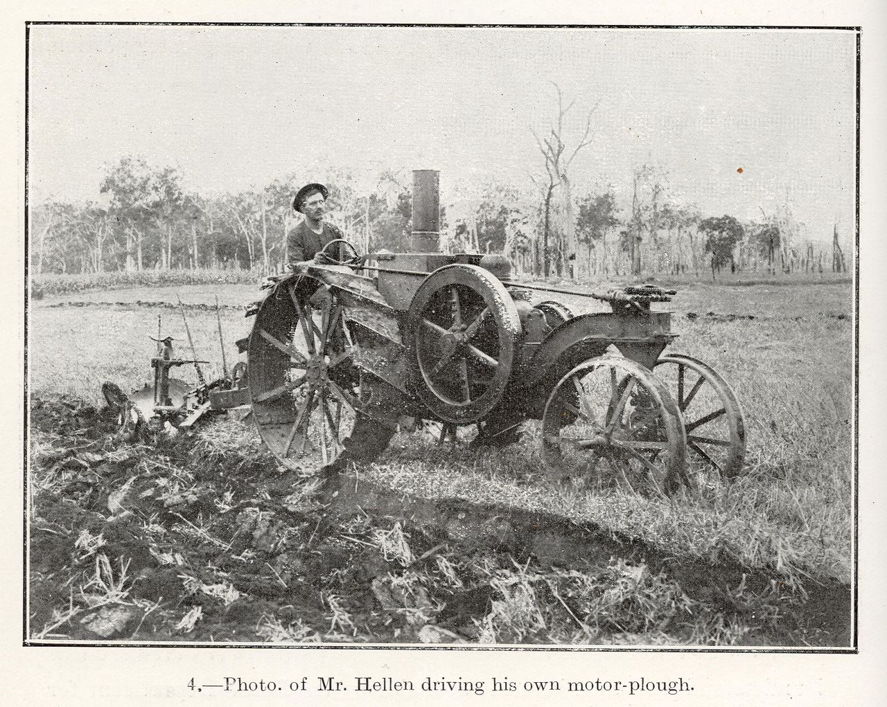
Genre:
Headwords:
Year Created:
Contributor:
Publication Title:
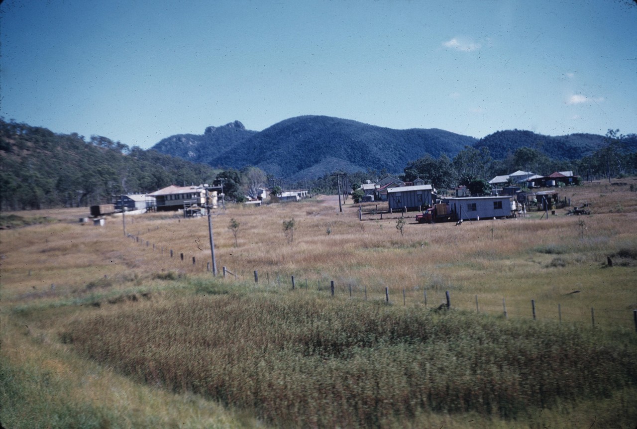
Mt Larcom from Auckland Park, Gladstone
Genre:
Headwords:
Year Created:
Contributor:
Publisher:
Calliope Shire
Calliope Shire, an area of 5875 sq km, bounded the City of Gladstone on all sides except the coast. It included Heron Island. In 2008 the shire was amalgamated with Miriam Vale Shire and Gladstone City to form Gladstone Regional Council. The shire was named after the Calliope River, which was named by Governor FitzRoy in 1854, when he inspected the Port Curtis (Gladstone) area; a year after that town had been surveyed. FitzRoy travelled in the vessel Calliope.
Further Reading:
Calliope Shire Council centenary 1879-1979, Calliope, Calliope Shire Council, 1979
Betty Laver, Pioneers of the Calliope Shire, Gladstone, Betty Laver, 2004
Boyne Island, Calliope, Gladstone Localities, Many Peaks, Mount Larcom and Tannum Sands entries
Headwords:
Copyright © Centre for the Government of Queensland, 2018. All rights reserved.
