
Nanango Shire
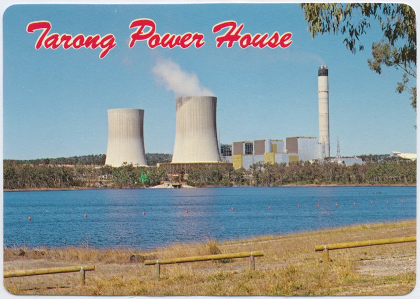
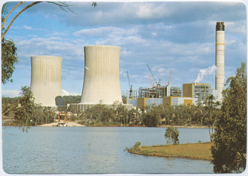
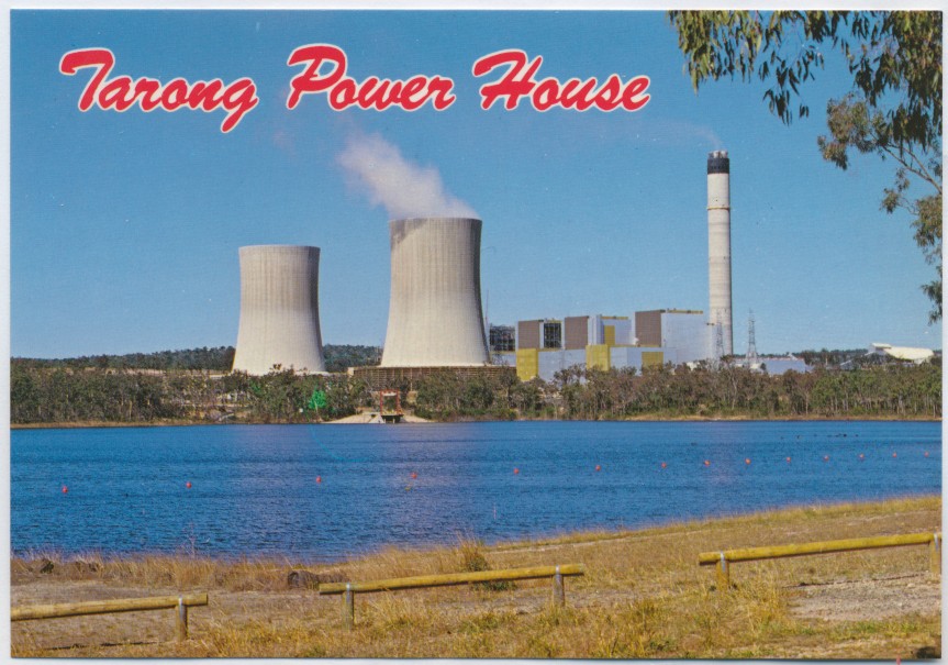
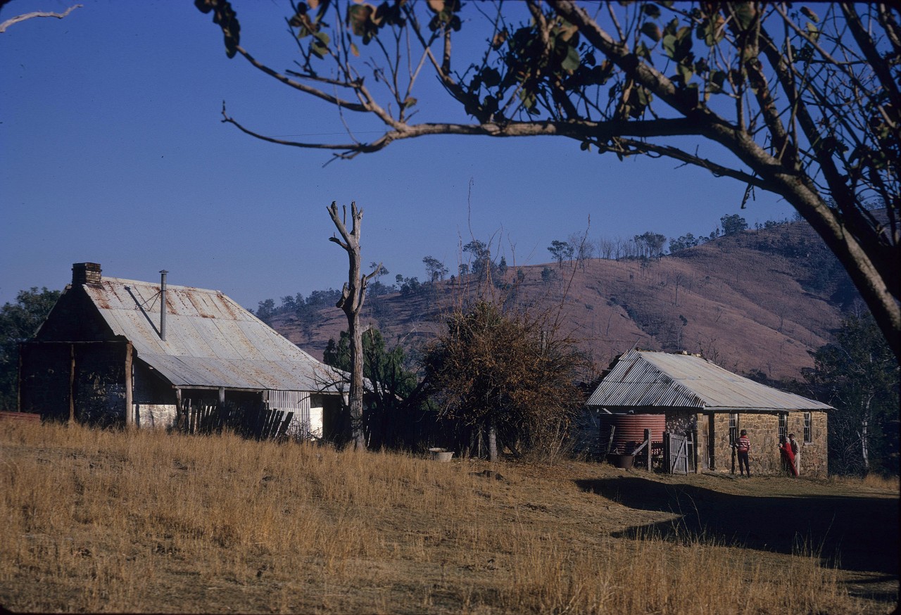
Nanango Shire, with an area of 1735 sq km, was amalgamated with Kingaroy, Murgon and Wondai Shires in 2008 to form South Burnett Regional Council. It was situated in the hilly country of the Blackbutt Range. Its main town and administrative centre, Nanango (see separate entry) is 150 km north-west of central Brisbane.
Further Reading:
Judith Grimes, Pioneering into the future: a history of Nanango Shire, Maryborough, Wise Owl Research Publishers, 1998
A. Hodge, Nanango Shire handbook, Brisbane, Queensland Department of Primary Industries, 1970
J.E. Murphy & E.W. Easton, Wilderness to wealth: being a history of the shires of Nanango, Kingaroy, Wondai, Murgon, Kilkivan and the upper Yarraman portion of the Rosalie Shire: 1850-1950, Brisbane, Smith and Paterson, 1950
Tony Matthews, Landscapes of change: a history of the South Burnett, Wondai, South Burnett Local Government Association, 1997
Blackbutt and Nanango entries
Headwords:
Copyright © Centre for the Government of Queensland, 2018. All rights reserved.
