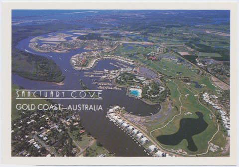
Hope Island, a once flood-prone site partly encircled by the Coomera River, is 55 km south-east of Brisbane. It was probably named after Louis Hope, a pioneer sugar-grower, parliamentarian (1862-82) and one-time owner of the island. Treated as marginal farming land, Hope Island became a major land-development location when large-volume dredging removed the risk of flooding. The first development initiative was through the Sanctuary Cove Resort Act 1985, promoted by the late Mike Gore. Since then the Santa Barbara and Boykambil estates have been added to Hope Island.
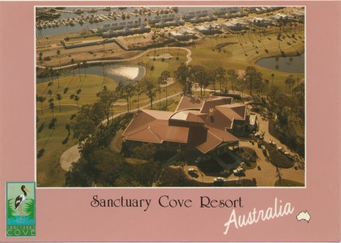
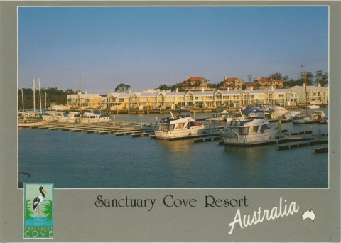
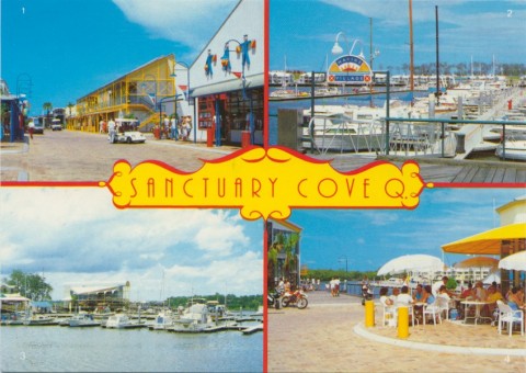
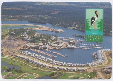
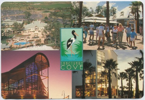
Sanctuary Cove's noteworthy feature was that it is designed for the affluent, with gated roads to protect them from crime and proletarian unpleasantness. This was reflected in Hope Island's median weekly income being more that $100 above the average of $362 (2001) for Gold Coast residents. There are a Hyatt hotel, a golf course and extensive marina facilities. The most ambitious canal development is from the Marina Shopping Village on the west of Hope Island, to Boykambil on the east. Stretching for four km, it was expected to yield 7.8 km of waterfront land. Hope Island and its environs is considered to comprise Gold Coast's 'North Shore' (ie Sanctuary Cove, Sovereign Islands and Ephraim Island).
Palm Island golf course adjoins Sanctuary Cove at the north of Hope Island. Later golf courses, The Pines and Hope Island, are further south.
The 2011 census revealed the following statistics for Hope Island:
| Median Age | Residents aged 55-64 | Median income/week | |
|---|---|---|---|
| Hope Island | 45 | 16.7% | $721 |
| Australia | 37 | 11.6% | $577 |
There were 4013 dwellings on Hope Island; occupied detached houses numbered 1982, and occupied apartments, semi-detached and similar dwellings numbered 1170.
Hope Island's census populations have been:
| Census Date | Population |
|---|---|
| 1933 | 37 |
| 2001 | 3664 |
| 2006 | 5396 |
| 2011 | 8483 |