Isaac Regional Council, south-west of Mackay, was formed in 2008 by the amalgamation of Belyando, Broadsound and Nebo Shires. It was named after the Isaac River which rises near Moranbah in the former Belyando Shire and runs generally south-east to join the Fitzroy River system. The river was named by the explorer, Ludwig Leichhardt, on 13 February 1845 after Frederick Isaac, proprietor of the Gowrie pastoral run on the Darling Downs.
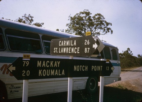
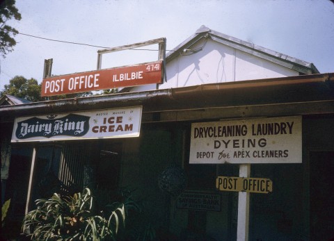
Isaac Regional Council area extends inland from the coast nearly to the ephemeral Lakes Buchanan and Galilee, a distance of about 350 km. Its southern limit nearly touches Blackwater and its northern limit is beyond Glenden. Its administrative centre, Moranbah, was Belyando Shire's headquarters, and is about in the middle of the new council area. Municipal offices are maintained in six other towns: Clermont (Belyando), Dysart (Broadsound), Glenden (Nebo), Middlemount, Nebo and St Lawrence (Broadsound). Council meetings are rotated through these towns, and are also held at Coppabella and Flaggy Rock.
The former Broadsound Shire (18,546 sq km) is the eastern part of the Isaac Regional Council area, and the former Nebo Shire (10,035 sq km) is the north/central part. Inland, and comprising over half the area of the council, is the former Belyando Shire (30,281 sq km). All the former shires had spectacular population growth during the 1960s and 1970s as the vast coal deposits were exploited. The Blair Athol coal deposit had been mined since the 1920s, but mines in Dysart, Middlemount and Moranbah region dwarfed the Blair Athol operation. A railway network was built to carry coal to the Hay Point terminal near Mackay. The line from Hay Point to Goonyella was opened in 1971, and branches were added, south to Blair Athol (1983) and the Gregory mines (1972-82). The Gregory mine was also rail-linked to the Central line to Rockhampton in 1980. Dysart, Glenden, Middlemount and Moranbah grew to become the dormitory towns for the coal industry workforces.
The Jangga people and the Isaac, Whitsunday and Charters Towers regional councils signed an Indigenous Land Use Agreement for an area covering more than 11,000 sq km around Mount Coolon, west of Mackay in 2010. The Jangga people made an application for native title rights in 1998.
Isaac Regional Council census population has been:
| census date | population |
|---|---|
| 2011 | 22,588 |
Belyando, Broadsound and Nebo Shires entries