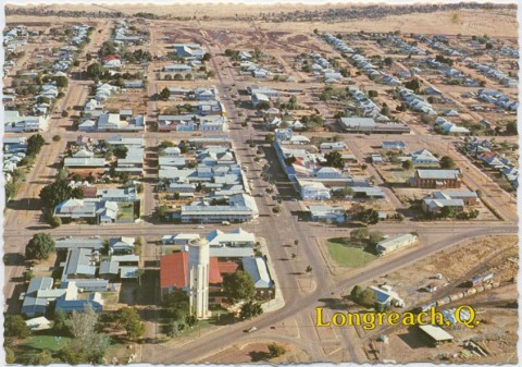
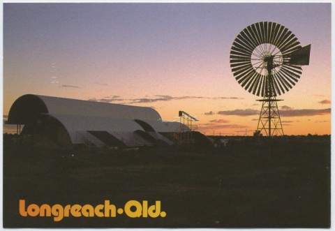
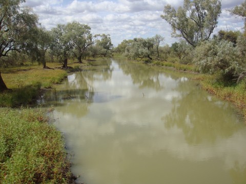
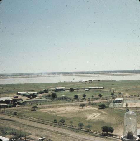
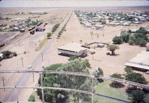
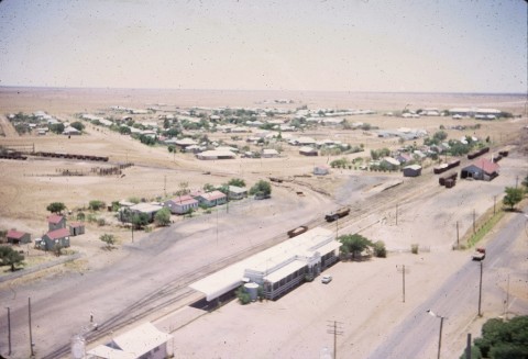
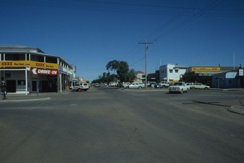
Longreach, a rural town, is 620 km west of Rockhampton, at the junction of the Capricorn and Landsborough Highways. The Aramac Creek flows southwards, joining the Thomson River which runs generally south-west through the Longreach district.
The Longreach district was explored by the New South Wales Surveyor-General, Thomas Mitchell (1846) and by Edmund Kennedy (1847). The pastoralist-explorer William Landsborough reported favourably on the district's pastoral prospects, and in 1863 the first pastoral lease was taken up by the vast Bowen Downs station. Several others followed soon afterwards. The district's centre was Aramac (c1869), and it was governed by the Aramac local-government division (1879).
'LONG REACH'
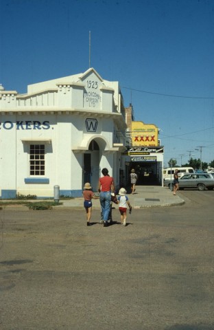
In 1885 township lots were sold at a site on the Thomson River, at first named Forrest Grove after the existing pastoral leasehold and later Arilahlah, which was not then even marked on a surveyor's plan. In 1886 the eastern railway from Rockhampton reached Barcaldine, and the colonial government decided to extend the line to the Thomson River. The surveyors examined Forrest Grove as a suitable terminus, but thought that a large waterhole on a long reach of the river was superior. Thus what had previously been nothing more than a teamsters' stopping place became Longreach, gazetted as a town in 1887.
RAILWAY BOOM
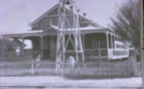
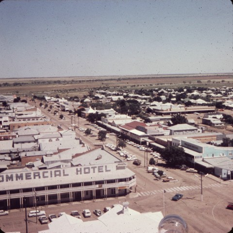
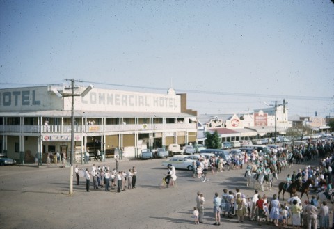
Considerable optimism surrounded the new settlement: town lots were auctioned and sold briskly, and by 1890 there were three hotels, several stores and tradespeople, a progress association and a police station. The opening of the railway line in 1892 spurred further development, and thrust Longreach into the industrial upheaval of the age; whereas the 1891 shearer's strike had been based at Barcaldine, the 1894 strike was called at the new railway terminus, Longreach.
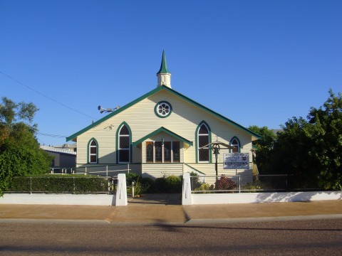
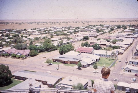
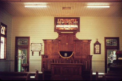
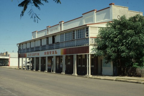
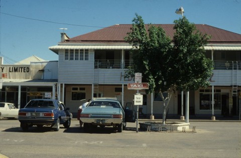
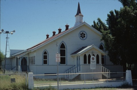
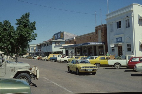
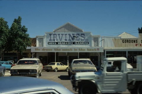
The town grew with astounding rapidity. By 1896 there were fourteen hotels, a hospital (1893), Catholic, Methodist and Anglican churches, a school of the arts, a pastoral and agricultural society and several clubs and friendly societies. From a population of about 150 in 1891, Longreach was approaching 2000 in 1903 when it was described as follows in the Australian handbook:

The progress association soon expressed criticism about the Aramac local-government division's neglect of the Longreach district. Aramac agreed, and the Longreach division was severed in 1900.
Apart from Longreach's role as a railhead and district centre, it also became the centre of an area subdivided for closer-settlement farms during the 1890s. Many blocks were too small, however, and the 1902 drought proved a substantial setback. Amalgamation of blocks and the successful drilling for bore water after the drought aided recovery.
INDUSTRIAL PROGRESS
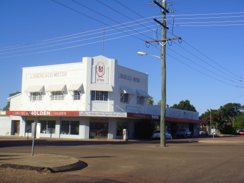
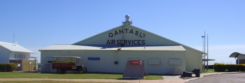
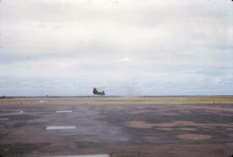
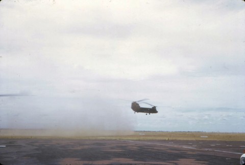
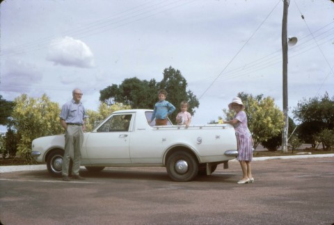
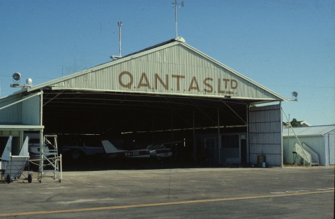
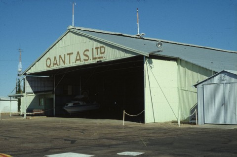
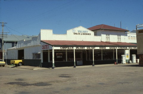
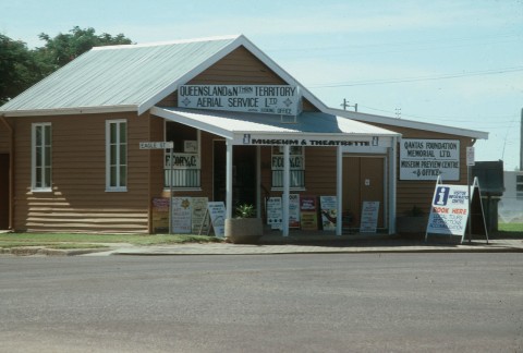
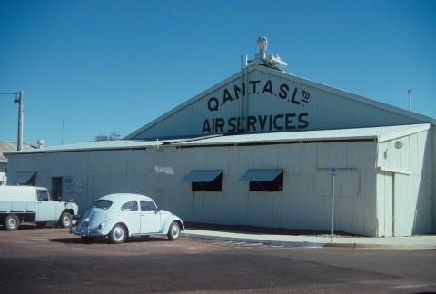
Longreach was usually quick to embrace new technology. Motor car hire and repair businesses were opened – the Longreach Motor Co (1910) and Edwards, Martin Ltd (1910) were major businesses in both repair and body-building for vehicles. In 1919 two young airmen, P.J. McGinness and Hudson Fysh visited Longreach while surveying the Darwin to Longreach section of a proposed England-Australia air route. The men later began Qantas outback airlines at Longreach and established a large plane assembly factory. With both a railway terminus and a pioneer air service, Longreach had some claim to being a 'Chicago of the West'. The railway advantage, however, subsided when the line was extended to Winton in 1927.
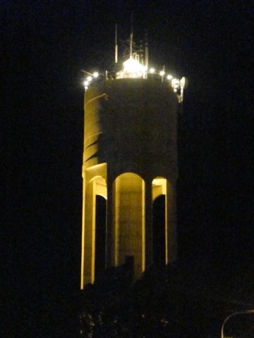
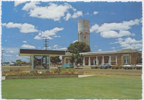
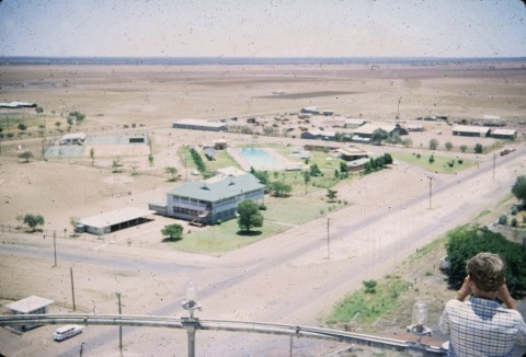
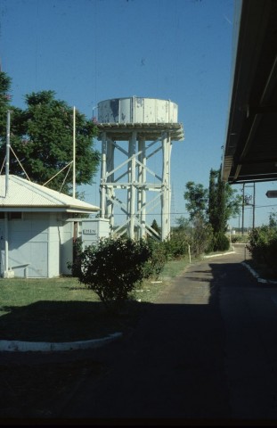
In 1921 an electricity powerhouse began operation and a rudimentary swimming pool opened. Reticulated water supply was laid on from the river in 1938, replacing the mineralised bore water and enabling trees to grace the city's parks. Despite the progress, Longreach remained a goat town for another two decades, with local herds essential as a reliable fresh milk supply. Fresh vegetables were also a problem, with grasshoppers damaging local crops and the railways sometimes failing to keep up supplies.
POSTWAR TRIBULATIONS
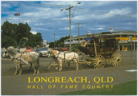
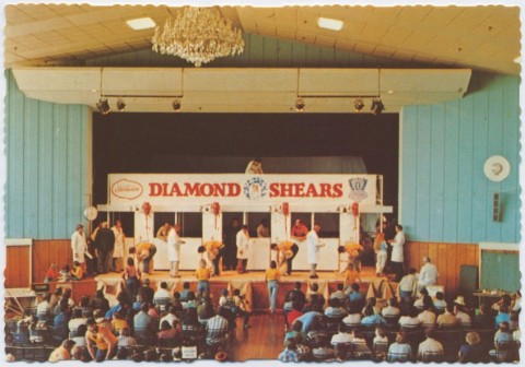
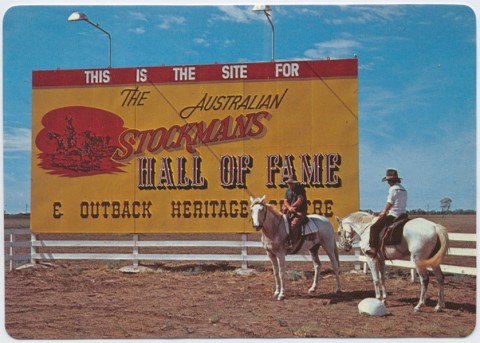
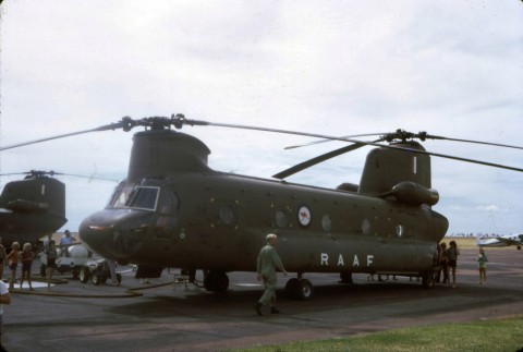
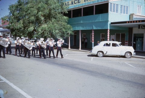
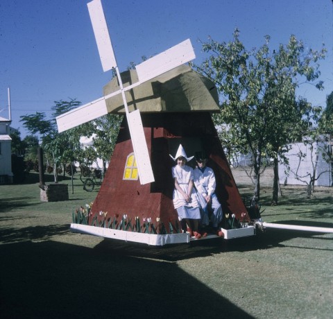
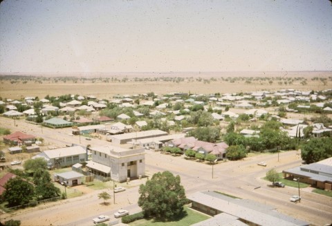
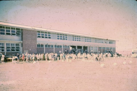
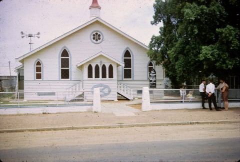
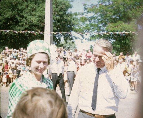
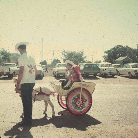
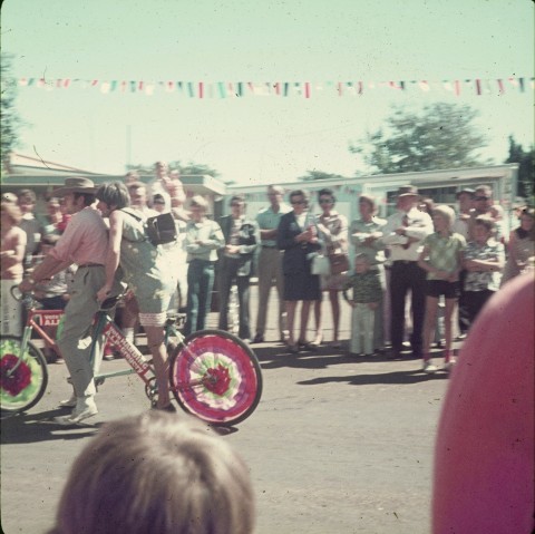
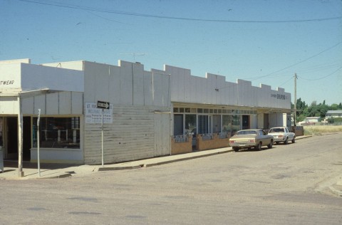
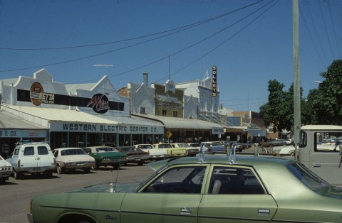
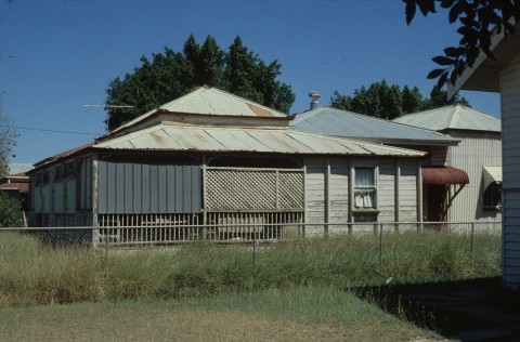
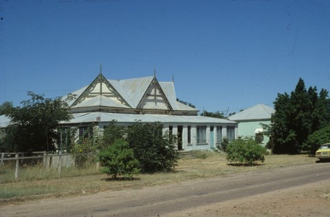
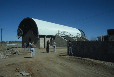
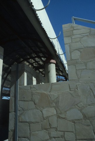
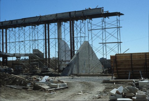
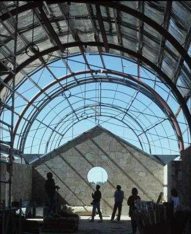
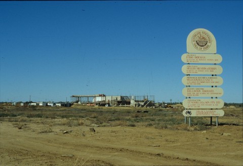
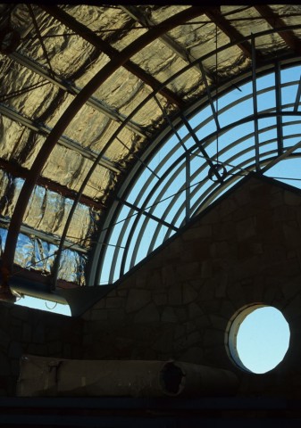
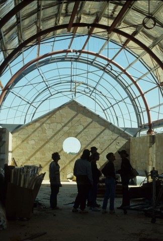
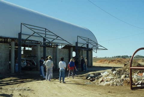
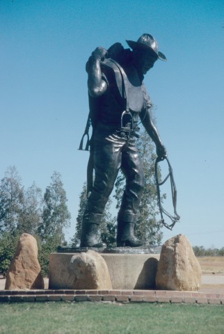
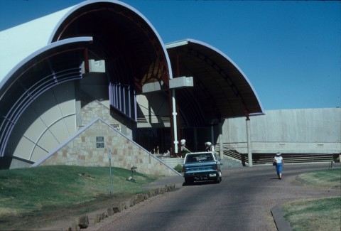
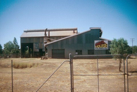
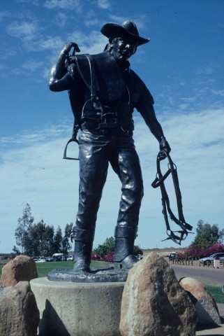
The 1920s were relatively prosperous, as were the 1950s (apart from some dry years and a shearers' strike). Much of the commercial building stock was replaced, including the shire hall (the previous two, along with local hotels and the Catholic church had burnt down). A State high school and an Olympic pool were opened in 1966 and 1967. Within a few years wool prices declined, and an investment in beef cattle was met with a decline in meat prices. The town's population, which had stayed steady during 1933-47 when other outback towns had fallen by a quarter, faltered badly during the 20 years from 1961-81 falling from 3800 to fewer than 3000. Fortunately improved roads and transport, which had solved the milk and vegetable supply problem, brought outback tourism. Sensing the tourist opportunity, Sir James Walker, Shire Chair (1957-90), chair of regional electricity supply authorities and of the Longreach Pastoral College garnered national support for the Stockman's Hall of Fame, which opened in 1988 on land provided by the Pastoral College. The Qantas Founders Museum, abutting the original heritage-listed Qantas hanger at the Longreach aerodrome, and a museum based in the old powerhouse (also heritage-listed) are other attractions, particularly popular with 'grey nomads'.
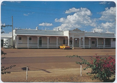
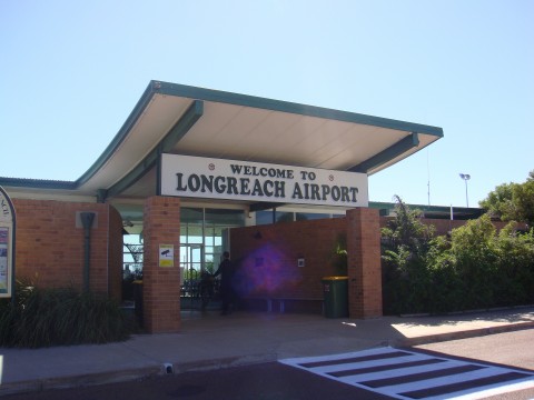
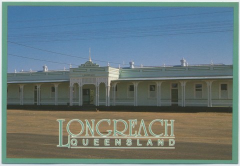
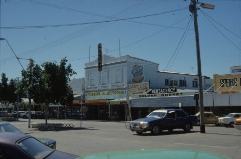
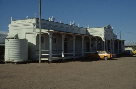
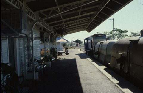
In addition to the attractions and facilities already mentioned, Longreach has a racecourse, showground, a Catholic primary school (1985), a school of distance education, a base hospital (1944), aerodrome, a visitor information centre, an Olympic swimming pool, five churches, several hotels and motels and aged persons' accommodation. The elaborate railway station (1916, similar to the Emerald station) and the goods shed (1892) are listed on the Queensland heritage register.
Longreach's census populations have been:
| Census Date | Population |
|---|---|
| 1891 | 157 |
| 1901 | 1690 |
| 1933 | 3274 |
| 1954 | 3350 |
| 1961 | 3806 |
| 1981 | 2971 |
| 2001 | 3673 |
| 2006 | 2976 |
| 2011 | 3356 |
Angela Moffat, The Longreach story: a history of Longreach and shire, Milton, Jacaranda Press for the Longreach Shire Council, 1987
James Walker, My rewarding life, Longreach, Santa Publishing, 1999