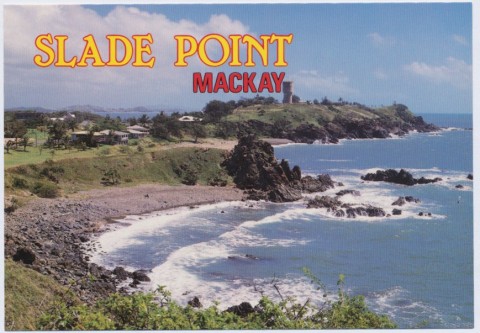
Slade Point, a residential area north of Mackay harbour, is nine km north of central Mackay.
Originally known as Point Slade, it was named by Lieutenant James Cook in 1770 after Sir Thomas Slade, Surveyor to the Navy during 1755-71. Slade designed the renowned HMS Victory.
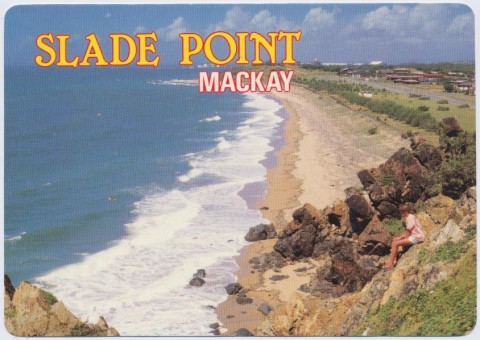
The ocean shoreline includes Harbour Beach and the popular Lamberts Beach, named after Sam Lambert, a storekeeper and importer who went on to establish one of Mackay's two department stores.
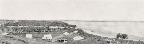
Slade Point is a postwar residential area, a decade or two after the opening of the outer harbour in 1939. It is separated from the harbour area by an extensive Melaleuca forest.
The western side of the Point has a beach overlooked by the Cathy Freeman (formerly Melaleuca) Park recreation area and an amateur athletics club. The park, with an oval, tiny grandstand and shady umbrella trees, was the venue for Cathy Freeman's childhood competition racing in the 1980s.
Slade Point has local shops, a primary school (1939), a community hall, a bowling club and a coastal wetland. Its census populations have been:
| Census Date | Population |
|---|---|
| 1933 | 20 |
| 1947 | 169 |
| 1954 | 441 |
| 1966 | 1152 |
| 2006 | 3848 |
| 2011 | 3859 |
Amhurst-Slade Point State School, Mackay, Slade-Point State School, 1989