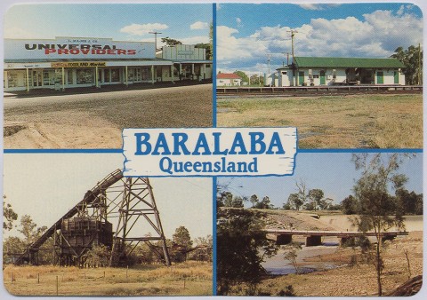
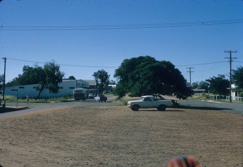
Baralaba, a rural town, is 150 km west of Gladstone. It is thought that the name was derived from an Aboriginal expression describing a high mountain. Baralaba is part of Banana Shire.
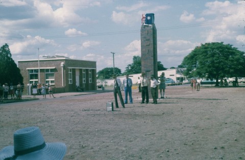
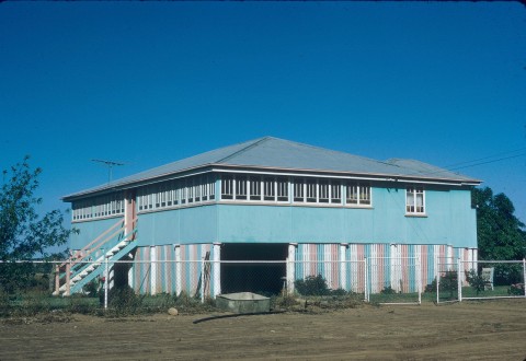
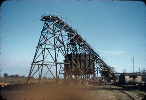
Situated less than a kilometre east of the Dawson River, Baralaba's development began with the Dawson River Anthracite Prospecting Company taking up coal prospecting areas in 1901. Serious mining began in about 1916 with a State coal mine, and the Mount Morgan Gold Mining Company opened a mine in 1921. The key to the mining development was the railway line from Rannes to Baralaba (1917), and the infant township's first civic initiative was to request the opening of a school. A provisional tent school was opened in 1918, with the first permanent school building (today's administration block) constructed a decade later.
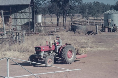
The Mount Morgan mine was transferred to the Dawson Valley Coal Co which together with the State coal mine brought certainty to the township. Anglican and Catholic churches opened in 1924 and a cottage hospital was built in 1926 – development which, somewhat unusually, predated the town's hotel, which opened two years later. In April of the same year, 1928, the town experienced major flooding, which caused the collapse and closure of the State coal mine. Farm settlement in the district was delayed by prickly pear infestation, but by the early 1930s eradication was under way. Blocks were taken up in the mid-1930s. Expired leaseholds were subdivided in the early postwar years, adding to the interest in the local agricultural and pastoral society formed in 1940.
Coal mining ended in 1969, and immediately afterwards the population declined. Fortunately farming had grown steadily, with the main crops including sorghum, wheat and cotton. The town secured a reticulated water supply when a weir on the Dawson River was completed in 1976. The town was not large, but it had two banks, two general stores, two bakers and three drapers.
Following the failure of the Baralaba hospital in a fire evacuation trial in 2009, plans were prioritised for a new multipurpose health service (2011) with patients transferred to other hospitals while it was under construction.
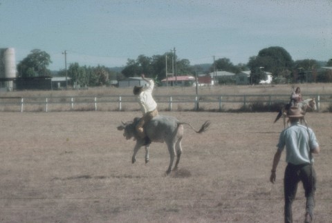
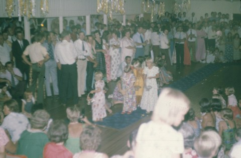
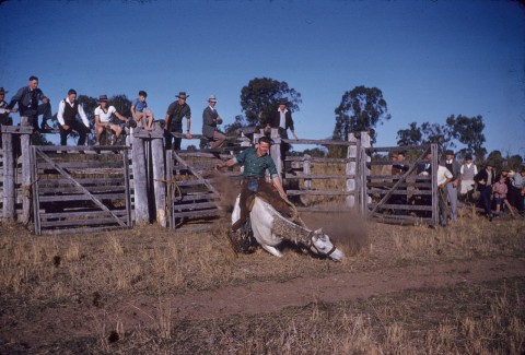
There are golf and bowls clubs, a showground, the State school (P-10), Anglican, Catholic and Uniting churches and a hotel. Mine ruins and an historical village can be viewed and the weir has good fishing.
On 28 December 2010 Baralaba was flooded and cut off when heavy rains caused the Dawson River to overflow. Mining of coal at Baralaba had restarted in 2005, and operations were not disrupted until February 2011 when water entered the main pit. By the time dewatering began, the water level of the Dawson River had fallen from a peak of 15.6 metres to 6 metres. The coal producer had ambitious plans to expand output during 2011-14, and planned to build a 1:1000 year flood levee. There was news of ‘30,000 pigs drowned’, but it was a misreport of ‘30 sows and pigs drowned’. A free-range piggery had been established in Baralaba in 2009.
Baralaba was suggested as one of the sites to locate a solar farm in 2015.
Baralaba's census populations have been:
| Census Date | Population |
|---|---|
| 1921 | 240 |
| 1954 | 433 |
| 1961 | 503 |
| 1981 | 367 |
| 2001 | 260 |
| 2006 | 290 |
| 2011 | 479 |
Baralaba 1917 to 1977 anniversary: 60th anniversary of Baralaba township: 50th anniversary of Baralaba Cottage Hospital, Baralaba, Baralaba Pioneer Committee, 1977
Betty Perry, Two valleys - one destiny: a history of Banana, 'shire of opportunity', Biloela, Banana Shire Council, 2005