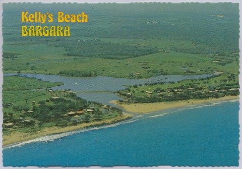
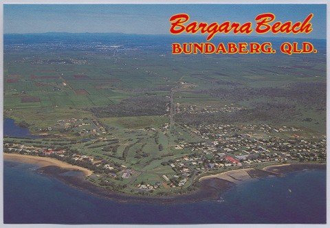
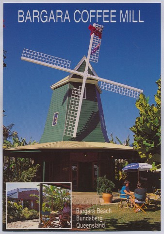
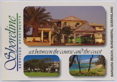
Bargara, a coastal town, is 13 km north-east of Bundaberg. It is the largest coastal town in the region of the mouth of the Burnett River, and was the administrative seat of the former Burnett Shire.
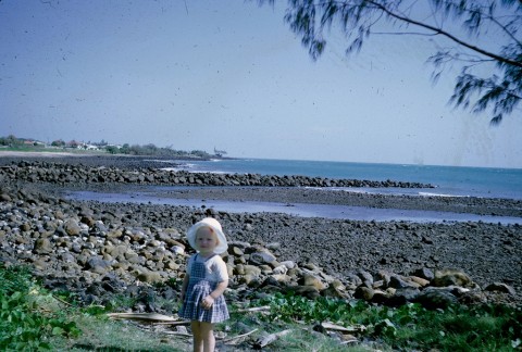
Bargara was originally known as Sandhills, an acknowledgement of the unstable coastal sand formations that were the subject of land development in the late 1880s. An early purchaser found that his holiday house alternately had sand drifts banked up against it or denuded foundations. Stabilisation was achieved with marum grass plantings in the 1920s.
The land behind the sandhills is a complete contrast. Sloping Hummock, a remnant volcanic formation named by Matthew Flinders in 1802, hosts the geologically rare cinder cone and provides fertile land for sugar cane. Augustus Barton, a semi-retired grazier, took an interest in sugar farming and built his Mon Repos homestead c1884, using scoria stones from Sloping Hummock to build walls around the cane fields. The finest surviving example of the stone walls, constructed using South Sea Islander indentured labour, is behind the Mon Repos beach and is listed on the Queensland heritage register. (The Mon Repos sugar plantation became the Qunaba refinery in 1900 when it was taken over the Queensland National Bank, hence 'Qunaba').
The Sandhills land development coincided with a similar venture at Burnett Heads, and the promoter lobbied for a railway. As evidence of good intent a hotel was built at Sandhills, but the railway at first only ran a few kilometres from Bundaberg into the cane farms. A railway to Sandhills did not eventuate until 1913, when the quiet seaside village (hotel, school and a few buildings) was renamed by combining parts of the names of two local shires, BARolin and WoonGARRA. In time one 'r' was dropped, and the pronunciation shortened to 'B'garra'.
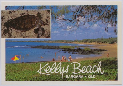
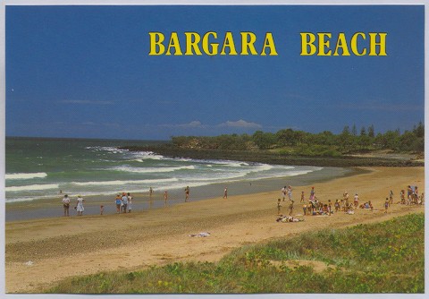
Among the few buildings at Sandhills was the receiving point for the intercontinental telegraphic cable (1893) from New Caledonia, linking Australia with America. Sandhills had a second brush with intercontinental communications when Bundaberg's Bert Hinkler first successfully launched his glider from a Mon Repos dune in 1912. Below the dune, the beach remains famous as a sea turtle hatchery.
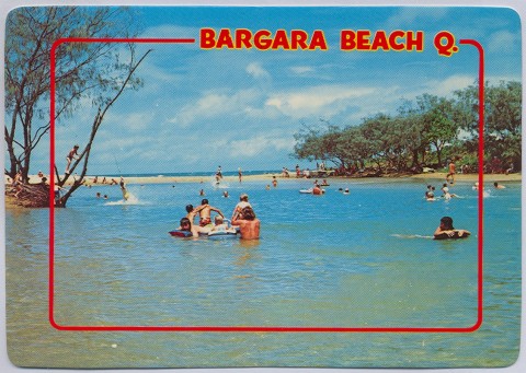
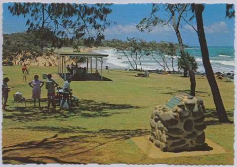
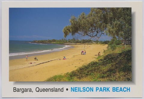
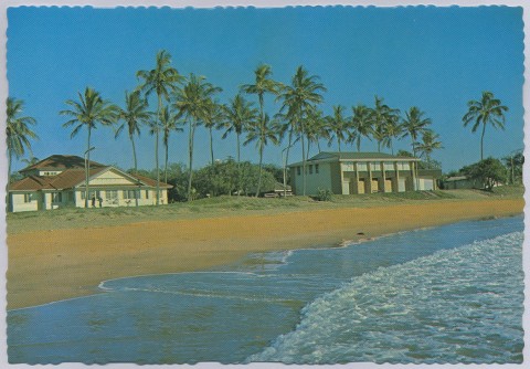
The Bargara railway gave Bundaberg residents ready access to a seaside resort. Woongarra Shire, which supported the railway, converted a pasture reserve a kilometre north of Bargara to a picnic ground, Nielson Park. In 1922 the first of numerous railway picnics to Nielson Park began, ultimately drawing 100 railway carriages of visitors from Gladstone, Mount Perry and Maryborough. The year before, the Bundaberg Surf Life-Saving Club had been constructed at Nielson Park, and within a few years a golf course was laid out. The most prominent built landmark was the two storey Marlau guesthouse, later the Grand Pacific flats and a World War II coastwatch station.
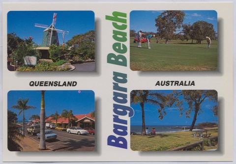
The Bargara and Nielson Park Progress Association promoted the beach resort and lobbied for a reticulated supply to replace the well water. Growth ensued, and Bargara topped 500 in 1954. New golf links were laid out in the 1950s. A causeway to the south over Money's Creek provided space for expansion and several estate subdivisions were launched in the 1970s. A foothill of Sloping Hummock was the site of a panoramic subdivision, while the coastal Don Pancho Beach Resort epitomised the era's trend to leisure development. Woongarra Shire Council was in the vanguard of this development phase, planning a sewerage scheme in 1968 and completing it in 1971. A proposed boat harbour did not proceed, the project instead proceeding at Burnett Heads.
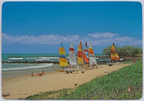
Bargara's population doubled during the 1970s to about 1700. During the 1990s growth rates remained stable, the population reaching 5000. Bargara's southern growth shaded into the adjoining town of Innes Park. The vacationing population is considerable, accommodated in bayside caravan/camping parks, motels and apartments. Nielson Park Beach is the site of the surf life-saving club. The Coral Coast visitor information centre was opened in 2004. There are golf and bowling clubs and a retirement village, while the absence of a high school illustrates the town's older demographic profile. The town centre has three churches and local shops, and out of the centre there are a drive-in shopping centre and the former Burnett Shire offices (Burnett Shire was formed from an amalgamation of Gooburrum and Woongarra Shires in 1994).
Continued development has put pressure on Bargara's infrastructure with an upgrade of the sewerage treatment plant.
On Australia Day 2013 a series of tornadoes and water spouts crossed the Wide Bay coast at Bargara and damaged homes and businesses, felled power lines, uprooted trees and damaged cars. The bowls club lost its roof.
Bargara's census populations have been:
| Census Date | Population |
|---|---|
| 1921 | 61 |
| 1947 | 308 |
| 1966 | 582 |
| 1976 | 1716 |
| 1991 | 2703 |
| 1996 | 4525 |
| 2001 | 5170 |
| 2006 | 5525 |
| 2011 | 6893 |
Neville Rackemann, A century of progress: Woongarra Shire 1885-1985, Bundaberg, Woongarra Shire, 1985