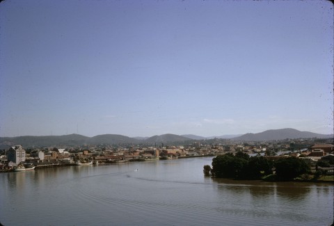
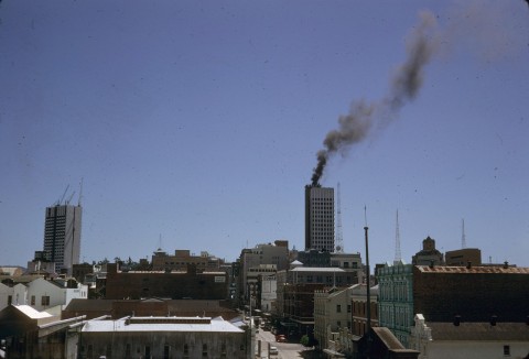
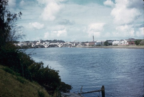
Brisbane Central is on a protruding tongue of land on the northern side of the Brisbane River. Bordered on three sides by the river, the northern edge of Brisbane Central adjoins the suburbs of Spring Hill and Fortitude Valley. Petrie Terrace to the west, once separate, is now included with the central city area.
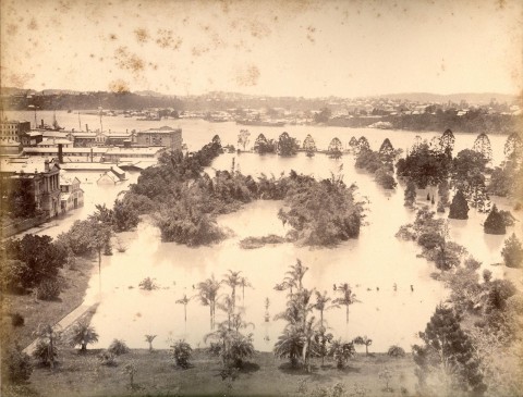
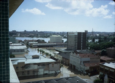
After a brief sojourn at Redcliffe (Humpybong), a convict settlement was moved to the Brisbane River. It was not positioned at Breakfast Creek, which Lieutenant John Oxley had noted as a suitable place for a village, but at the tongue of land a couple of kilometres upstream. The reason for choosing that site is unclear, but there were fresh water ponds and the land was reasonably elevated, although it was not high enough to avoid flooding of the botanic garden and the eastern side of the city in 1893.
TOWN PLAN
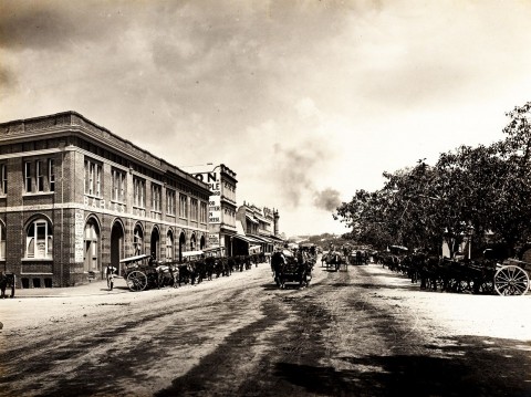
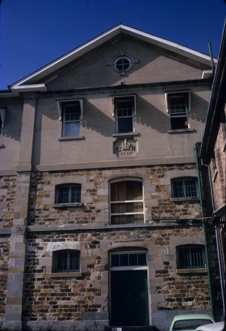
Buildings were constructed for the convict settlement, generally at right angles to the river's shoreline in the direction of Queen Street, and along the shoreline south-east of today's Victoria Bridge. The outstanding surviving building is the Commissariat Store (1828-29), originally two storeys, in William Street. The street layout, however, developed from a thoroughfare from the river's edge running north-east to the prisoners' barrack near the corner of today's Queen and Albert Streets. When a town survey was done in 1840 that thoroughfare was chosen as the main street – Queen Street – and the grid pattern of square blocks moved out from the Queen Street axis. There were several versions of the town survey. The proposed streets varied in width from 20 to 28 metres but Governor Gipps, anticipating an inauspicious future for the settlement, trimmed them back to the lesser figure. Streets running parallel to Queen Street were named after British and related royalty, among them Queen Mary II, Queen Charlotte (wife of George III) and Queen Adelaide (wife of William IV). William, George, Albert and Edward Streets, running at right angles, had similar royal antecedents. Creek Street's position approximated the course of a minor stream, Wheat Creek.
The town survey occurred about three years after a select committee of the British Parliament had concluded that transportation had ceased to deter crime and, in any event, was tainted with inhumanity. By 1839 Moreton Bay was being transformed from a convict settlement to a free settlement, and in July 1842 the first sales of Brisbane land took place in Sydney. Nearly 60 allotments, each of 36 perches, in North and South Brisbane were offered. Twelve months later blocks in Kangaroo Point were sold. Little care was taken to reserve land or space along the river's edge for public purposes, but the government farm at the south-east end was kept and in time became the botanic gardens.
OUTER SETTLEMENTS
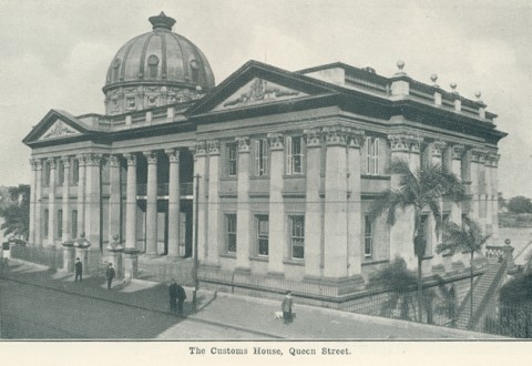
The scatter of urban land sales detracted from North Brisbane's role as a central place in Moreton Bay. Wharves were set up on both sides of the river, and there was an Ipswich-Cleveland 'axis' backed by rural interests which wanted the administrative centre and a port at those places. Probably it was the building of a customs house in 1849 on the river in North Brisbane which had a decisive effect: wharf interests moved, to be closer to the customs house, which in turn influenced the location of warehouses and merchandising. South Brisbane remained at a disadvantage until a permanent Victoria Bridge (1874) replaced ferry crossings.
Four years after the first land sales North and South Brisbane's populations were 614 and 346 respectively. The town was nothing much to look at: convict buildings were dilapidated, new structures had been roughly built and mainly it was the steady inflow of new inhabitants which held the best prospects for improvement. A Catholic school had been opened in 1845 and the Moreton Bay Courier weekly newspaper began publication in 1846, but it was not until the end of the decade that noticeable civic amenities emerged. Coinciding with the arrival of the Fortitude immigrants in 1849 (who were settled outside the town boundary, north of Boundary Street), an Anglican school was opened and a Wesleyan church built in Albert Street. A school of arts was established, moving into its own hall in Creek Street in 1851. Regular postal deliveries were introduced in Brisbane in 1852.
During the 1850s most Churches constructed substantial buildings: St Stephens Catholic in Elizabeth Street (1850), St Johns Anglican, William Street, Presbyterian, Ann Street (1857) and Baptist, Wharf Street (1859). There were three ferry services, to South Brisbane, Kangaroo Point and the 'middle' service from Edward Street, also to Kangaroo Point. The Brisbane Municipal Council was proclaimed, just before colonial self-government, in 1859.
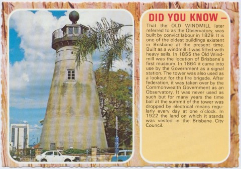
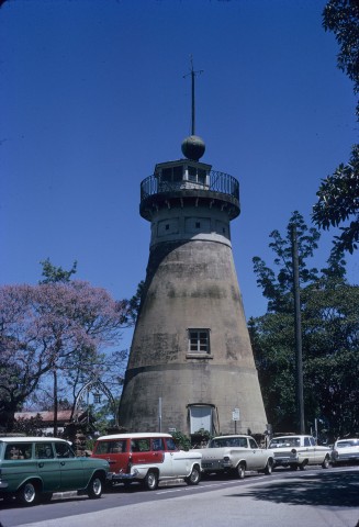
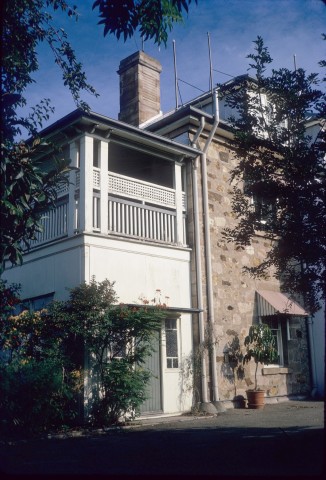
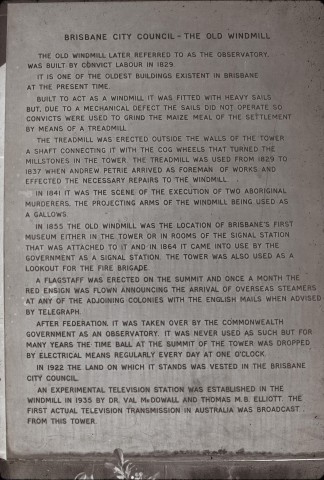
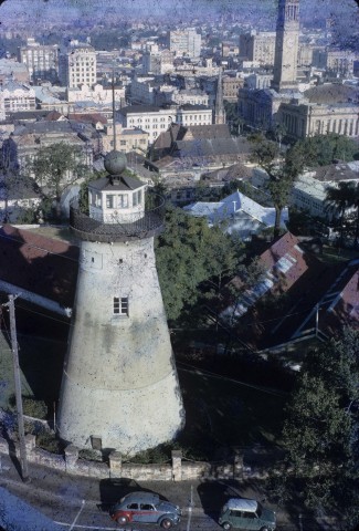
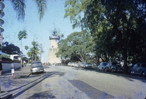
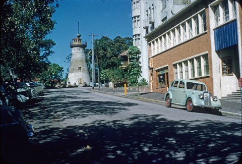
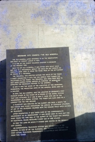
There had been land sales well beyond the town boundaries, but in the early 1860s allotments were cut up for working-class cottages in Spring Hill, Petrie Terrace and Fortitude Valley. In 1861 a census recorded over 8000 people in Brisbane and another 5000 in adjoining areas. An Ipswich to Brisbane telegraph began operation and the unused convict windmill (1828) up in Wickham Terrace was converted to a signal station with a time ball.
TOWN IMPROVEMENTS
Municipal improvements were brought in with improved town lighting from the Brisbane gas works (1864) in Petrie Bight, north of the customs house, and the widely felt need for recreation space was officially recognised by a survey of Yorks Hollow (where the Fortitude migrants had been sent) for Victoria Park. Progress there was slow, with the council using the site for sewage disposal until 1886. Fires rid parts of Queen Street of time-worn commercial buildings in 1864, clearing the way for better structures built under the supervision of fire-protection bylaws. The council also found the need to divide its area into four wards, expanding it into six in 1865 (East, West, North, South, Valley and Kangaroo Point). The council also expanded to a new town hall in Queen Street (1866), by when a short-lived bridge to South Brisbane (1865-67) was in operation. The water supply ponds were hopelessly inadequate, and in 1866 a supply from Breakfast Creek, Enoggera, was turned on.
Gympie gold (1867) brought prosperity to the colony, but the rural-dominated legislature spent the money outside Brisbane, a prime example being the Darling Downs railway to Ipswich (1867) with the intent of having a port on the Bremer River. Legislative shenanigans could not stop the growth of the capital city's population (15,000 in 1871, 23,000 in 1881) nor that of the adjoining suburbs. Brisbane's 1881 population of 23,000 included South Brisbane. Ten years later, after South Brisbane had been made a separate municipality in 1887, their combined populations were 49,000. By 1891 Brisbane and suburbs had a population of over 100,000.
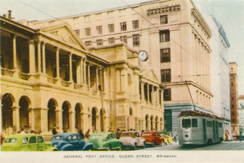
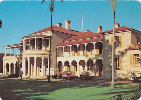
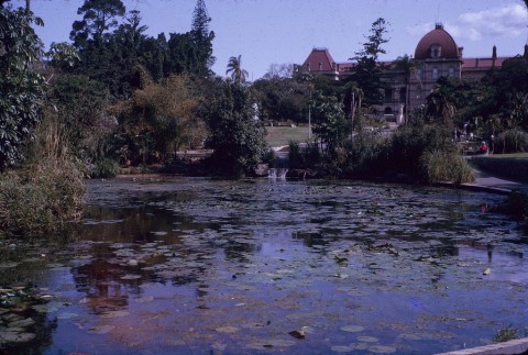
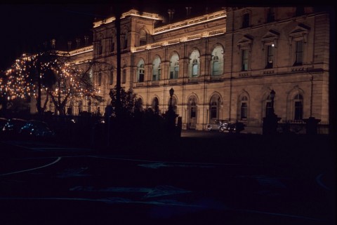
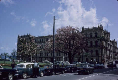
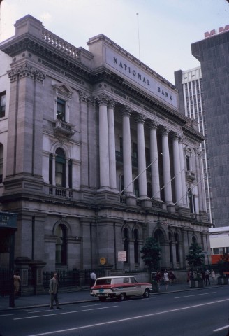
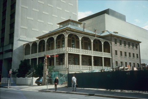
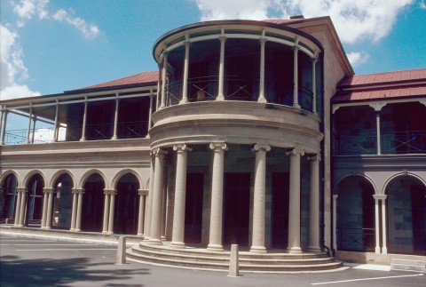
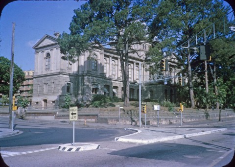
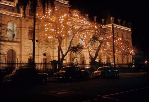
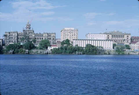
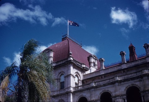
With population and export income from gold there came pressure for public buildings appropriate to the town's growing prosperity. The first of them was the general post office in Queen Street (1872), followed by the government printing office (1874) near the Commissariat Store in William Street. A torrent came in the 1880s, with the Queensland National Bank at the corner of Queen and Creek Streets, the Margaret Street Synagogue, Finney Isles Big Block emporium in Adelaide Street, and in 1889 the new Customs House, the Treasury Building in William Street and the Ann Street Presbyterian church. The legislature aspired to grandeur quite early, in 1868, with its Parliament House near the botanic gardens.
TRAINS AND TRAMS
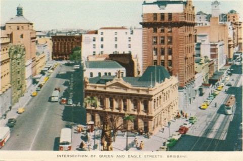
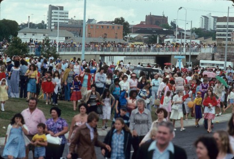
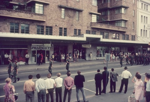
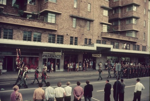
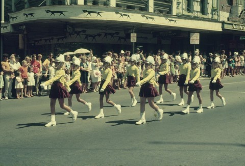
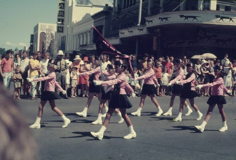
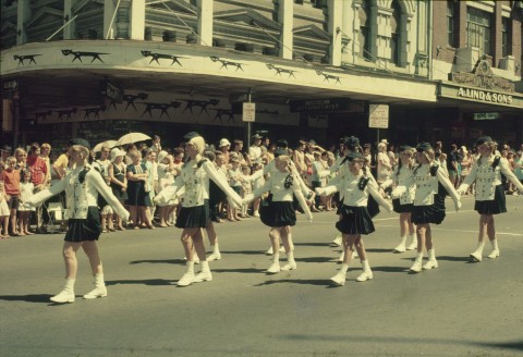
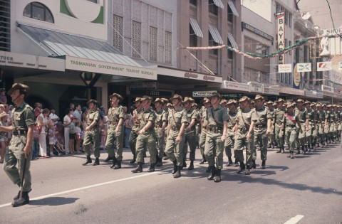
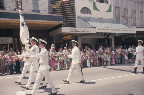
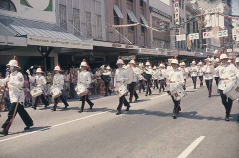
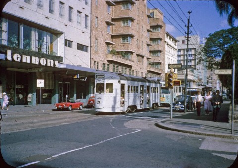
The Ipswich railway line was joined to Brisbane by a bridge across the river at Chelmer and Indooroopilly in 1876. Ten years later a line to the South Coast was under construction, but the lines were at first organised with rural freight rather than suburban passengers in mind. Suburban transport services started with a horse tram out to New Farm (1885-86), and across the Victoria Bridge to West End. Electric powered trams began in 1887. Central Brisbane was crossed by a Queen Street tram, connected to termini at Newstead, West End and Logan Road at Buranda. The main shopping centre was around Queen, George and Adelaide Streets, competing with Brunswick and Wickham Streets in Fortitude Valley. The south side had shopping at Five Ways, Woolloongabba, and at South Brisbane, although the latter declined after the 1893 floods.
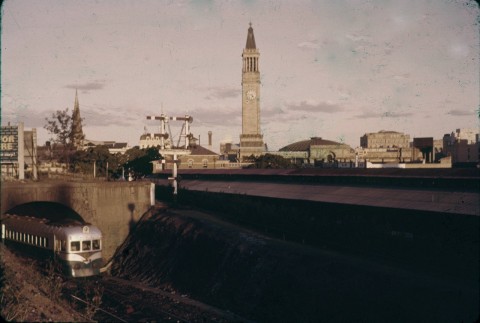
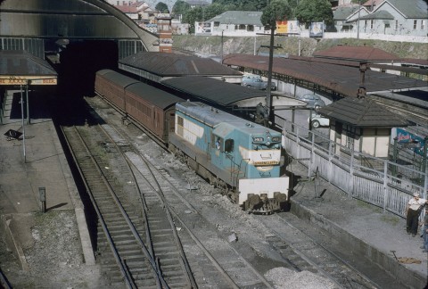
Northside tram lines from Red Hill, Kelvin Grove, Clayfield and Hamilton were opened during 1897-1902, coming into the city via Edward Street in most cases. By 1890 there were also suburban railway lines, to Sandgate via Nundah (1882), to Enoggera and to Cleveland (1889). Brisbane Central station (1889) brought northside travellers right into Brisbane, as before then the Sandgate line had ended at Roma Street via a cost saving line through Victoria Park. The line to Brisbane Central station also passed through busy Fortitude Valley.
With the addition of a tram line to Lutwyche and Kedron in 1913 the pressure of traffic led to the construction of a line along Adelaide Street (1915), which in turn required the Council to widen Adelaide Street by four metres between George and Creek Streets in 1922-23.
HOUSE SIZES
Since 1885 minimum house allotments had been set at 16 perches (10m x 40m). Residents could therefore look forward to more airy, spacious houses outside the city and its adjoining suburbs such as Spring Hill and Petrie Terrace. The better-off population invariably sought out the higher ridges on elevated sites overlooking the river, making Hamilton (with a tram in 1899) one of the most sought after suburbs. It was the new upper-working and middle-class suburbs, however, that showed the change most clearly. A comparison of two census districts in 1911, and a further comparison with 1933 data shows a pronounced trend away from four room houses toward six room houses:
| Suburbs in Census district | Private houses (% of Total) | |
|---|---|---|
| Four Rooms | Six Rooms | |
| Brisbane Central, Petrie Terrace, Spring Hill, Fortitude Valley (1911) | 19.5 | 21.9 |
| Red Hill, Paddington, Kelvin Grove, Ashgrove (1911) | 17.4 | 25.1 |
| Kelvin Grove, Ashgrove (1933) | 13.2 | 35.9 |
Similar percentages for four and six roomed houses are found in 1933 for the tram line suburbs of Lutwyche and Wooloowin, Annerley and Greenslopes, and Norman Park and Morningside.
The new houses were built on blocks of 16 perches or more, and often on two consolidated blocks, giving relatively low housing densities. Such densities yielded low population catchments for retailing centres, resulting in small local centres and neighbourhood stores and leaving the city centre and Fortitude Valley as Brisbane's regional retail centres. Each was fed by radial tram and train networks.
CENTRAL CITY SHOPPING
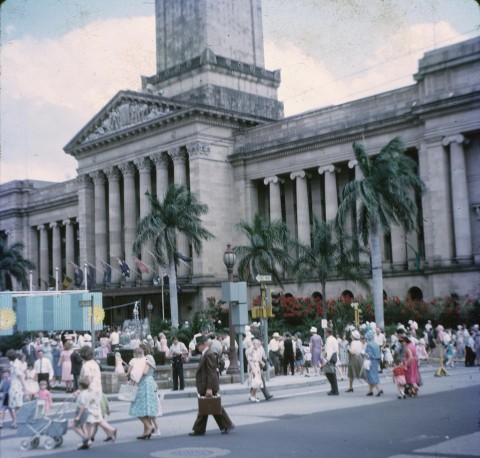
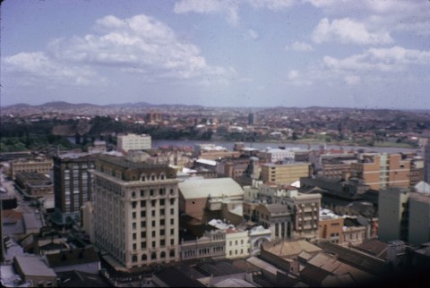
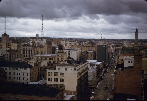
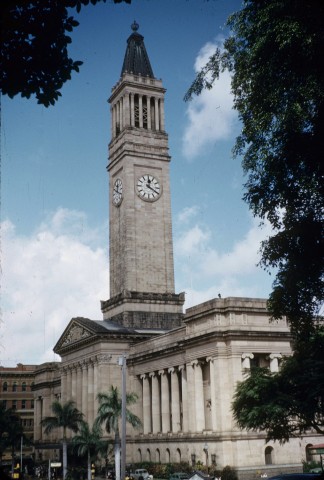
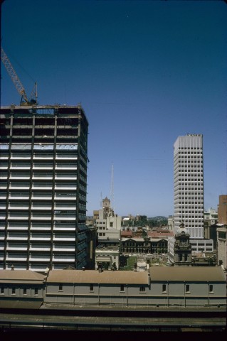
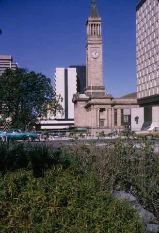
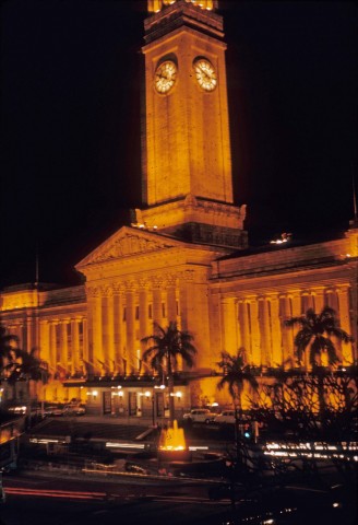
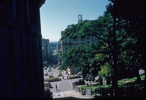
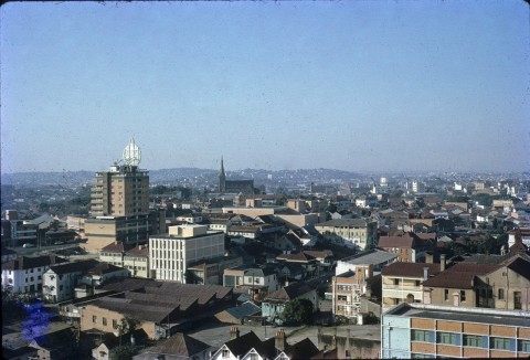
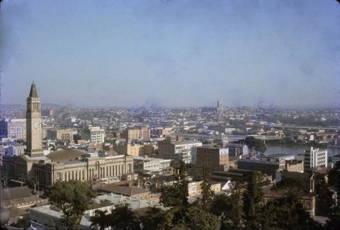
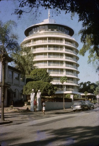
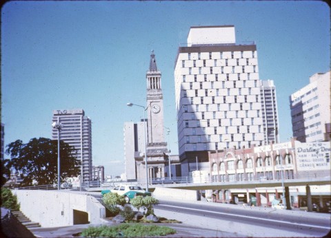
Central Brisbane had grand department stores, Finney Isles, and Allan and Stark, but not as many as Fortitude Valley. A third one came later in George Street, near the Roma Street railway station: McDonnell and East built a low-rise emporium there in 1912. Commercial and government buildings, usually of a modest height, sometimes had a massive footprint. An exception to the prevailing height practice was the Queensland (later Commonwealth) Bank administration building of eight storeys at the corner of George and Elizabeth Streets (1920) clad with sandstone and granite. The CML building, next to the GPO, went to the legal limit of 11 storeys in 1931 and was exceeded in height only by the Brisbane City Hall tower (1930).
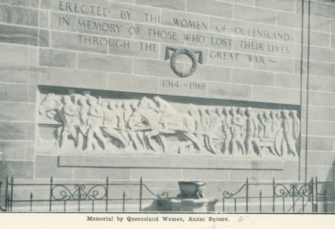
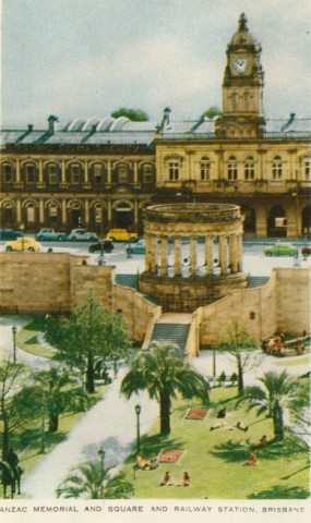
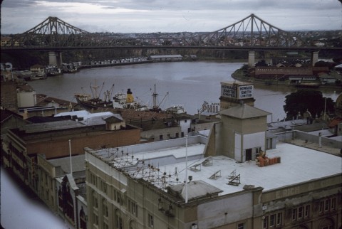
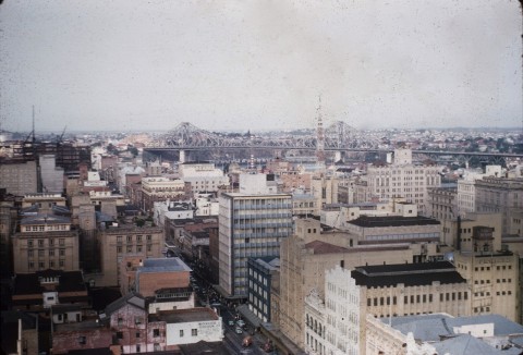
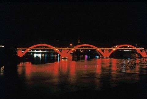
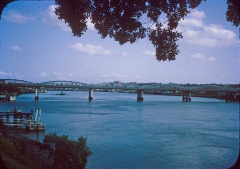
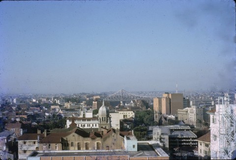
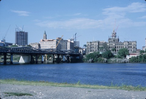
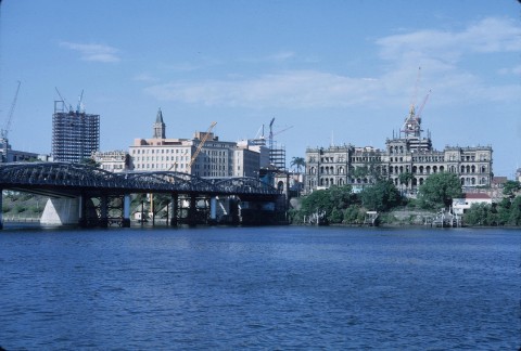
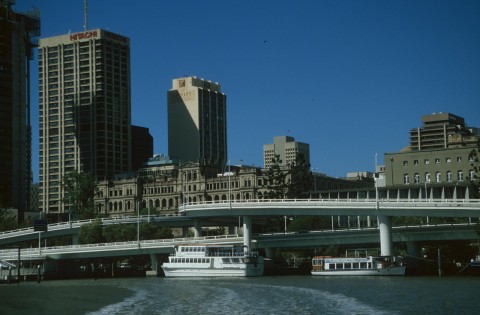
The changing commercial centre was thought to need a distinctive civic space and an Anzac Square was proposed in 1915. It was completed in 1930, coinciding with the City Hall and the construction of a second bridge out of the city, across the river to South Brisbane. Named after William Jolly, first Lord Mayor of the amalgamated Brisbane Metropolitan Council (1925), the bridge was opened in 1932. A third bridge was opened in 1940 from the other (eastern) end of the city across to Kangaroo Point. Neither bridge had trams, but each integrated with the metropolitan council's planned arterial road system.
The opening of the Story Bridge was followed by 20 years of building quietude in central Brisbane. The war and postwar recovery explains part of the inactivity, but central Brisbane made do with its prewar building stock during the 1950s. Suburban expansion was the focus of activity, exemplified by Allan and Stark building a drive-in shopping centre at Chermside in 1957. Another change was the removal of the wholesale food market from Roma Street to Rocklea in 1962.
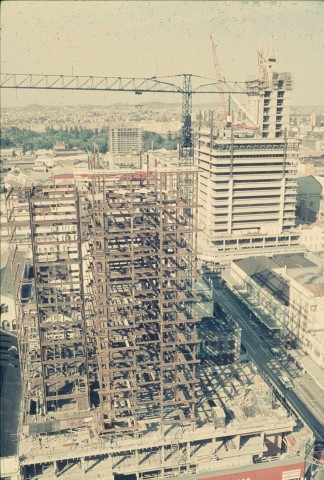
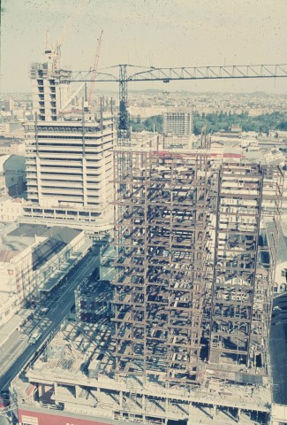
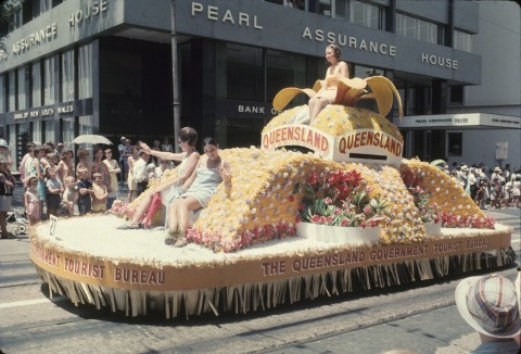
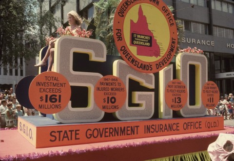
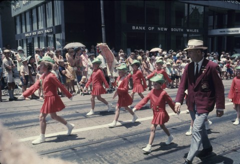
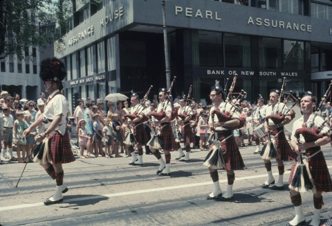
After recovery from the 1961 credit squeeze, commercial pressure and interstate example succeeded in raising the building height limit. The Pearl Assurance building (1966) at Queen Street was 15 storeys and the Manufacturers Mutual Insurance building (1967), also in Queen Street, was 22 storeys. The SGIO building (1970) in Turbot Street was an even more significant structure.
A lack of building activity in central Brisbane in the 1950s did not detract from its role as a retailing destination. Central city shopping boomed while there were low postwar car ownership and strong radial public transport services. The 1953 retail census for metropolitan Brisbane showed that the city and inner suburbs (Fortitude Valley, Bowen Hills, South Brisbane etc) had 74% of total retail sales. The remaining 26% was divided between:
| Inner northern (Ithaca-Meandah) | 6.5% |
| Outer northern suburbs | 6.6% |
| Toowong and south-west | 2.7% |
| East Brisbane-Morningside | 2.5% |
| Outer south-east | 7.7% |
Certain retail classes were even more heavily concentrated in the city and inner suburbs:
| Clothing and drapery (incl. Department stores) | 96% |
| Electrical goods | 86% |
| Furniture and floor coverings | 89% |
In 1992 the same approximate area of central city and inner suburbs had 19.6% of metropolitan retail sales; the city shopping area between Ann and Elizabeth Streets had 13.7%. The dramatic fall in the central city's share of retail sales had not, however, rendered it inconspicuous. Its nearest regional competitors were Indooroopilly with 4.9% of metropolitan retailing (1992) and Chermside, Carina and Nundah (Toombul) each with 4%.
OFFICES AND SHOPS
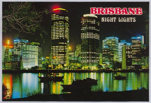
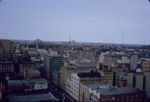
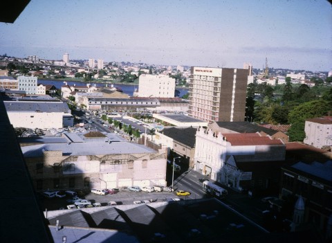
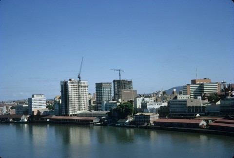
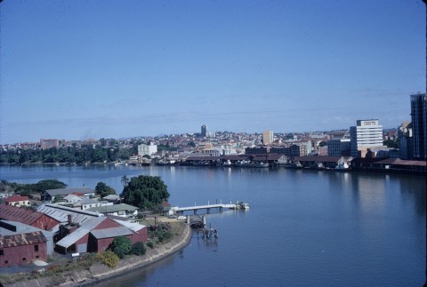
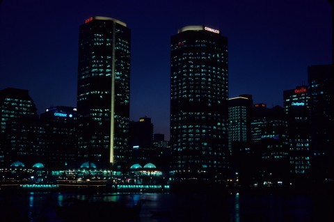
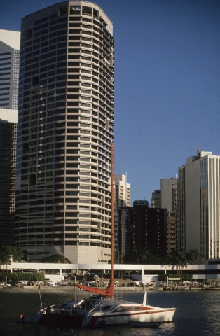
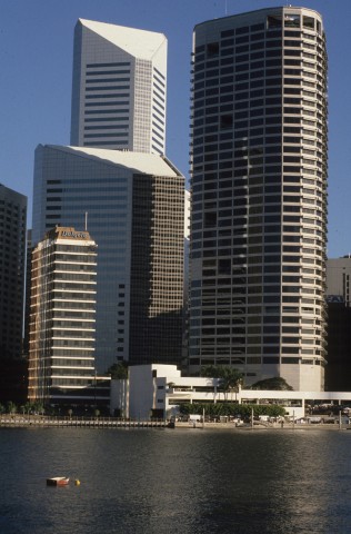
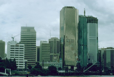
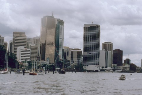
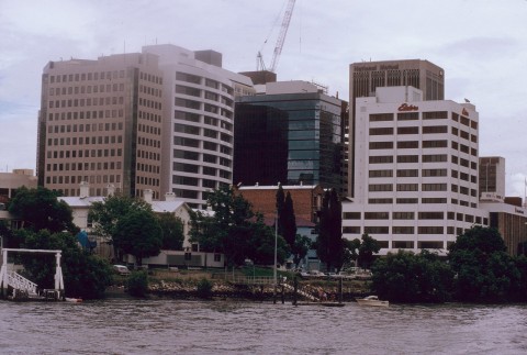
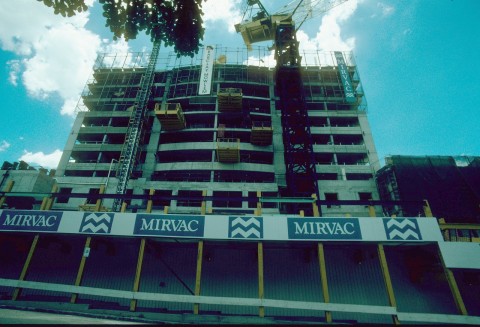
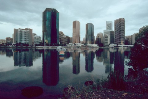
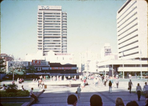
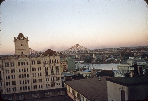
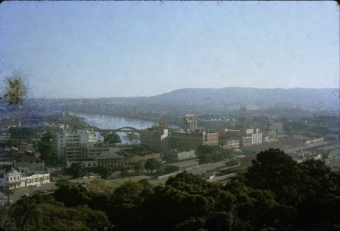
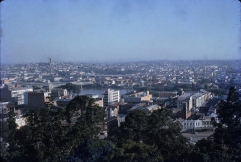
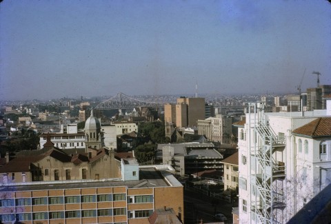
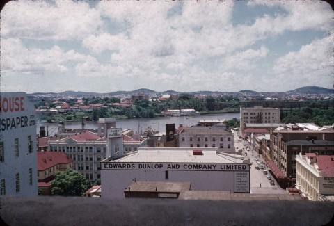
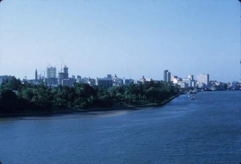
Set against the decline in retailing was the growth in high-rise office and commercial buildings. By the late 1980s central Brisbane had about 1.75 million sq metres of office space, ten times the amount of retail floor space. Its share of metropolitan office space was over 70%, and fringe areas such as Spring Hill, Fortitude Valley, Milton and Woolloongabba had another 25%. The change in Brisbane's skyline was evident from across the river, an example being the view from Kangaroo Point to the Riverside Centre office building (1987) at Eagle Street. The eastern commercial end of Ann, Adelaide and Queen Streets began to resemble the closed in narrow streets of Sydney's office precinct.
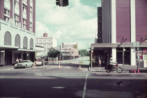
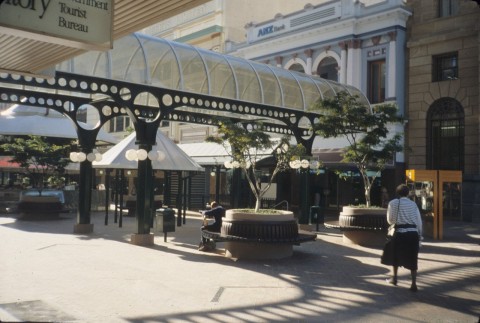
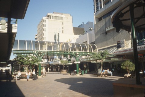
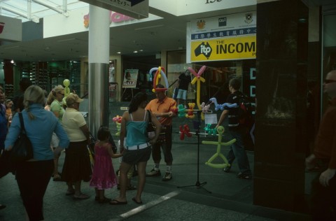
In contrast to office high rise, the Queen Street retailing centre has kept many of its old buildings. The facades are partly concealed by pedestrian mall shade sails and other structures, but the shops and arcades generate plenty of activity. The most significant addition was the Myer Centre (1988) with eight cinemas and 200 other stores, bounded by Queen, Albert and Elizabeth Streets. It replaced Allan and Stark (Queen Street, opposite side) and McWhirters, Fortitude Valley, which had both been taken over by Myer several years before. When opened, the Myer Centre's retail floor area was nearly 108,000 sq m, 26% more than the largest competing regional drive-in centre, at Upper Mount Gravatt.
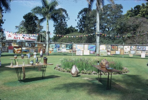
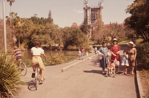
PARKS AND RESIDENTS
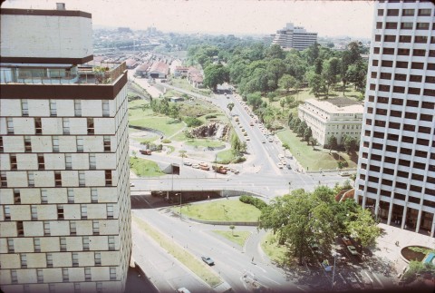
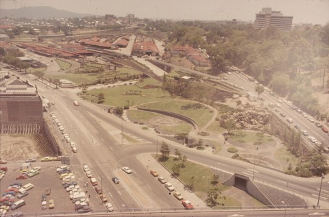
By the 1960s the growth of metropolitan population and motor traffic was putting central Brisbane's streets under strain. All three river bridges fed into the central business district, although the Centenary Bridge (1960) at Jindalee gave temporary relief. Closer in, relief came in 1969 with the widening of the Story Bridge approaches, and the opening of the fourth Victoria Bridge, often known as the Melbourne Street Bridge. The Riverside Expressway was completed in 1976, a close-in ring road along the western edge of central Brisbane, from Victoria Bridge to the new Captain Cook Bridge, and leading to the south-eastern suburbs. The Expressway decisively altered the appearance of Central Brisbane. The tram crossing had ceased to function when trams were replaced by buses, but a railway crossing came very belatedly with the Merivale Bridge, linking South Brisbane and Roma Street stations in 1978. Prior to that the lines from Beenleigh and Cleveland and the trunk standard gauge from Sydney terminated at the South Brisbane station.
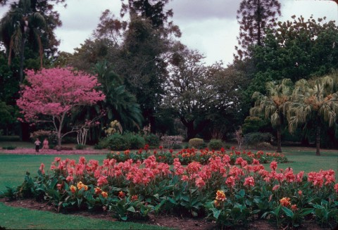
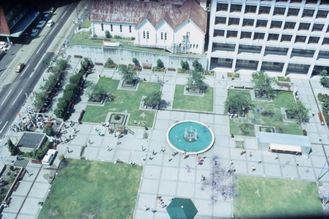
Roma Street had been the site of the wholesale food market, and for decades the land had remained under-used. The central city had incrementally added open spaces to its fabric – King George Square enlarged in 1975 and the Post Office Square opened in 1984 – and in 2001-03 the largest addition, the 16 ha Roma Street Parkland was completed.
Along with Albert Park and Wickham Park, the Parkland gives inner city residents generous open space. The residential population of central Brisbane, however, changed little between 1981 and 2001. The inner city (approximately between Ann and Elizabeth Streets) had just 45 dwellings in 1981 and 689 in 2001. The resident populations for the respective years were 1174 and 976, a decrease. Apartments had replaced boarding houses and rooms. The rest of central Brisbane (including Petrie Terrace) also saw an increase in dwellings (758 to 1282) and a decrease in population (3511 to 1797). Single person apartments had increased, multi-person dwellings had decreased and some of each were not lived in full time, often being held for prospective capital gain. The boom in apartment building from 2001 has added thousands of apartments, many rented by overseas students.
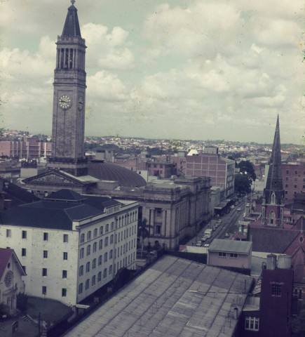
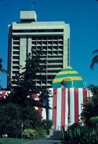
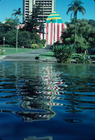
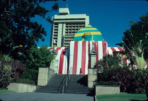
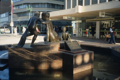
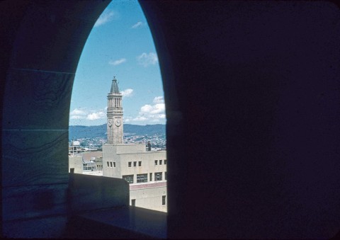
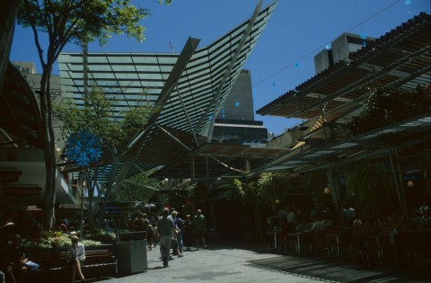
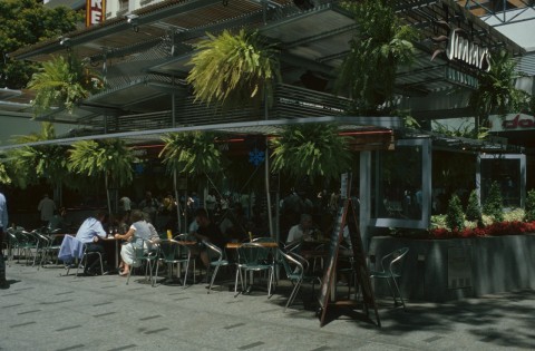
The distinctive features of twenty-first century Brisbane are its increasing resemblance to other capital city office precincts, with forecourts, sub-tropical decorative plants and outdoor cafes. Queen Street's signature silver bullet trams last ran in 1969, but the street's unusual width (Andrew Petrie apparently persuaded Governor Gipps on this point) has provided for a signature shopping mall with generous outdoor seating and dining areas. Out of the central retail area elegant sandstone government and commercial buildings have survived, surely an iconic architectural form. Some buildings have removed their clerks and accountants, substituting hotel patrons, tourists and casino visitors. The historic customs house was purchased by The University of Queensland from the federal government, and includes meeting, dining and gallery space. The City Hall (1930), once the tallest building, has been dwarfed by surrounding skyscrapers, so its clock tower no longer affords a commanding view over Central Brisbane. In 2008 the Brisbane City Council agreed to underpin City Hall which was in danger of gradual sinking on inadequate foundations.
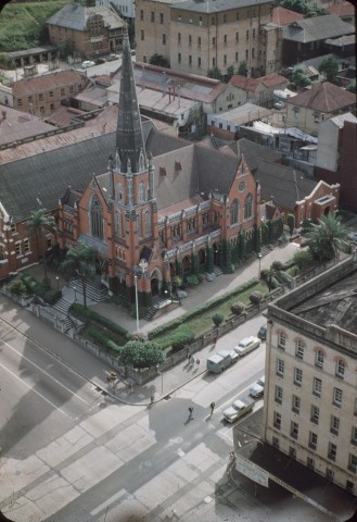
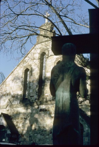
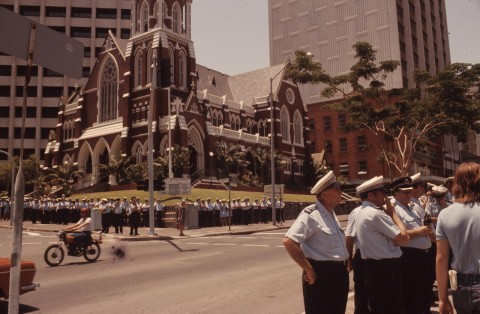
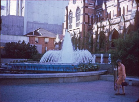
The gothic-style St Johns Anglican Cathedral, commenced in 1901-06, was finally completed in 2009. Bounded by Ann and Adelaide streets, the cathedral roof and other buildings sustained extensive damage in a storm in 2014.
Census populations for present-day Brisbane Central were first recorded in 1971, and the figures included hotel guests and visitors. They were:
| Census Date | Population |
|---|---|
| 1971 | 3645 |
| 1986 | 2581 |
| 1996 | 7351 |
| 20011 | 2773 |
| 20062 | 12,430 |
| 2011 | 7888 |
2 Residents only.
F.J. Brew and R. Dunn, Sixty-six years of municipal government, Brisbane, Brisbane City Council, 1925
Don Marshall, Brisbane: portrait of a city, Brisbane, Robert Brown & Associates, c1991, 1994
Royal Institute of Architects (Queensland Chapter), Buildings of Queensland, Brisbane, Jacaranda Press, 1959
John R. Cole, Shaping a city: Greater Brisbane 1925-1985, Eagle Farm, William Brooks Qld, 1984
Graham De Gruchy, Architecture in Brisbane, Bowen Hills, Boolarong with Kookaburra Books, 1988
Gordon Greenwood and John Laverty, Brisbane 1859-1959, edited by Gordon Greenwood, produced by Oswald L. Ziegler for the Council of the City of Brisbane, Sydney, Ziegler, 1959
William Job, The building of Brisbane 1828-1940, St Lucia, University of Queensland Press, 2002
W. Ross Johnston, Brisbane: the first thirty years, Bowen Hills, Boolarong, 1988
J.G. Steele, Brisbane Town in Convict Days, St Lucia, University of Queensland Press, 1975
Pamela Statham, The origins of Australia's capital cities, Melbourne, Cambridge University Press, 1989