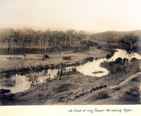
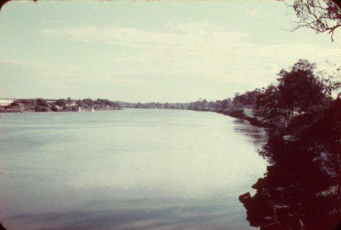
The Brisbane River has its headwaters in the Brisbane Range about 25 km north-east of Nanango and 140 kms from central Brisbane. It has numerous tributaries, principally: the Stanley River, beginning near Maleny: Cooyar Creek, beginning at Cooyar, along with a host of minor streams running off the Blackbutt Range; the Lockyer Creek, beginning down the range from Toowoomba; the Bremer River, which rises just east of Cunningham's Gap; the Warrill and Purga Creeks, from near Kalbar and the New South Wales border (Mt Barney) respectively; and the small urban creeks comprising the Enoggera, Oxley, Bulimba and Norman. The river and its tributaries drain 13,500 sq km. About half the catchment is below the Stanley River.
The Brisbane River system adjoins several others which take waters coastwards, including the Mary, the Maroochy and the Mooloolah rivers north of Brisbane, and the Logan, Albert, Coomera and Nerang rivers to the south. Just a few kilometres across Cunningham's Gap, west of the Bremer River's headwaters, tributaries of the Condamine River rise. They enter the Southern Ocean via the Murray-Darling system.
EXPLORATION
Mathew Flinders in his coastal voyages of 1799 and 1803 avoided entering the shallow parts of Moreton Bay, thus missing the Brisbane River. Two decades later the New South Wales Surveyor-General, John Oxley, under instructions from Governor Brisbane, surveyed several remote locations to assess their prospects as penal stations for intractable members of the convict population. Flinders had named Pumicestone Channel, which Oxley entered in 1823, working southwards past the mouth of the Pine River until he came upon low islands at the mouth of the Brisbane River. He explored upstream as far as Gailes. The following year Oxley travelled upstream to near Lake Manchester, passing and naming the Bremer River, and in 1825 Major Edmund Lockyer explored as far as Toogoolawah or thereabouts.
By then Oxley had conveyed the first convict party to Brisbane, leaving them under the command of Patrick Logan. Limestone Station was named upstream (1828), providing the source of Brisbane's mortar for building the convict barracks. It became the site of Ipswich on the Bremer River.
Allan Cunningham, who had accompanied Oxley in 1824, explored the Brisbane River upstream from Ipswich in 1829. He provided detailed topographic descriptions of the land adjoining both the main watercourse and the Lockyer. Two years earlier he had explored north-westwards of the Hunter Valley, New South Wales, coming upon the Darling Downs on the other side of the Dividing Range. His favourable report of the Downs' grazing and agricultural prospects brought about a pastoral invasion that began in 1840 when the Leslie brothers settled near Warwick. Brisbane had endured a grim decade of convictism but, coinciding with the Downs' settlement, it was decided that the town should become a free settlement. The infant town on the Brisbane River was counterbalanced by an inland pastoral axis which favoured Ipswich, and Ipswich later sought to bypass port facilities in Brisbane in favour of Cleveland in Moreton Bay.
EUROPEAN SETTLEMENT
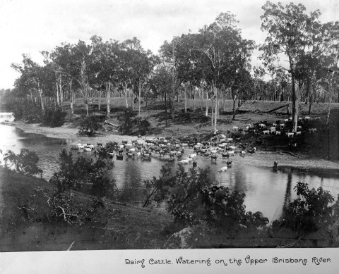
In 1841 pastoral settlement began in the Brisbane River Valley with the Archer brothers' Durundur Station near Kilcoy, followed by the Mt Esk station in 1842. The Archers pushed west along Emu Creek (a tributary of the Brisbane River) to Cooyar in 1845. The Nanango pastoral station (1842) was northwest, nearing the limits of the watershed. A store was established there by the late 1840s. Warwick, located between the Downs and the southwest of the Brisbane watershed, was established in 1849. Rural settlement flowed west from Ipswich to Toowoomba, along the Lockyer Valley and mouth from Ipswich up the Brisbane Valley. Gatton's origins date from about 1846 and its township was surveyed in 1859. Fernvale, settled in the late 1860s, was the first of several towns in the lower Brisbane Valley. Esk was settled about ten years later. Settlement was assisted by German immigration - Lowood was a German farming community - and closer-settlement was supported by the construction of railways, which transported vegetables and dairy produce to metropolitan markets.
FARMS AND RAILWAYS
The Ipswich to Toowoomba railway (1867) was directed at reducing the cost of transporting freight from Toowoomba and the Downs to an upstream wharf on the Bremer River at Ipswich. Prior to the railway, getting loaded drays through the Rosewood scrub was a difficult business, and over 120 were bogged during one wet month. By a stroke of luck, the line passed through fertile country, amendable to cultivation and grazing when the scrub was cleared. Timber from the scrub was a useful adjunct for getting farms on their feet, and the railway transported sawlogs to Brisbane mills.
The Warrill-Purga Creeks Valley had a railway to Harrisville by 1882 and to Boonah by 1887. A railway was built northwards from Ipswich to Esk in 1886, pausing there until 1904 when it was extended to Toogoolawah. That extension coincided with the opening of creameries and local dairy co-operatives, along with condensed milk factories at Lowood and Colinton.
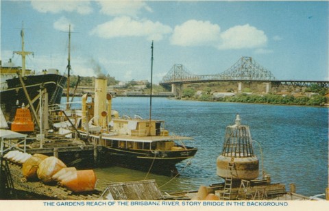
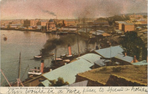
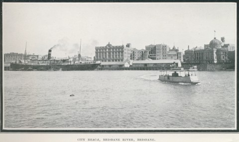
RIVER WHARVES
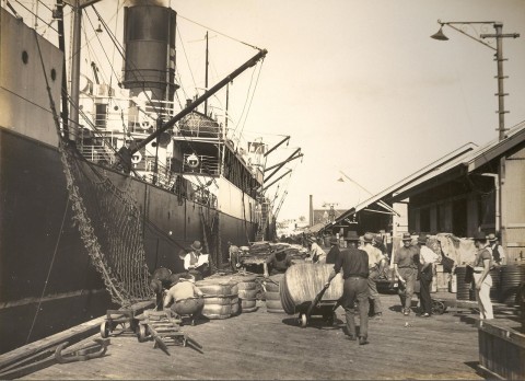
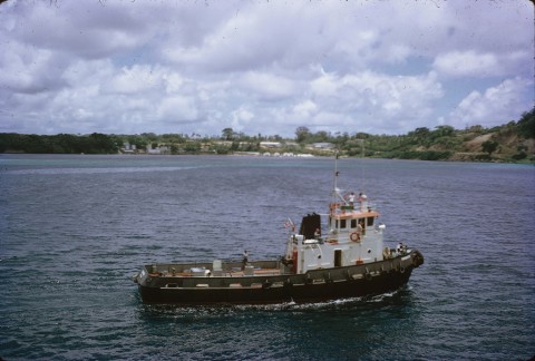
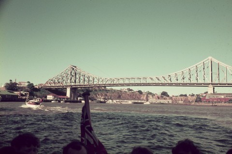
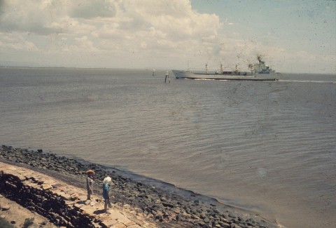
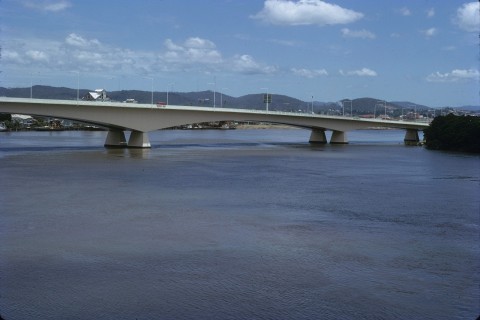
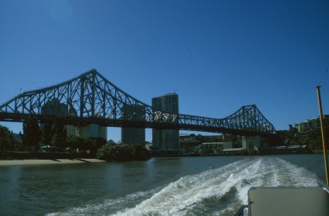
A railway link between Ipswich and Brisbane was completed in 1876, crossing the Brisbane River at Indooroopilly and ending at Roma Street, some distance from the river wharves. In 1884 a branch line linked Corinda to the railway wharf station at today's Lower River Terrace, below the South East Freeway. The following year the South Coast line was connected to the wharf line, and its terminus was taken to Melbourne Street, alongside the Stanley and Musgrave wharves, in 1897. In that year a goods line was opened on the other side of the river from Bowen Hills to the Teneriffe and New Farm wharves. Dalgetys, CSR and other large exporters immediately took up positions at the new facilities. Downstream at Pinkenba there were an explosives magazine and a meat-export works. On the opposite (south) side of the river was Fort Lytton (1880) with guns trained across the entrance to repel invasion, Brisbane being just three days' sail from the French garrison at Noumea. When a railway was run out to Ascot in 1882 it was half way to Pinkenba, to where an extension was made in 1897.
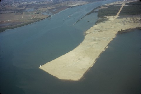
Sand was dredged from the river for the railway embankment and a channel was blasted through the Lytton Rocks. Most river wharves also had dredged infill put behind the piles to create land above high tide and to deepen anchorages. Upstream from Brisbane dredged sand and gravel were taken from the early 1900s for the building industry. Downstream dredged material was dumped on low lying land, creating Bishop, Fisherman and Whyte Islands and reclaiming parts of Hemmant, Meeandah and Whinstanes for industrial and port development.
FLOODS
The Brisbane River has flooded often during European settlement. The four most severe events were in 1841, 1893, 1974 and 2011 (see below). The 1893 flood backed up the Breakfast/Enoggera Creek to Newmarket, the Norman Creek to Buranda, and the Oxley Creek and Rocky Water Holes to much of their low-lying hinterlands. Most of the river banks were inundated with floodwaters penetrating to Paddington from the Milton Reach. Flood mitigation by upstream reservoirs in 1893 was beyond the colony's resources or its need for water storage. Metropolitan Brisbane was well supplied by both the Enoggera and Gold Creek reservoirs (1886). A small storage on Cabbage Tree Creek, a tributary of the Brisbane River at Kholo, was completed in 1916. Known as Lake Manchester, it did not fill until the 1920s because of a rain-shadow effect from the D'Aguilar Range.
DAMS
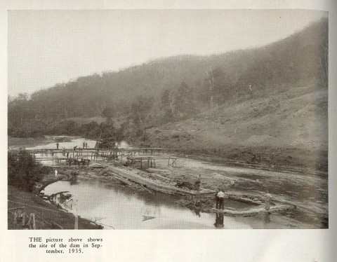
The Somerset Dam on the Stanley River near Kilcoy became the first major dam for the growing metropolis. Begun in 1935, the dam took 20 years to complete, with work ceasing during the war. It mitigated flood conditions in 1955, 40% of its capacity being kept unfilled for flood control. The 1974 flood hastened construction of the Wivenhoe Dam, downstream of the Somerset. It enables the impounding of the waters of the Brisbane River. At 1.15 million megalitres, its capacity is more than three times Somerset's, but its design was primarily for flood mitigation, rather than water storage, as its lack of depth leads to relatively high evaporation.
LAND-USE CHANGES
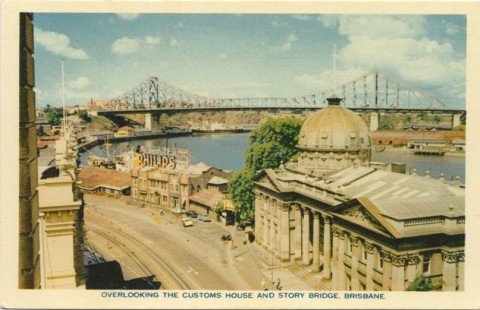
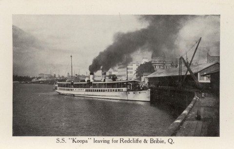
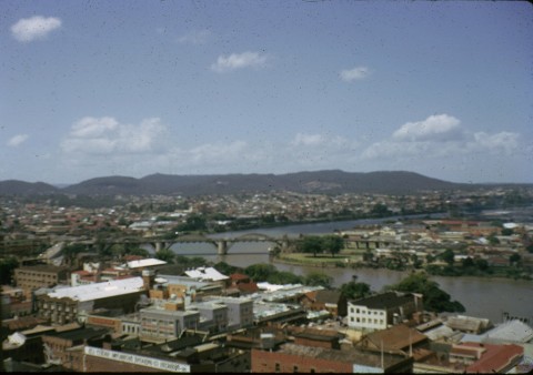
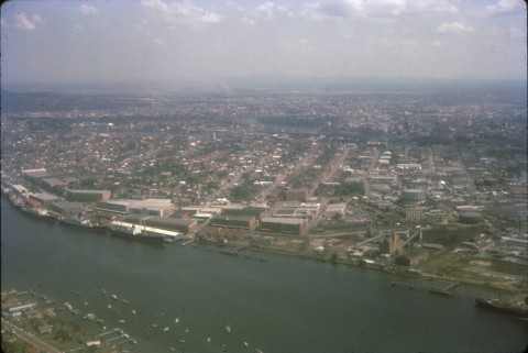
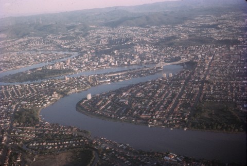
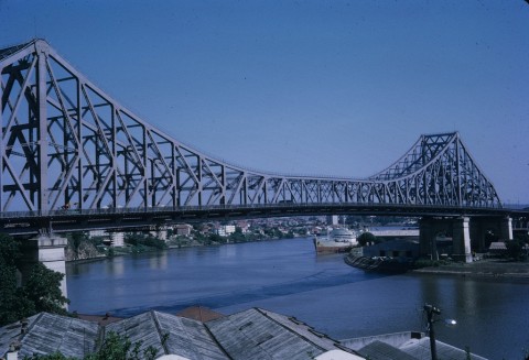
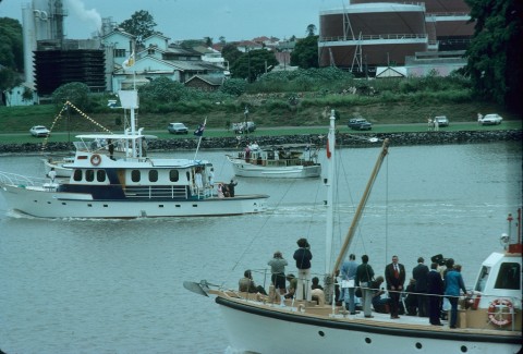
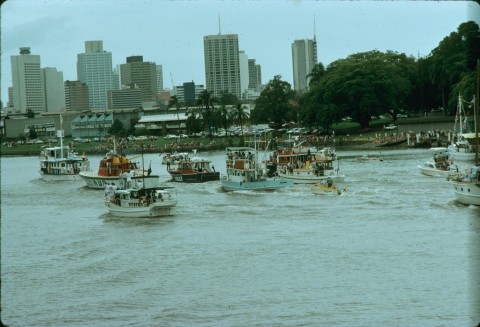
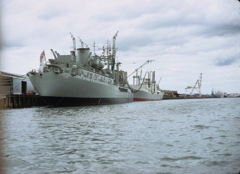
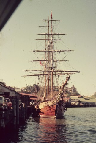
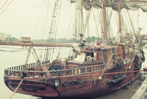
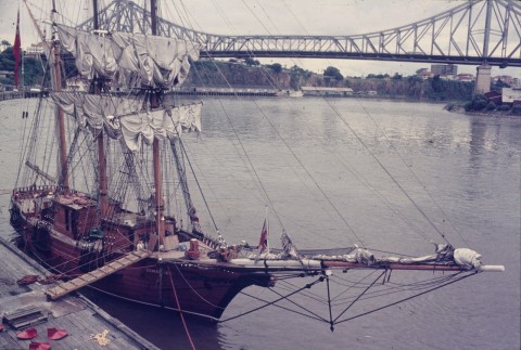
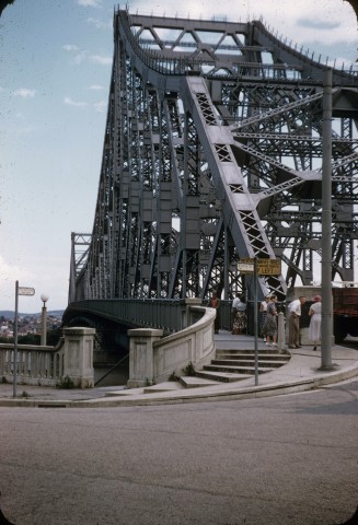
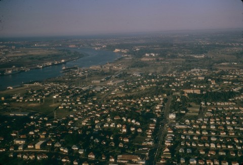
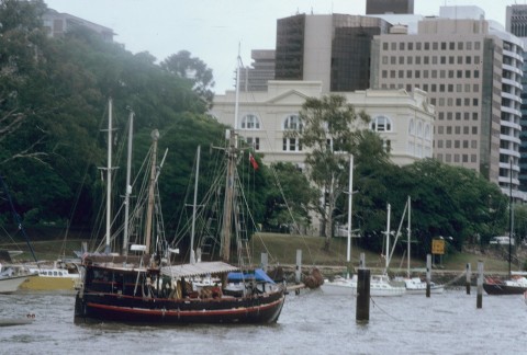
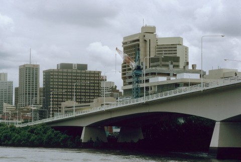
Until the 1960s Brisbane's port facilities were along the river downstream from Victoria Bridge, concentrated around South Brisbane, Petrie Bight, New Farm-Teneriffe, Newstead and Hamilton (Bretts Wharf, etc). The Cairncross graving dock, begun during World War II at Colmslie, had taken over from the South Brisbane facility (1876) just west of the Captain Cook Bridge. The latter dock is now preserved as part of the Brisbane Maritime Museum. Refineries were constructed near the mouth of the Brisbane River in 1965 and during 1976-80 the Fisherman Island wharf (600m of berthing space) was constructed. The adjoining Whyte Island has tug-towing, water police and customs facilities. The railway from Lindum to Fisherman Islands was opened in 1980.
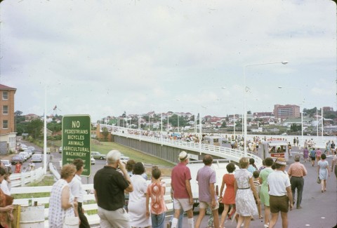
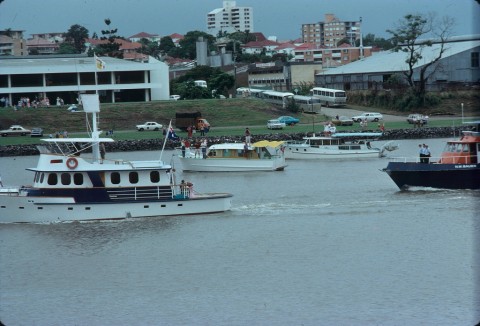
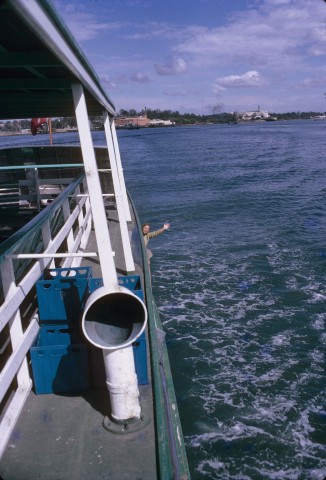
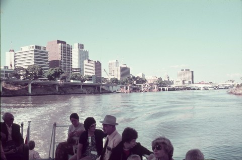
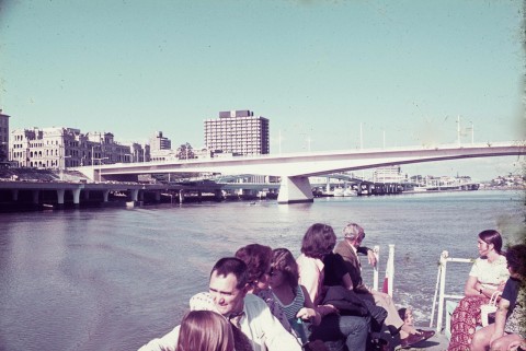
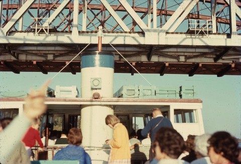
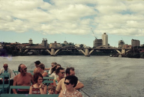
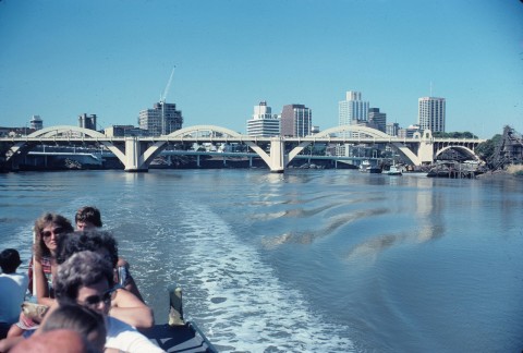
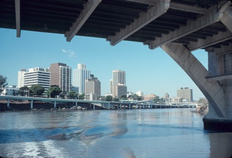
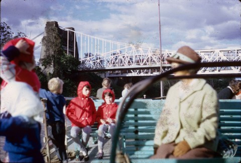
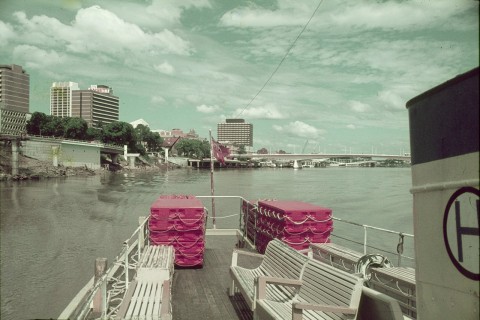
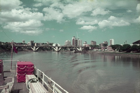
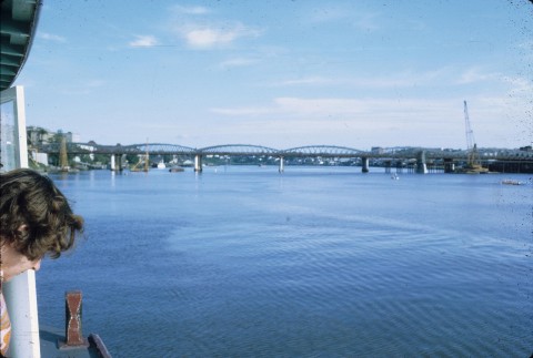
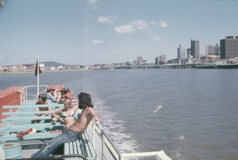
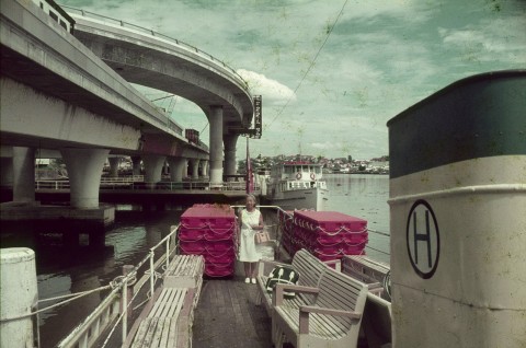
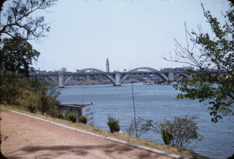
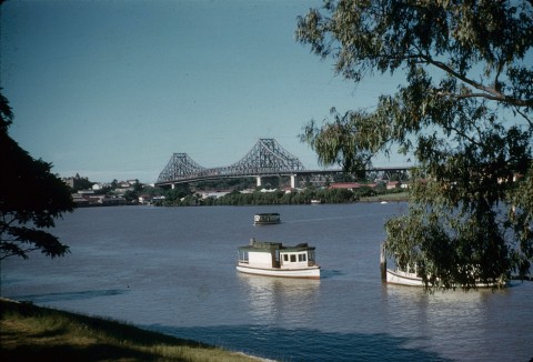
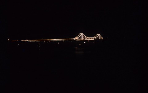
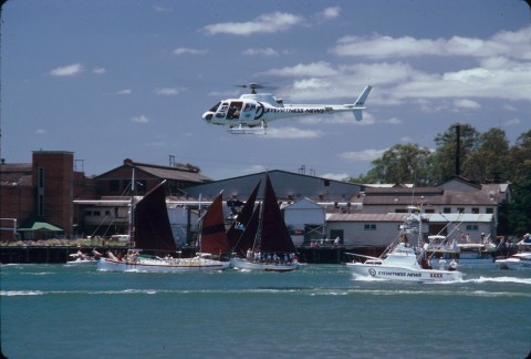
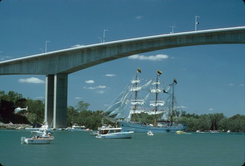
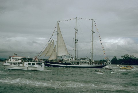
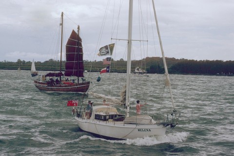
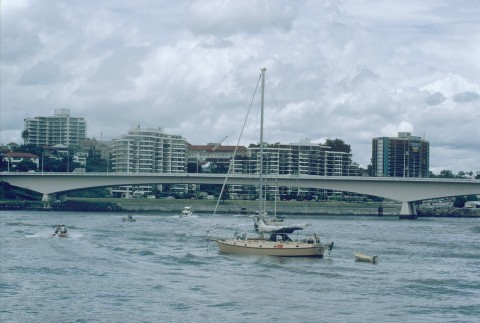
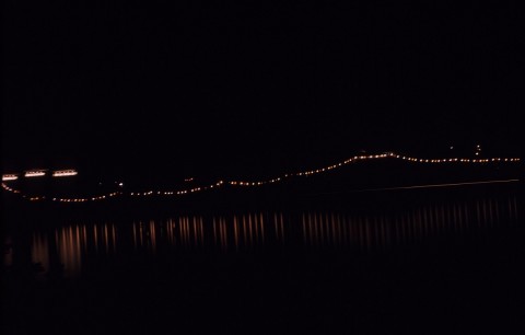
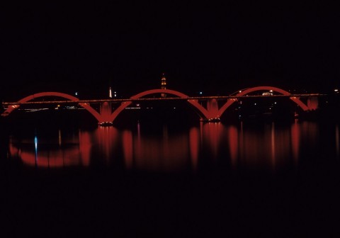
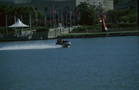
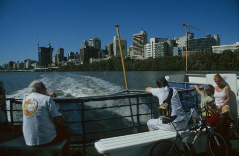
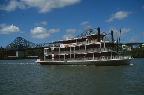
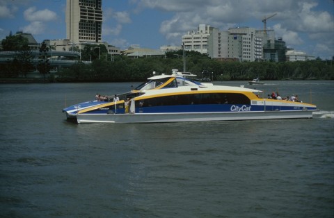
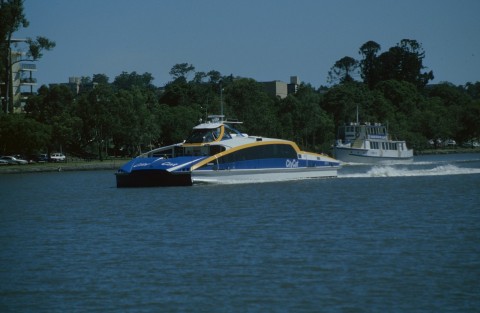
With the removal of wharf facilities downstream, the river frontages were de-industrialised. South Brisbane's riverfront was the first showpiece with the arts precinct and the South Bank parklands, used in the first instance as the site for the 1988 Expo. Ship and naval yards at Kangaroo Point were transformed into parklands, along with a quarry site on the west side. On the other side of the river, residential apartments were in high demand, especially those with private jetties or river views. Many cross-river ferries were supplanted by the City Cat service (1996) which conveys passengers some 16 km along the river from Bretts Wharf to St Lucia, with jetties on both sides at numerous locations.
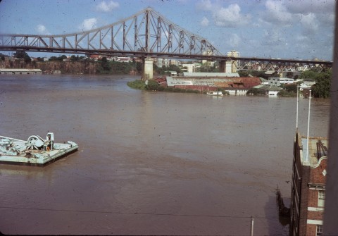
FLOODS 2011
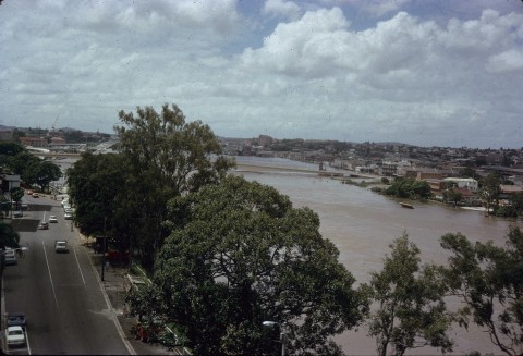
On 10 January 2011 the Brisbane River flooded many adjacent Brisbane suburbs after heavy rains in the river's catchment. An inquiry was commissioned soon after the event, and its interim report is expected in August 2011.
After the 1974 flood the Wivenhoe dam was commissioned, mainly with flood mitigation in mind. It was completed in 1986. About 50% of the Brisbane River’s catchment is above Wivenhoe. The Bremer River and the Lockyer Creek are the main catchments below Wivenhoe, and the Lockyer carries only a little less than the Bremer.
Since 1974 metropolitan Brisbane’s population has grown.
| Census Date | Population |
|---|---|
| 1976 | 957,000 |
| 1986 | 1,179,000 |
| 2006 | 1,763,000 |
| 2011 | 1,874,427 |
There is a corresponding increase in water demand.
During 2001-07 South East Queensland was in drought, a prolonged El Nino weather pattern. Dams fell to about 29% full in 2006. Toowoomba also experienced severe drought, and a pipeline and pump from Wivenhoe to the Toowoomba storage was completed in January 2010. Rain came in early 2008 and by May 2009 the dams were 73% full.
Within about 10 months of the Toowoomba pipeline a weather-pattern reversal was predicted, with rainy La Nina conditions. Saturating rains fell during December 2010, assisted by the Dividing Range escarpment near Toowoomba, barely 20 km from some of the Brisbane River system’s headwaters. Over 280 mm of rain fell near Esk in a couple of days before 10 January 2011. It has been estimated that 300 mm in a few days can fill Somerset and Wivenhoe: in fact they had been well filled since March 2010. Population growth and Toowoomba’s dependence on the Wivenhoe would probably have weighed against heavy precautionary outflows, only limited measures were possible to mitigate downstream flooding. In any event, there were massive inflows from the Bremer River, Lockyer Creek and small water ways such as the Oxley Creek.
Flood levels for the 1893 and 1974 events had been well mapped. In the ‘centenary suburbs’ such as Sinnamon Park and Jindalee flood-prone parts were given over to golf courses and open space. In some cases, however, house subdivisions were a shade too close to the open spaces to keep dry in 2011. The allure of river views was more telling for modern apartment blocks in older suburbs. The folly of basement car parks and storage was equally shared between apartment towers and public buildings such as the South Brisbane arts precinct. Many of these projects dated from the 1980s, when assurances about Wivenhoe flood mitigation were abroad, and the assurances seemed to continue unquestioned into the twenty-first century.
WATER QUALITY
Urban water quality has long been a problem, with the Oxley, Breakfast, Norman and Bulimba streams contributing varying degrees of murkiness to the Brisbane River. The Healthy Waterways partnership, a creation of the local government authorities in southeast Queensland, has been issuing a 'report card' on water quality in the Brisbane River, its tributaries and Moreton Bay since 2001. Urbanisation of the Brisbane River system has been extensive, as instanced by the census data for 1911 and 2001:
| Local Gov. Area | Population | |
|---|---|---|
| 1911 | 2001 | |
| Esk (Brisbane River Headwaters) | 5575 | 14,029 |
| Laidley (Lockyer Valley southern tributaries) | 4575 | 12,636 |
| Boonah (Warrill and Purga Creeks) | 5289 | 8207 |
| Ipswich & adjoining Shires (Bremer River, Warrill and Purga Creeks) | 26,823 | 121,138 |
| Kilcoy (Part Of Caboolture Shire in 1911, Stanley River) | 1500 | 3244 |
| Gatton (Incl Cambooya and Lowood Shires 1911, Lockyer Valley) | 6699 | 14,925 |
| Crows Nest (Part of Highfields Shire. In 1911, Brisbane River western tributaries) | *5656 | 10,005 |
| Enoggera (Enoggera Creek) | 1258 | Metropolitan Brisbane |
| Moggill (Moggill Creek) | 897 | |
| Sherwood (Oxley Creek, Rocky Water Holes) | 3325 | |
| Yeerongpilly (Oxley Creek, Rocky Water Holes) | 1313 | |
James Bird, Seaport gateways of Australia, London and New York, Oxford University Press, 1968
Brisbane and its river, 43rd ANZASS Congress, 1971
R. Fisher and R. Sumner, Brisbane: housing, health, the river and the arts, Spring Hill, Brisbane History Group, 1985
Port of Brisbane Authority, Port of Brisbane general information, various years
J.M. Powell, Plains of promise and rivers of destiny, Brisbane, Boolarong Publications, 1991
Queensland Irrigation and Water Supply Commission, Sixth Annual Report, 1927-28
Peter Davie, Errol Stock and Darryl Low Choy, The Brisbane River: a source-book for the future, Moorooka, Australian Littoral Society, 1990