Between Bundaberg and coastal towns such as Bargara and Elliott Heads there are rural/residential localities. They include Kalkie, Qunaba and Woongarra.
Kalkie adjoins the suburb of Bundaberg East. It is on part of the former 'Woongarra Scrub' which was cleared in the early 1870s for farm allotments. British, German and Scandinavian families settled there. In 1878 a primary school was opened. Elements of the original school, including a re-shingled playshed (1880), are listed on the Queensland heritage register. Kalkie school was the first in the Woongarra district. Maize growing was barely profitable, and by the 1880s most farmers had switched to sugar. Sugar mills were opened in Kalkie (1883) and neighbouring Ashfield (now part of Kalkie census area). A larger Vulcan mill (1892) was opened in Kalkie Road.
Woongarra cane growers were generally favoured with adequate returns, but price falls and drought were a problem. During and after World War II farmers turned to vegetable growing. Tomatoes were the leading vegetable in a wide range of crops. The Kalkie horticultural research station (1986) does work on sugar, vegetables, nut and citrus crops.
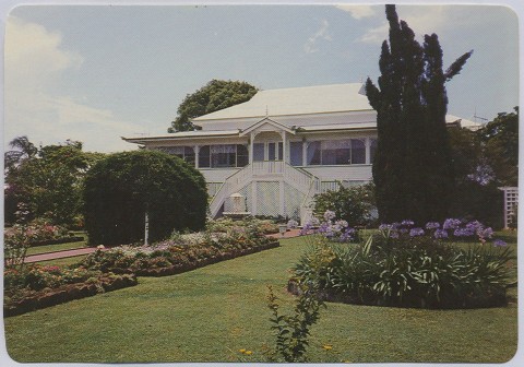
Near Kalkie's border with Bundaberg East there is a housing area, St Luke's Anglican College (1994) and an Anglican aged care facility. An inter-denominational Bundaberg Christian College (1996) is in Ashfield.
Kalkie's census populations have been:
| Census Date | Population |
|---|---|
| 1911 | 419 |
| 1947 | 465 |
| 2006 | 2072 |
| 2011 | 2410 |
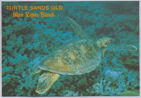
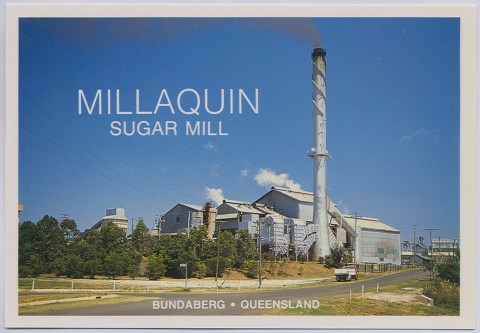
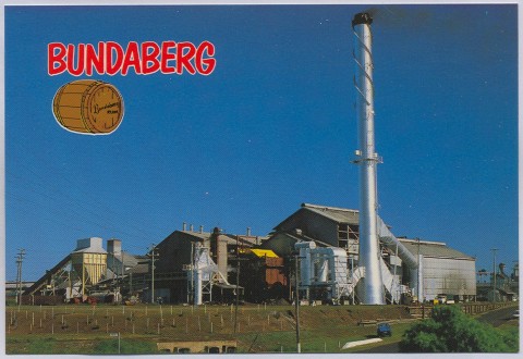
Qunaba is between Kalkie and coastal Bargara and adjoins the locality of Mon Repos. It was formerly part of the fertile Woongarra Scrub, and its cane growers supplied the Mon Repos juice mill (1884). By the end of the 1880s the large Millaquin mill in East Bundaberg was alarmed at Mon Repos' success in taking increasing amounts of cane, and combined with the Queensland National Bank (QNB) to buy it out. The first two letters of QNB's name supplied the name of the newly acquired mill, QU-NA-BA. (The QNB's Bundaberg headquarters at the corner of Quay and Targo Streets were named Qunaba House.)
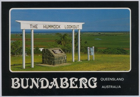
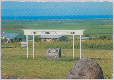
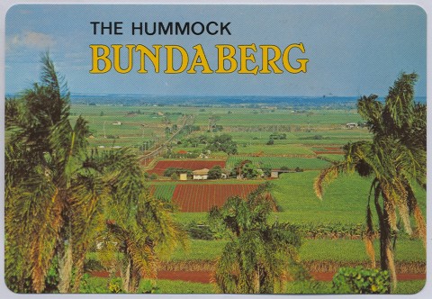
There were several other juice mills (mostly short-lived) in the Qunaba area, including The Hummock mill (1883-93). It was named after a volcanic plug, the most elevated point east of Bundaberg, which was the source of the Woongarra Scrub's rich volcanic soil.
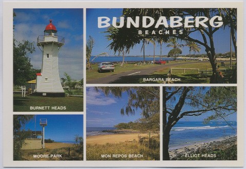
The Mon Repos/Qunaba mill continued until 1985, its concluding years being hampered by having Millaquin's hand-me-down equipment forced on it. In 1912 a railway line (1894) from Bundaberg to the Millaquin sugar refinery was extended eastwards, serving the Qunaba and Windermere sugar mills and the Sandhills seaside resort, later named Bargara. It was cut back to Qunaba in 1948, and 11 years later to Bunda Street, East Bundaberg, just beyond the refinery.
The Qunaba census area is a small one, drawn around a housing estate on The Hummock. There are also a lookout and a reservoir. Qunaba's census populations have been:
| Census Date | Population |
|---|---|
| 1911 | 58 |
| 1947 | 69 |
| 1961 | 134 |
| 2006 | 503 |
| 2011 | 822 |
Woongarra is south of Kalkie and Qunaba, and east of Bundaberg's outer southern suburbs. It was named after the Woongarra pastoral run (1863), that name apparently deriving from an Aboriginal expression describing the Woongarra Scrub.
The present locality is south of The Hummock and the band of country where most of the first juice mills were constructed. It nevertheless shares The Hummock's volcanic soil. Woongarra primary school opened in 1879. Woongarra's census populations have been:
| Census Date | Population |
|---|---|
| 1911 | 185 |
| 1961 | 125 |
| 2006 | 587 |
| 2011 | 681 |
Woongarra's adjoining locality, Windermere have census populations of:
| census date | population |
|---|---|
| 2006 | 402 |
| 2011 | 681 |
'Irrigation at Bundaberg', Queensland Agricultural Journal, June 1903, p. 373