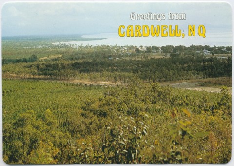
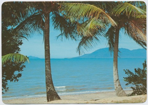
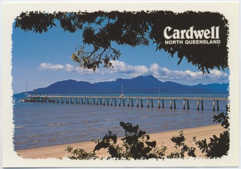
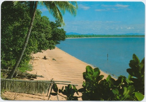
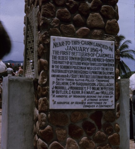
Cardwell, a coastal town on Rockingham Bay, is about midway between Townsville and Cairns. When proclaimed as a town in 1864 it was a remote and isolated site chosen as a port for transporting livestock from an emerging inland pastoral industry. Cardwell was the administrative seat of the former Cardwell Shire.
The choice of Cardwell can be traced to Ludwig Leichhardt's overland expedition from Brisbane to Darwin in 1845. Travelling north-west, on 4 May Leichardt came upon a valley with large lagoons, about 110 km directly west of Ingham. He described the surrounding country as an open well grassed tableland. His account ended: 'Finer stations for the squatter cannot exist'.
In 1859 southern pastoralists engaged George Dalrymple to reconnoitre the area. Suitably impressed, Dalrymple decided to apply for the Valley of Lagoons district for himself. During that time Queensland was granted self government and the application went into limbo, but Dalrymple continued to agitate for northern settlement. By 1863 he had taken up the Valley of Lagoons for sheep and cattle grazing. Meanwhile, Governor Bowen commissioned a survey of the Rockingham Bay area to select a site for a port to service Dalrymple and others' nascent inland grazing operations. The following year Dalrymple organised settlement of the chosen site and in a short time blazed a track between the new port settlement the Valley of Lagoons. Bowen named the new settlement Cardwell, after Edward Cardwell, Secretary of State for Colonies, and officially declared the Port of Hinchinbrook in 1864.
Despite Dalrymple's and the government's enthusiasm for Cardwell, it was soon overtaken by Townsville (also founded 1864). Townsville's advantage was its accessibility from the interior, free of the steep coastal range and dense jungle-covered hills surrounding Cardwell. Cardwell then entered upon a long period of stasis.
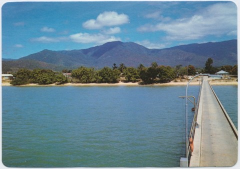
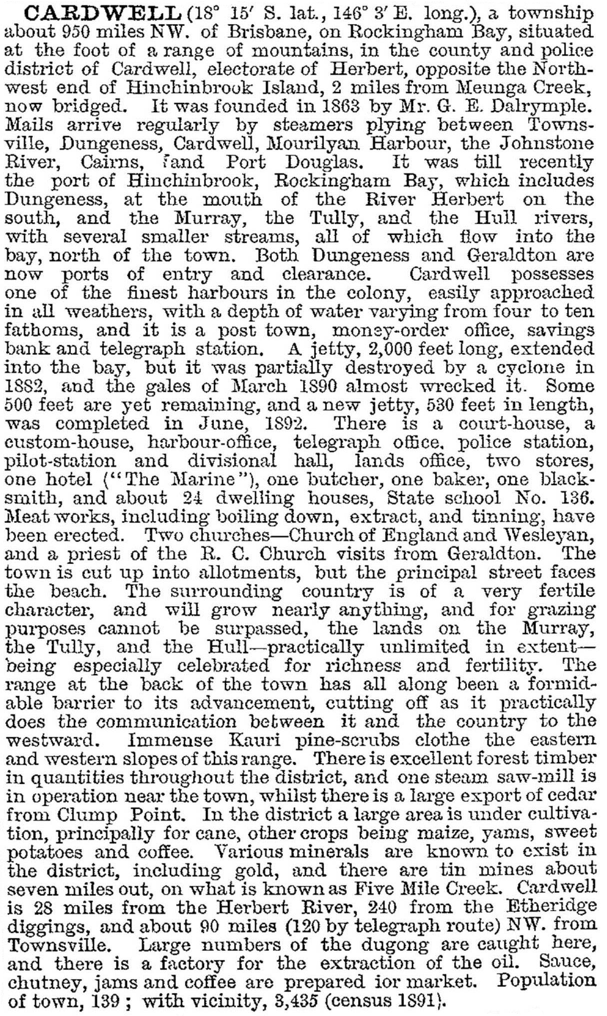
Local government was instituted in the Cardwell region in 1879, covering an unworkably large area. In 1884 a separate Cardwell division was proclaimed, smaller but still administratively cumbersome – board members still faced considerable travel from the Valley of Lagoons to Cardwell meetings (see Cardwell Shire entry). A jetty had been completed in 1875; however, use was limited to high tides only, due to the extensive shallows in the bay. This limitation didn't deter the author of the Cardwell entry in the 1893 Australian handbook, who described Rockingham Bay most enthusiastically:


The dugong oil factory was joined by a meat works in 1895, but disaster – other than cyclonic – soon struck the local beef industry: cattle herds were found to be tick infested. This had calamitous effects, and many settlers did not recover. The survivors battled on, diversifying into pigs and cropping.
Given the tick devastation it was unsurprising that an ailing Townsville journalist found Dunk Island, offshore from Mission Beach, largely was his for the taking: E.J. Banfield moved there in 1897 and, documented the life of the island in a series of writings.
Cardwell was described in the 1903 Australian handbook:
The Cardwell harbour's shallows curbed development. The only solution appeared to be a new jetty off Oyster Point, 3 km southwards, with a connecting tramline. Chinese banana growers were a possible source of freight, but the emergence of the Tully sugar-growing district after 1910 again put Cardwell in the shade. By the early 1930s Tully's population exceeded 2000 people, while Cardwell's was only about 270. Cardwell did, however, have a railway station on the north coast line to Cairns (1924).
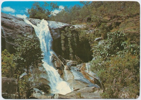
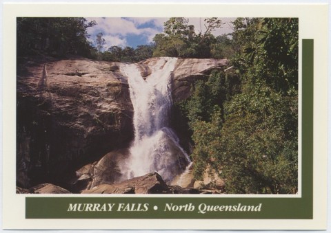
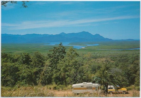
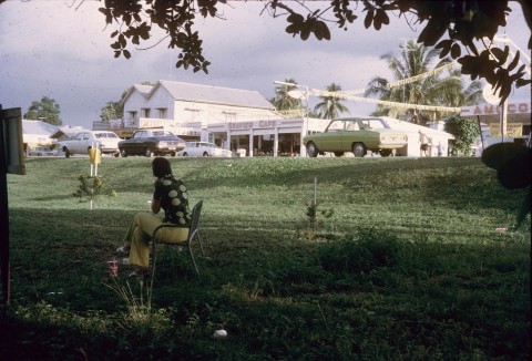
Cardwell's postwar population grew by a couple of hundred people by 1970, and more than doubled during the following 30 years. The growth coincided with the establishment of national parks and a burgeoning eco tourism industry. The Edmund Kennedy National Park (a wetland) is 4 km north of Cardwell and the Hull River National Park is east of Tully. Hinchinbrook Island is a 39,000 ha national park with rainforest and mangrove swamps.
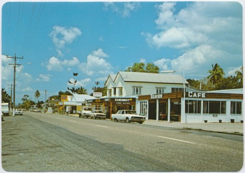
Cardwell has numerous hotels and holiday units, golf and bowling facilities, a swimming pool (essential in ocean-stinger season), local shops, elderly persons' services and a primary school (1870). About 1 km south of Cardwell there is the Port Hinchinbrook resort and marina, with travel connections to the Orchid Beach resort at the north of Hinchinbrook Island. There are also houses, duplexes and apartments, and impending retail development. Port Hinchinbrook encountered considerable local opposition, but real estate promoters predicted in 2008 that Cardwell could become to Townsville what Noosa is to Brisbane or, put another way, would be to its nearby islands what Airlie Beach is to the Whitsundays.
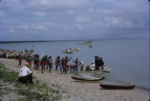
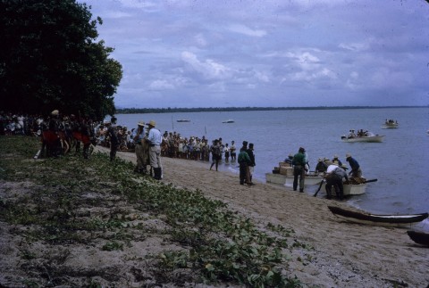
In 2009, the Federal Court recognised the Girramay people's native title rights over land in and around Cardwell. A ceremony to celebrate the handback was held in 2014.
CYCLONE YASI
On 3 February 2011 the Category 5 Cyclone Yasi crossed the Queensland coast, virtually centred on Cardwell and the nearby Port Hinchinbrook resort. Wind gusts of 290 km/hour were recorded. Many residents had been evacuated, but nothing was heard from Cardwell for several hours, unlike Tully and Mission Beach. The cyclone devastated Cardwell. Seventy vessels from Port Hinchinbrook were smashed as the sea rose two to four metres above its normal level. Over a quarter of Cardwell’s houses and recently built apartments were damaged or destroyed.
Two years later, a 5 km foreshore redevelopment was completed, including replacing the Dunk Island and Clump Point jetties, and incorporating playgrounds, barbecues, amphitheatres and gym equipment.
In the wake of Cyclone Yasi, the Cardwell and District Community Futures Forum developed a 15-year strategic action plan (2014) to help protect the coastal community from an economic downturn in the event of further natural disasters. The plan included a proposal to develop land west of the town including the opening up of the Kirrama Range Road and further development on the town's outskirts.
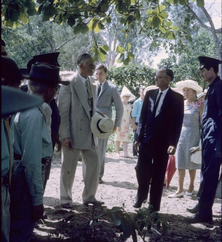
The Divisional Board Hall (1892), and a World War I honour board situated inside, was added to the Queensland heritage register in 2013.
Cardwell's census populations have been:
| Census Date | Population |
|---|---|
| 1871 | 96 |
| 1911 | 150 |
| 1954 | 320 |
| 1971 | 589 |
| 1976 | 933 |
| 2001 | 11422 |
| 2006 | 21250 |
| 2011 | 1176 |
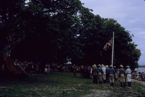
Centenary of Cardwell, 100 years, 1864 - 1964, Cardwell, Cardwell Shire Council and Cardwell Centenary Celebrations Committee, 1964
Dorothy Jones, Cardwell Shire story, Brisbane, Jacaranda Press for Cardwell Shire Council, 1961