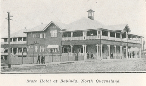
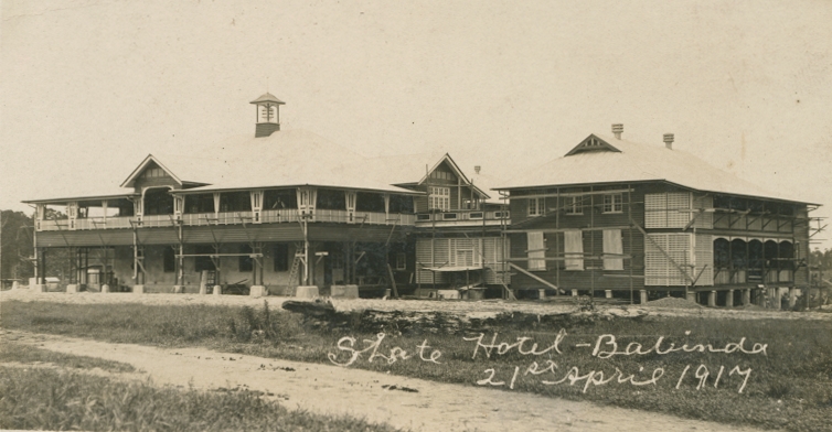
State Hotel at Babinda
Genre:
Headwords:
Year Created:
Contributor:
Publication Title:
Publication Place:
Taxonomy upgrade extras:
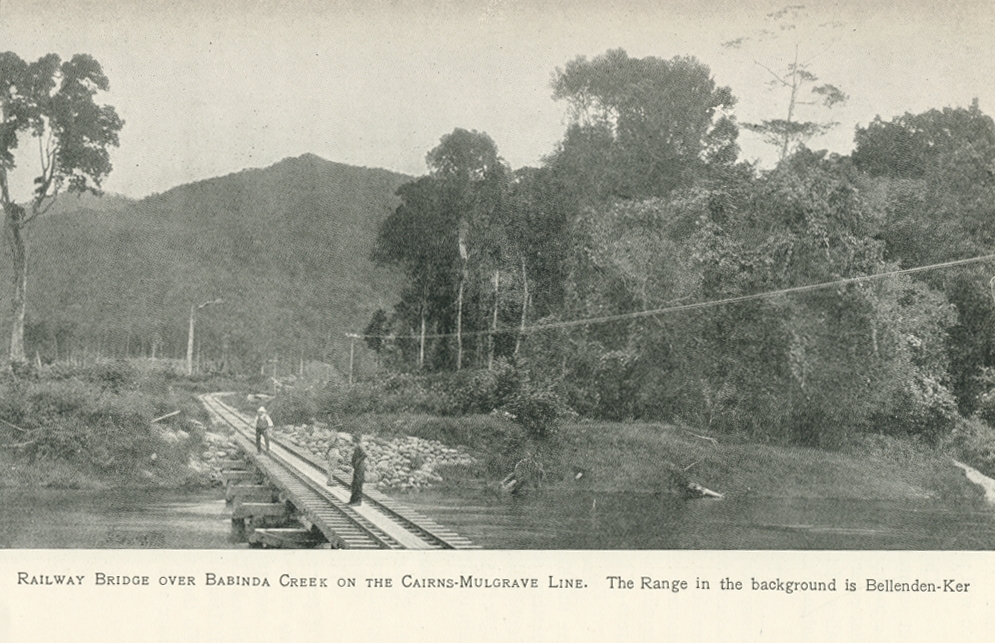
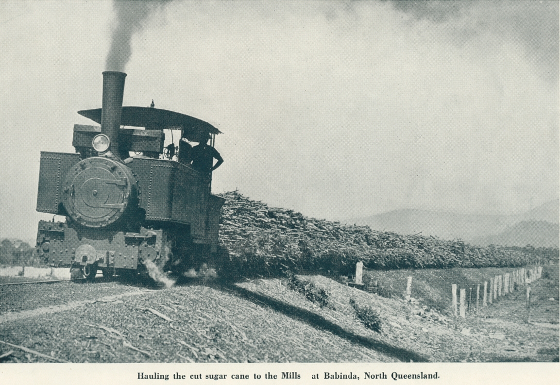
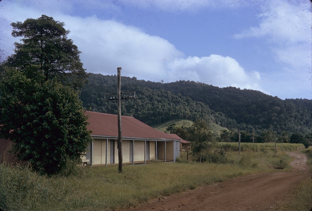
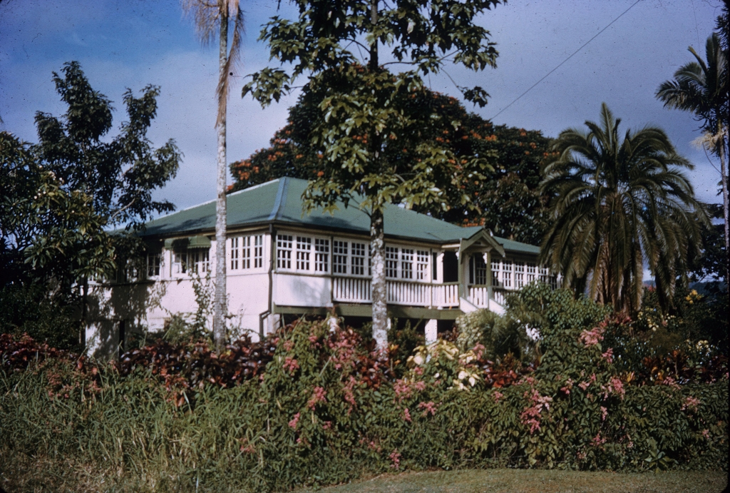
Babinda, a rural town, is 50 km south-east of Cairns and 10 km inland from the coast. It was named after the Babinda Creek, the name thought to have been derived from an Aboriginal expression referring to 'waterfall' or 'rain'. Either is plausible, as Babinda has a very high rainfall caught by the Bellenden Ker Range, in particular Mount Bartle Frere, Queensland's highest summit. Babinda lies between the coastal Graham Range and the inland Bellenden Ker Range to the west, and is in the Cairns Regional Council local government area.
The Mulgrave Shire, Cairns, McDonald & Sons, 1954
Babinda and Mulgrave Herald, 3 May 1979, pp 4-5.
'Babinda heritage study', Cairns City Council, 1999
Copyright © Centre for the Government of Queensland, 2018. All rights reserved.