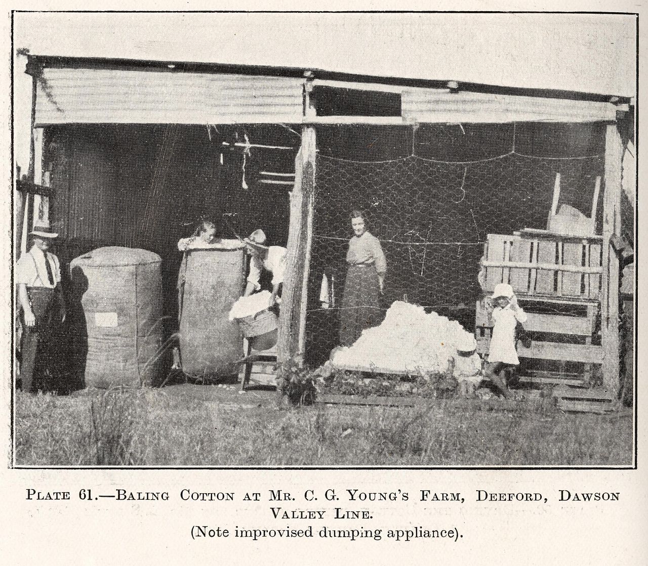
Baling cotton at Mr C.G. Young's farm, Deeford, Dawson Valley Line
Genre:
Headwords:
Year Created:
Contributor:
Publication Title:
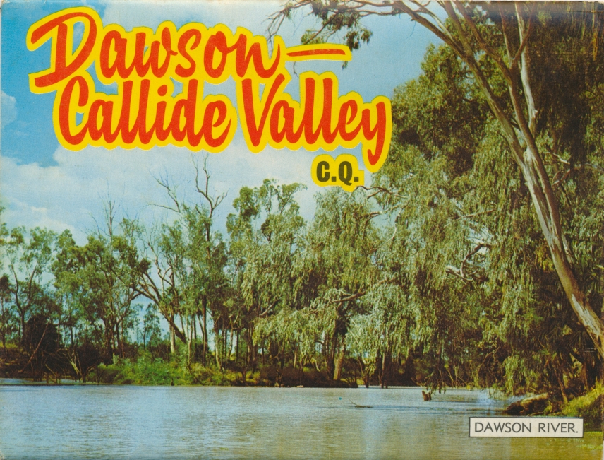
Dawson River
Genre:
Headwords:
Year Created:
Contributor:
Publisher:
Banana Shire
Banana Shire, an area of 28,577 sq km, is generally 130 km south-west of Gladstone. It includes the Callide and Dawson Valleys and their associated coalfields, together with about two-thirds of the former Taroom Shire which was added to it in 2008.
Pastoral occupation began in the 1850s, various runs including the Banana pastoral holding (1855). The holding was under Leith Hays who a couple of years before had the nearby Rannes holding. Hays used an old dun-coloured bullock named 'Banana' at Rannes to decoy wild cattle into a holding area.
Further Reading:
A century of local government in the Shire of Banana 1880-1980, Banana Shire Council, 1980
A souvenir of the first 50 years of closer settlement in the Callide Valley, Biloela, Banana Shire Council, 1974
G.R.H. Gill, Banana Shire handbook, Brisbane, Queensland Department of Primary Industries, 1972
Betty Perry, Two valleys - one destiny: a history of Banana, 'shire of opportunity', Biloela, Banana Shire Council, 2005
Baralaba, Biloela, Cracow, Moura, Taroom, Taroom Shire, Thangool, Theodore and Wowan entries
Headwords:
Copyright © Centre for the Government of Queensland, 2018. All rights reserved.
