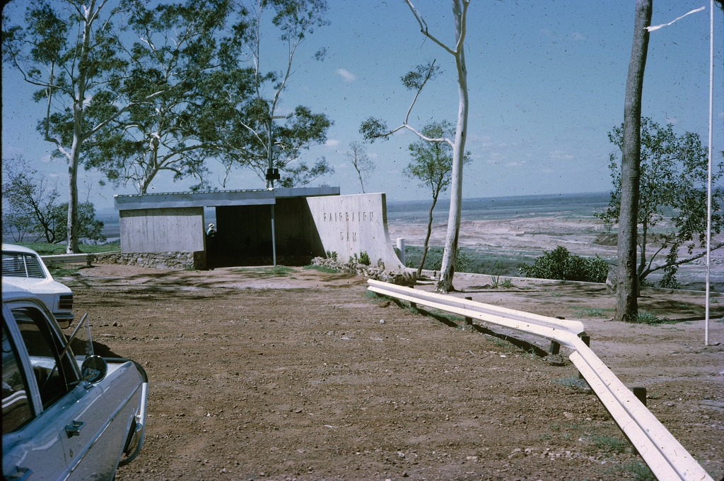
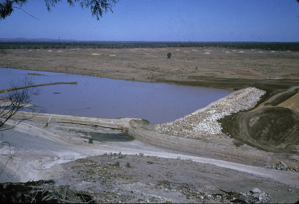
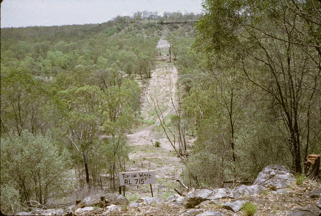
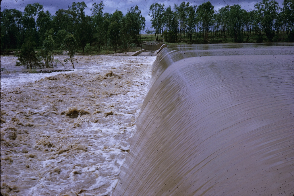
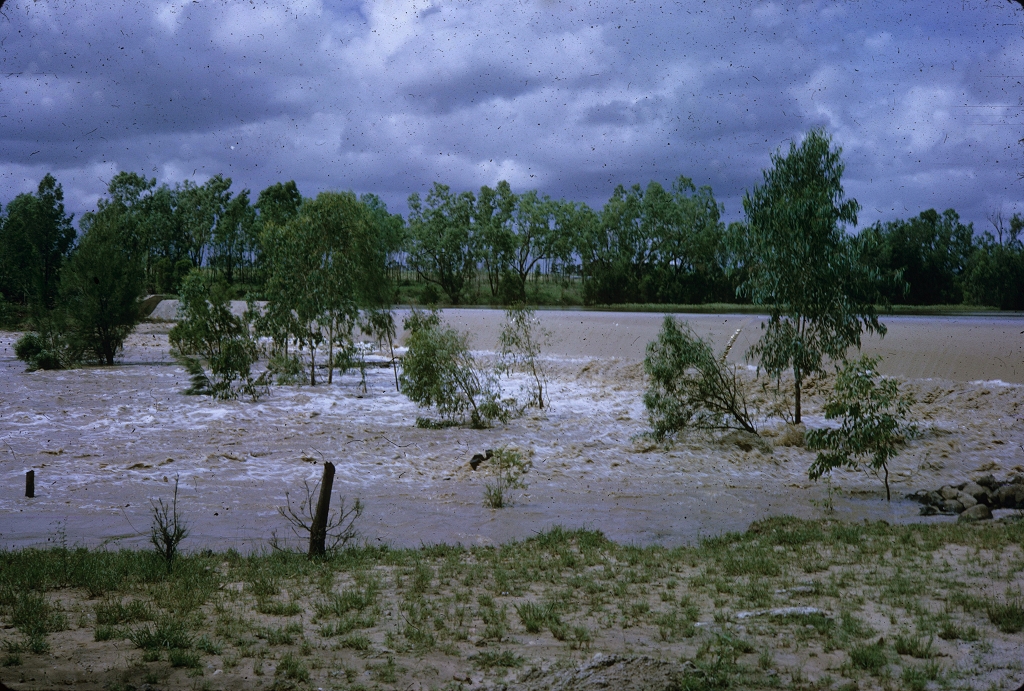
Emerald Shire
Emerald Shire, an area of 10,364 sq km, and generally 250 km west of Rockhampton, was amalgamated with three other shires in 2008 to form Central Highlands Regional Council. The shire and its administrative centre, Emerald, were named after the Emerald Downs pastoral station (1866). The township was surveyed in 1878, a year in anticipation of the westerly extension of the railway line from Rockhampton.
Further Reading:
Marie Reid, A history of Emerald: a place of importance, Rockhampton, Central Queensland University Press, 2001
John Rolfe, Emerald and the gemfields centenary 1879-1979, Emerald, Emerald Shire Council, 1980
C.C. Johnson, Emerald Shire handbook, Queensland Department of Primary Industries, 1972
Emerald, Rubyvale and Sapphire entries
Headwords:
- « first
- ‹ previous
- 1
- 2
- 3
- 4
Copyright © Centre for the Government of Queensland, 2018. All rights reserved.
