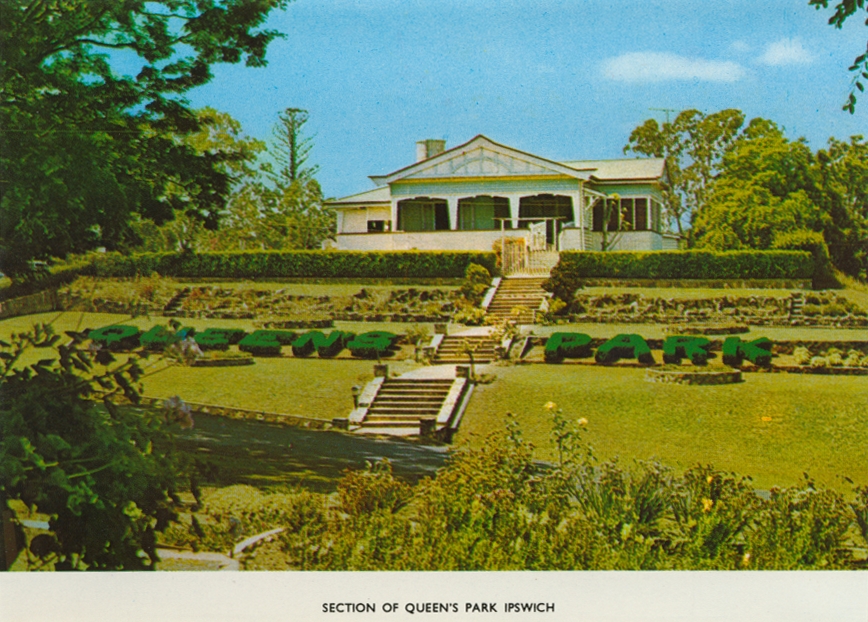
Section of Queen's Park, Ipswich
Genre:
Headwords:
Year Created:
Contributor:
Publisher:
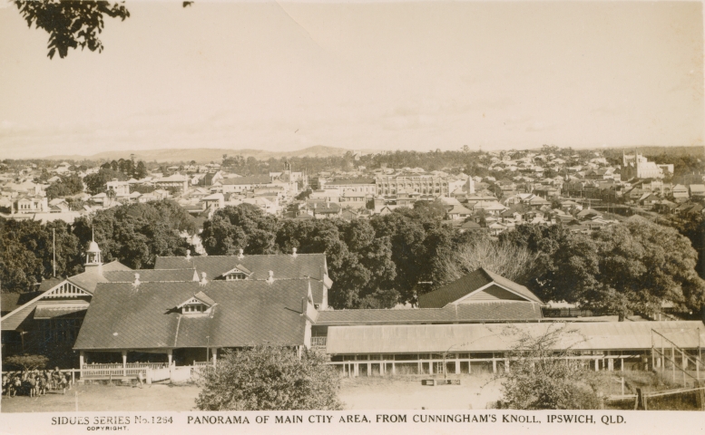
Ipswich, Queensland's oldest provincial city with a suburban and rural hinterland is 30 km south-west of central Brisbane, at the junction of the Brisbane, Lockyer and Fassifern valleys. It is also on the Bremer River, which passes through Ipswich’s southern and eastern suburbs, joining the Brisbane River at Riverview. The Bremer has numerous tributaries, including Mihi Creek (Brassal), Warrill Creek (Yamanto), Tivoli Creek (North Ipswich), Deebing Creek (Churchill) and Bundamba Creek (Booval).
Geo. Harrison, ed, Jubilee history of Ipswich: a record of municipal, industrial and social progress, Brisbane, H.J. Diddams, 1910
Ipswich: a townscape study for the National Estate, Brisbane, National Trust of Queensland, 1977
Leslie E. Slaughter, Ipswich municipal centenary, Brisbane, L.E. Slaughter for the Council of the City of Ipswich, 1960
Queensland Heritage Council website, Ipswich sites
City of Ipswich website, Ipswich History timeline
Robyn Buchanan, The Bremer River, Ipswich, Ipswich City Council, 2009
Margaret Cook, Top of town: Ipswich, Queensland, Ipswich, City of Ipswich, 2010
Amberley, Basin Pocket, Bellbird Park, Blackstone, Booval, Brassall, Brookwater, Camira, Carole Park, Coalfalls, Collingwood Park, Churchill, Chuwar, Dinmore, Eastern Heights, Ebbw Vale, East Ipswich, Flinders View, Gailes, Goodna, Grandchester, Harrisville, Karalee, Leichhardt, Marburg, Moreton Shire, Mutdapilly, Newtown, Normanby Shire, North Ipswich, Peak Crossing, Purga, Raceview, Redbank, Rosewood, Silkstone, Springfield, Thagoona, Tivoli, Walloon, West Ipswich, Woodend and Yamanto entries
Copyright © Centre for the Government of Queensland, 2018. All rights reserved.
