
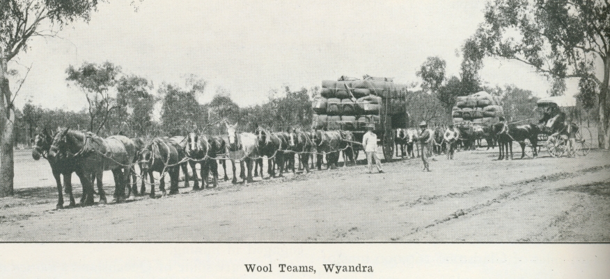
Wool teams, Wyandra
Genre:
Headwords:
Year Created:
Contributor:
Creator:
Publisher:
Publication Title:
Publication Place:
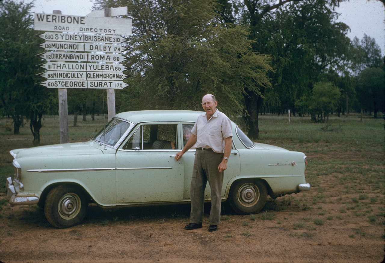
Paroo Shire
Paroo Shire, south-west Queensland, comprises an area of 47,647 sq km bisected southwards by the Warrego River. Its northern area was explored in 1846 by the New South Wales Surveyor-General, Thomas Mitchell, and in the following year Edmund Kennedy explored the lands adjoining the Warrego River. He reported on a fine waterhole on the river, which became the site of Cunnamulla (see separate entry).
The shire was named after the Paroo River, a south-flowing stream west of Cunnamulla, and it is thought that the river's name derived from an Aboriginal word describing small fish.
Further Reading:
T.W. Blake, Cunnamulla: a brief history of the Paroo Shire, Cunnamulla, Paroo Shire Council, 1979
F.M. Rothery, Atlas of Bundaleer Plains and Tatala, Canberra, Business Archives, Australian National University in association with Australian National University Press, 1970
Warrego and South West Queensland Historical Society, Cunnamulla and district: a history and other subjects, Cunnamulla, The Society, 1969
'In the south-western country', Queensland Agricultural Journal, May 1903, p. 295
Cunnamulla entry
Headwords:
Copyright © Centre for the Government of Queensland, 2018. All rights reserved.
