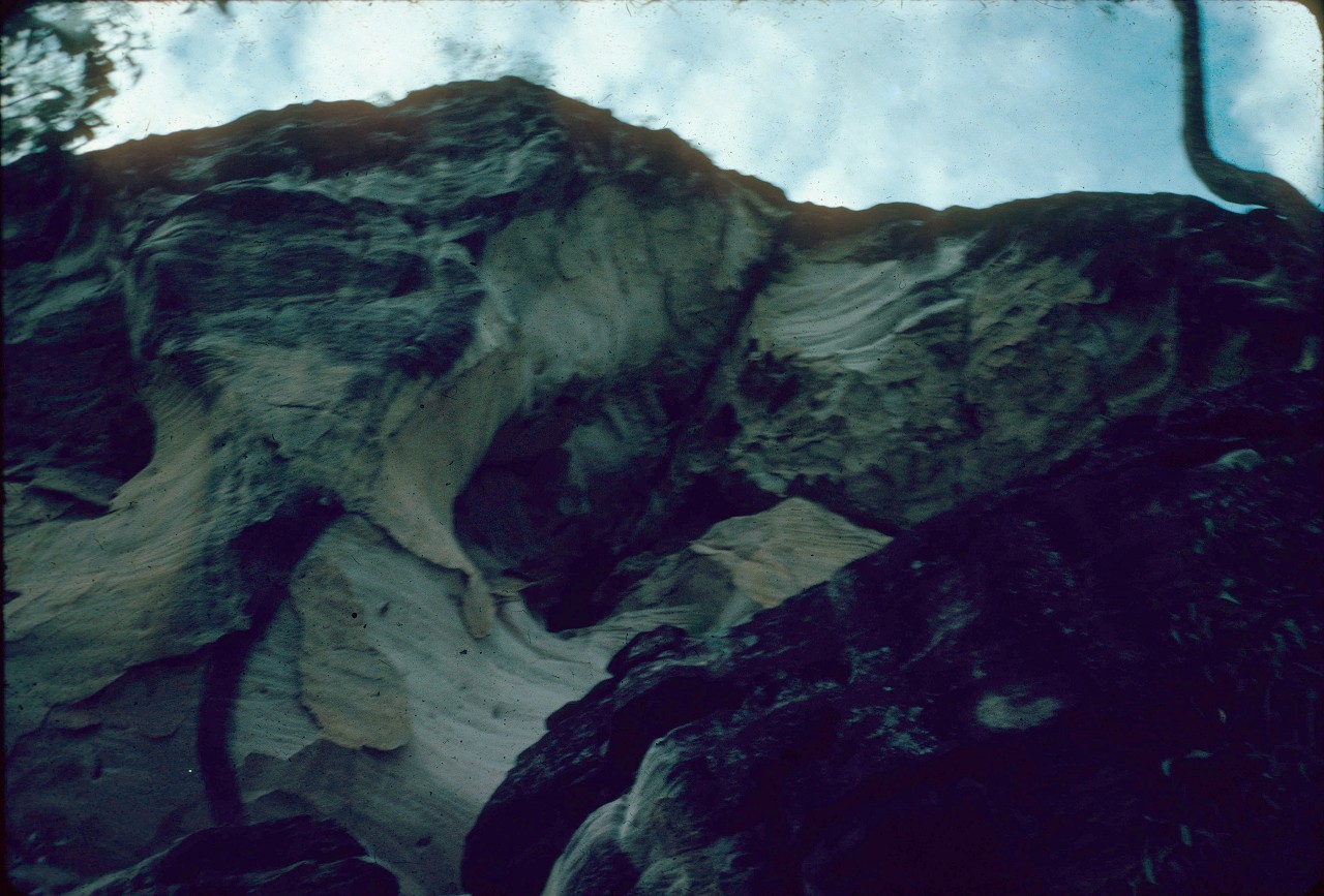
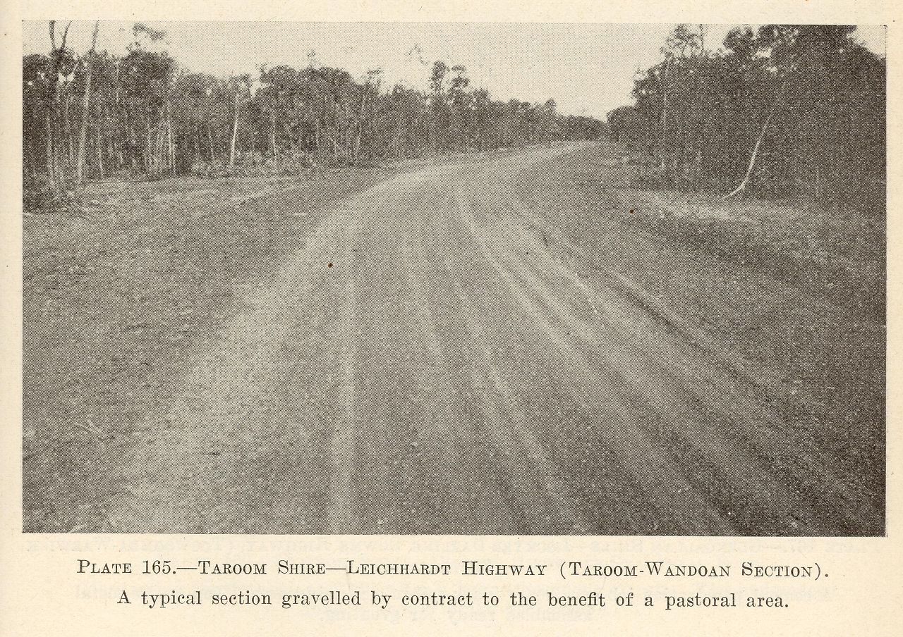
Taroom Shire
Genre:
Headwords:
Year Created:
Contributor:
Publication Title:
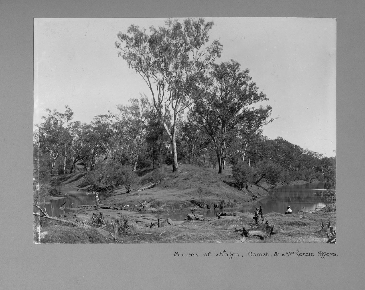
Source of Nogoa, Comet & McKenzie Rivers
Genre:
Headwords:
Year Created:
Contributor:
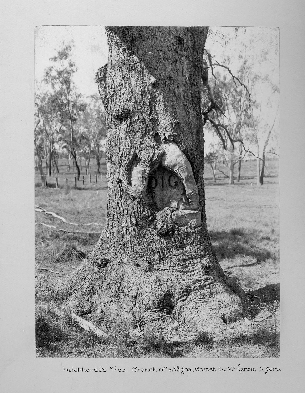
Leichhardt's tree, branch of the Nogoa, Comet & McKenzie Rivers
Genre:
Headwords:
Year Created:
Contributor:
Taroom Shire
Taroom Shire, an area of 18,758 sq km and generally 300 km west of Maryborough, was divided in two by the local government amalgamations in 2008. The northern two-thirds went into Banana Shire Council and the remainder into Dalby Regional Council.
The Shire was traversed by the north-south Leichhardt Highway. Ludwig Leichhardt explored the area in 1844, recording tributaries of the Dawson River which passes through the Taroom township. He noted wild lime trees (Eremocitrus glauca), and it is thought the name 'Taroom' derives from local Aborigines word for the limes.
Further Reading:
Judy Gale Rechner, Taroom Shire: pioneers, magic soil and sandstone gorges, Taroom, Taroom Shire Council, 2003
Taroom and Wandoan entries
Headwords:
- « first
- ‹ previous
- 1
- 2
- 3
- 4
Copyright © Centre for the Government of Queensland, 2018. All rights reserved.
