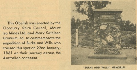
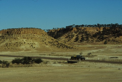
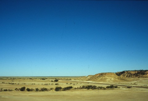
Cloncurry Shire, an area of 48,112 sq km, is near Mount Isa and generally 1000 km west of Mackay. It is named after the Cloncurry River, itself named by Robert Burke of the Burke and Wills expedition (1861) after his cousin, Lady Elizabeth Cloncurry of County Galway, Ireland.
Cloncurry began as a copper and gold mining settlement in the late 1860s. Several finds were made in the Selwyn Range, south of Cloncurry, spawning a few townships numbering upwards of 1000 people at the height of mining activity. As finds petered out, pastoralists replaced miners, their occupation fiercely resisted by the local Kalkadoon Aborigines in numerous skirmishes, climaxing in a murderous encounter at Battle Mountain in 1884. A plaque 20 km from Kajabbi (northwest of Cloncurry) memorialises the event. The bones of an estimated several hundred slain Aborigines littered the nearby hillside for decades.
From 1879 the Cloncurry district was under an enormous local government division administered at Normanton. In 1884 a Cloncurry division was created, still a vast area which extended beyond Mount Isa to the Northern Territory border.
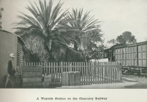
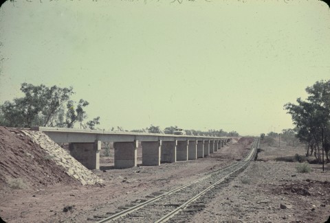
Increasingly, other mining towns in relatively close proximity to Cloncurry developed: Argylla (1880), west of Cloncurry, Hampden (1884) to the south and Duchess (1887) to the south-west. Mining boomed with the extension of the railway line to Cloncurry in 1907, and thereafter to Selwyn (1910) and Duchess (1912), and local settlements flourished; Kuridala, a mining town on the Selwyn line, had 2000 people by 1918.
In 1923 the Mount Isa copper lode was discovered, an event that spelt the end of Cloncurry's regional dominance, as Mount Isa grew to outstrip Cloncurry. While the other surrounding copper towns declined from the 1920s, Mount Isa progressed steadily. In 1944 Mount Isa purchased Cloncurry's derelict smelters, and in 1963 it was detached from the Cloncurry Shire, forming its own local government area.
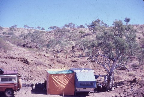
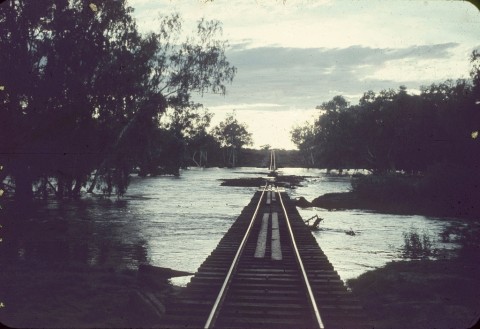
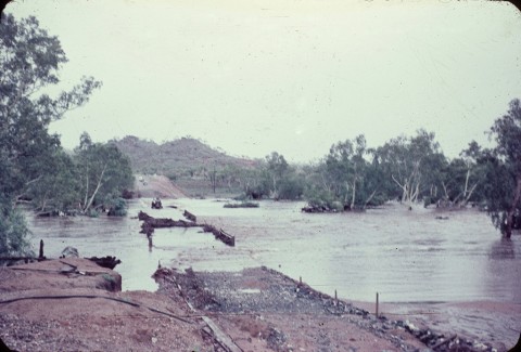
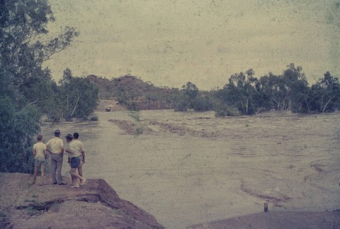
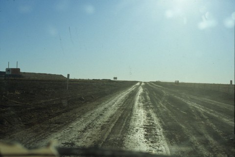
Annual rainfall in the north of Cloncurry shire is about double that in the south. Divided by the Selwyn Range watersheds, south-running streams empty toward Lake Eyre, while the better northern streams empty into the Gulf of Carpentaria. The permanent waterholes along the latter watercourses were important to the pastoral industry, which with the decline of mining assumed greater economic importance. World War II strengthened demand for wool and beef, and the wool boom in the postwar period delivered unprecedented prosperity. Local incomes since the 1970s were modest, however, tempered by general a decline in pastoral commodity prices.
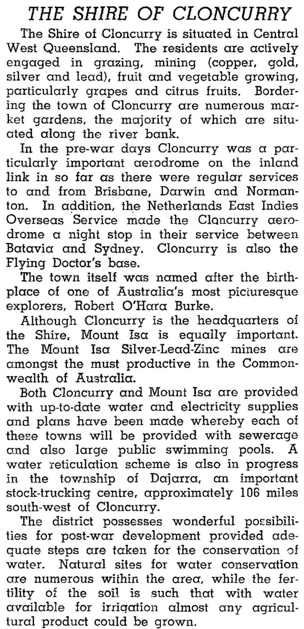
The 1946 Australian Blue Book described the shire (still with Mount Isa within its boundaries) as follows:
In 2001 employment in mining was about 500 persons, compared with 300 in agriculture. Modern open-cut operations were working at Ernest Henry, north-east of Cloncurry (copper gold), together with Mt Cuthbert (copper), Great Australian (copper) and Selwyn (copper, gold). The pastoral industry was dominated by beef production: in 1993 there were nearly 300,000 beef cattle and fewer than 10,000 sheep and lambs.
At the 2011 census, 223 people (13.3% of workers) were employed in the metal ore mining industry compared with 188 (11.2%) in sheep, beef cattle and grain farming.
Cloncurry Shire's census populations have been:
| Census Date | Population |
|---|---|
| 1911 | 2825 |
| 1921 | 4003 |
| 1954 | 10,514 |
| 1966 | 133,263 |
| 1986 | 33,194 |
| 2001 | 24828 |
| 2006 | 3138 |
| 2011 | 3229 |
2 Including an estimated 1100 visitors and tourists.
Cloncurry 100, 1867-1967, Cloncurry, Cloncurry Centenary Celebrations Committee, 1967
Perry Hardy, The Cloncurry Story, Cloncurry, Cloncurry Shire Council, 1984
T.J. Hall, Cloncurry Shire handbook, Department of Primary Industries, 1975
Cloncurry, Duchess, Kuridala, Mary Kathleen, Mount Cuthbert and Selwyn entries