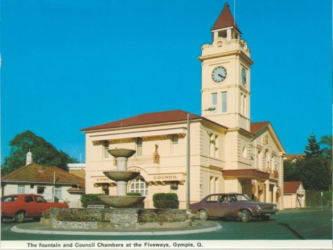
Cooloola Shire was formed in 1993 by the amalgamation of Widgee Shire and Gympie City, amounting to an area of 2967 sq km. The Widgee Shire's administrative centre had always been in Gympie and Gympie continued as the administrative centre. In 2008 Cooloola Shire was amalgamated with Kilkivan Shire and part of Tiaro Shire to form Gympie Regional Council.
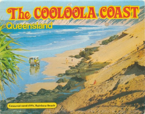
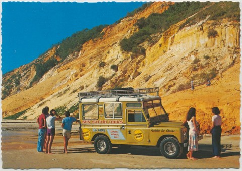
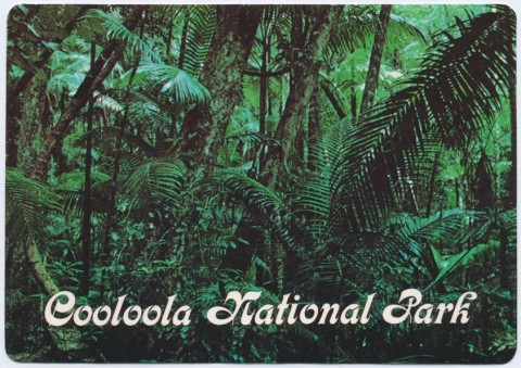
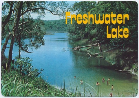
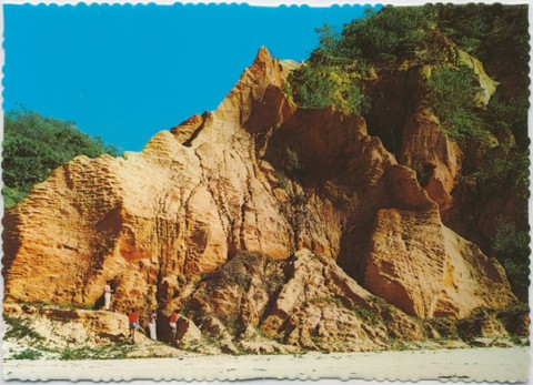
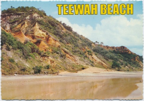
The name came from the Cooloola Coast (now the Great Sandy National Park), the name of which was derived from an Aboriginal word describing the cypress pine (callitris columellaris). The tree is often found behind the foredunes of the National Park's coast, on Fraser Island and on the banks of the Noosa River and Teewah Creek. An early adaptation of the name was the 'Kaloolah' timber railway, part of the Pettigrew interests for carrying timber out to Tin Can Bay in 1873.
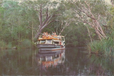
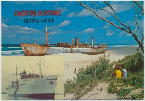
The Cooloola Coast underwent decades of logging, and in the 1960s-70s sand mining concerns operated along its beaches. Environmental concern about impacts on the coast and Fraser Island led to a long-standing protest movement. The sand mining did, however, enable the development of Rainbow Beach Township, and sea food harvesting and recreation fishing changed Tin Can Bay from a fishing village to a resort. Further south, Noosa and Tewantin rapidly grew as tourist centres.
The economic centre of the Widgee Shire has shifted away from Gympie and Mary Valley toward the Cooloola Coast. The name was well imprinted on the public mind after 30 years of protest, making it almost an inevitable choice for the combined Gympie/Widgee local government unit on its formation.
Despite the Fraser Coast's reputation for tourism, employment in Cooloola Shire in accommodation and hospitality only ranked eighth in 2001. The leading employment sectors were wholesale and retail (22% of total employment), manufacturing (13%), agriculture and forestry (13%) and health and community services (9%). Accommodation and hospitality had a 4.5 % share.
Cooloola Shire's census populations were:
| 1996 | 2001 | 2006 | |
|---|---|---|---|
| Gympie area | 15,147 | 15,170 | |
| Rural | 16,715 | 17,247 | |
| Combined | 31,862 | 32,417 | 36,067 |
Amamoor and Mary Valley entries