Cotswold Hills and Torrington are outlying suburbs of Toowoomba, north-west of the airport. The older settlement of Gowrie Junction is immediately west and north of Cotswold Hills. Both suburbs were in the former Jondaryan Shire, adjacent to its municipal boundary with Toowoomba City. They have been in Toowoomba Regional Council since 2008.
The origin of the suburbs' names is apparently unrecorded, but they were formally named in 2000.
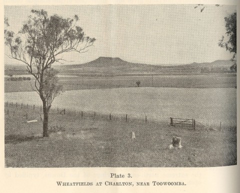
Cotswold Hills is rural/residential. It is north of the Warrego Highway, which separates it from Torrington. The eastern side of Torrington has a large industrial area and a district shopping centre on the Warrego Highway. Elsewhere there are rural/residential subdivisions. The local schools are Charlton (1898) and Wellcamp (1899). In 2013 the State government announced plans to close nine schools including Charlton State School.
Developers of the Harmony Glades estate in Cotswold Hills proposed to subdivide a 188-lot housing estate with blocks as small as 400 square metres in 2014.
The census populations were:
| Area | Population | |
|---|---|---|
| 2006 | 2011 | |
| Cotswold Hills | 1175 | 1211 |
| Torrington | *994 | 880 |