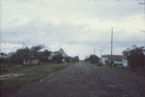
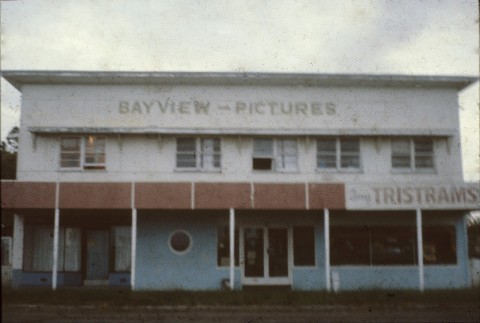
Cribb Island, last shown in a Brisbane street directory in 1981, was a bayside suburb 16 km north-east of central Brisbane. It was named after John George Cribb who purchased land there in 1863 for general farming purposes.
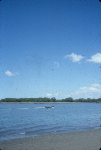
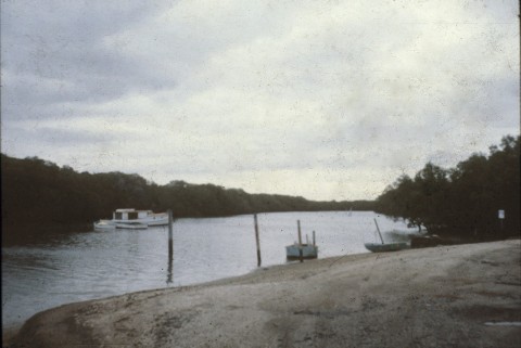
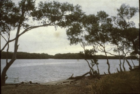
Whilst not a true island, Cribb Island was encircled by Jacksons and Serpentine Creeks, and consisted of two places of settlement separated by mangroves and mud flats. The part on Moreton Bay included the post office (1920) and a Methodist church; and the second part, separated by a mud flat (now Serpentine Creek Diversion) which was crossed by Cribb Island Road, had the primary school (1919) and camping and recreation reserves.
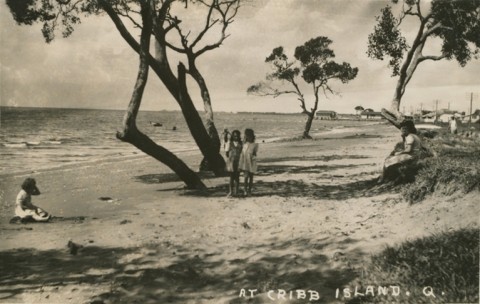
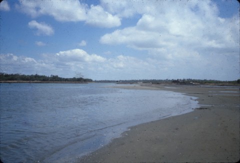
The population of Cribb Island in the 1920s was over 250, but it increased during the 1930s financial Depression because the Island offered cheap shelter and fishing in Moreton Bay and the estuaries. There was a beach, much like the one at Nudgee Beach on the other side of Jacksons Creek.
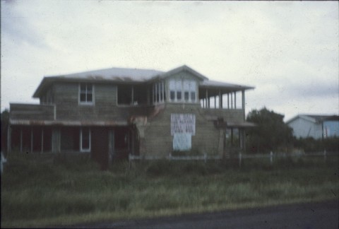
'Cribbies' and 'Cribby kids' were never well-off. The children of an English migrant family in the late 1950s sold soft drinks at the Redcliffe speedway between races, and promoted sales by a singing act. They were well received, and went on to become the Bee Gees: Barry Gibb graduated from the Cribb Island class of 1961.
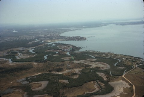
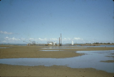
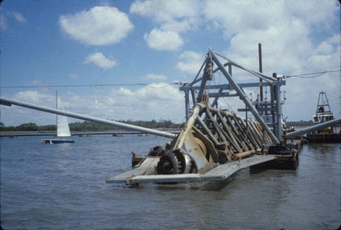
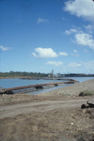
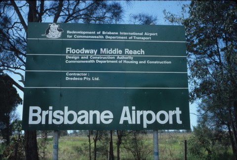
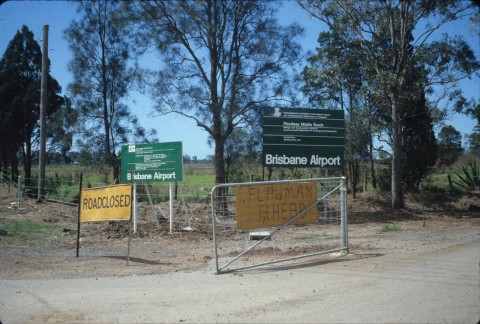
On the east side of Serpentine Creek the Brisbane City Council had a reserve for sewerage purposes, probably an indication of the esteem in which the locality was held. Use of the reserve for its designated purpose did not eventuate, as Cribb Island lay in the direction of the expansion of the Eagle Farm Airport. The Kedron Brook outfall into Serpentine Creek was straightened by the Schultz canal and a floodway, and the airport was extended to the north-east over reclaimed mud flats and the Cribb Island community. The last resident departed in April 1980.
Cribb Island's census populations were:
| Census Date | Population |
|---|---|
| 1921 | 264 |
| 1948 | 1170 |
| 1954 | 1311 |
| 1976 | 938 |