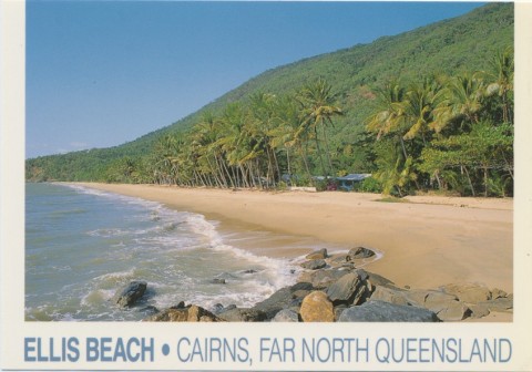
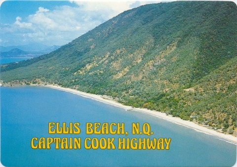
Douglas Shire, with an area of 2445 sq km, extended northwards along the coast from just beyond Ellis Beach (Cairns) for a distance of 100 km to Bloomfield River. In 2008 it was amalgamated with Cairns City to form Cairns Regional Council.
In March 2013 more than 57% of voters in the former Douglas Shire opted to leave the Cairns Regional Council in a de-amalgamation vote. From April 2013 transition committees and interim CEOs were in place in the Douglas Shire leading to elections in late 2013 and a separate Douglas Shire council from 1 January 2014.
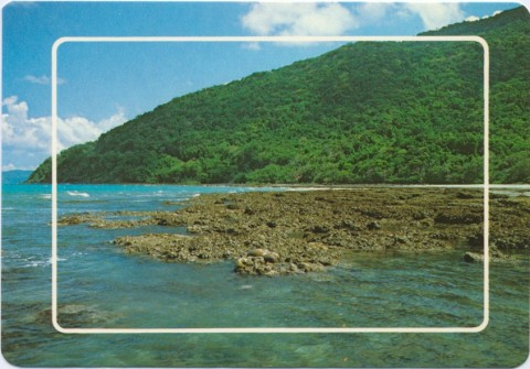
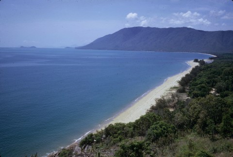
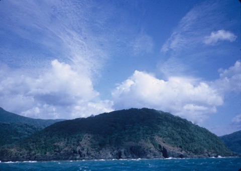
Port Douglas was surveyed and settled in 1877 as a shipping centre for inland mineral fields. The track over the range needed constant attention and the Port Douglas Roads Board was established in 1878. The following year it became the Douglas local government division, extending northwards to Cape Tribulation.
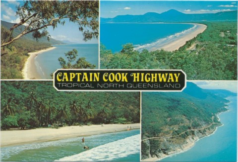
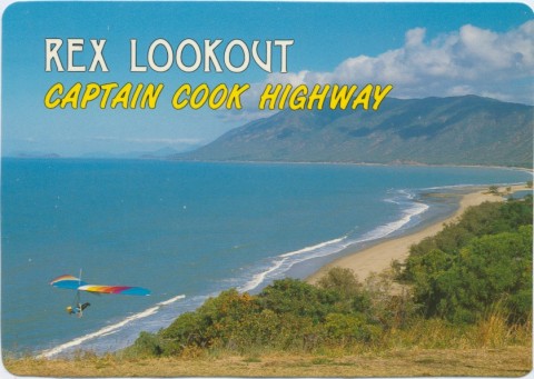
Apart from the port there were farm selections on the Mossman, Mowbray and Daintree Rivers. Farmers grew everyday food needs - vegetables, maize, citrus, dairying - and sugar. The first attempt at a local sugar mill failed after two seasons, but planning for a mill at Mossman in the mid-1890s was more soundly based. By 1911 the population of Mossman was more than double that of Port Douglas, the port town having lost to Cairns the contest for an inland railway. The Douglas Shire offices were moved from Port Douglas to Mossman in the 1920s, and the opening of the Cook Highway form Cairns to Mossman confirmed the latter's primary role in Douglas Shire.
Douglas Shire was described in 1946 in the Australian Blue Book:
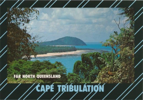
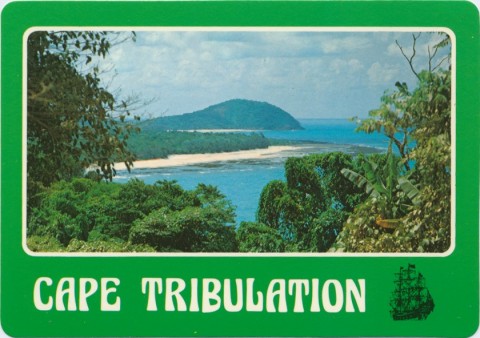
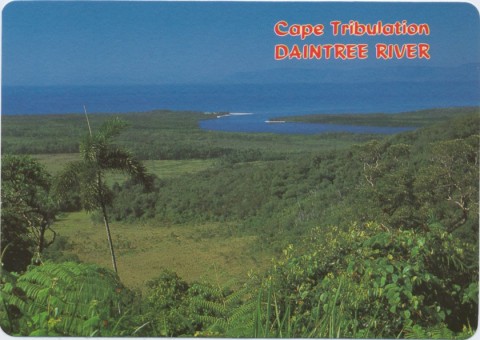
The Mossman central mill's annual crush reached 200,000 tonnes of cane in 1953, rising to over 600,000 tonnes by 1982. Expansion then ran into unexpected occurrences: the protection of tropical rainforest became an issue (Cape Tribulation National Park was gazetted in 1981), and the Shire Council and the Queensland Government allowed the subdivision of lowland space into about 1000 rural/residential blocks, holding out the prospect of purchasers having their own bit of rainforest. Both these events forced the mill to look further afield for new sugar cane tonnages, and Mareeba supplied most of that need.
The subdivision was but a hint of things to come in the 1980s, with the Reef Resort, Mirage Resort and associated golf courses. The weight of commercial activity moved decisively back to Port Douglas along with its dormitory residential area, Craiglie, once a horse-teamsters' stopping place. In 1988 the Cape Tribulation, Daintree and other national parks were granted World Heritage classification, which led to a complete ban on logging. Local sentiment moved in that direction, and in 1991 a former rainforest protestor was elected Mayor of Douglas Shire. In 1994 the shire persuaded the State and Federal governments to buy back the lowland subdivisions.
The investment in tourism and recreation brought about a vast change in the shire's employment profile.
| Employment sector | Employment (% of total) |
|
|---|---|---|
| 1976 | 2001 | |
| Agriculture, forestry, fishing | 29.6 | 6.0 |
| Manufacturing | 17.2 | 6.5 |
| Construction | 8.0 | 6.1 |
| Wholesale, retail | 10.8 | 13.8 |
| Accommodation, hospitality | 5.4 | 21.6 |
| Transport, storage | 6.9 | 8.6 |
| Property, business | 3.1 | 9.9 |
| Health, community services | 4.4 | 6.7 |
(Comparisons between years are indicative, classifications changed.)
The total numbers employed were 1773 (1976) and 6736 (2001).
The property sector did not limit its activities to Port Douglas and lowland rural/residential subdivisions. Coastal towns sprang up in the 1990s: Cooya Beach (544 persons, 2011), Newell (328, 2011) and Oak Beach (207, 2011). Cow Bay (309, 2011), achieved notoriety for the density of its For Sale signs.
The agricultural sector is mainly beef cattle and sugar, just over 9000 head and 709,000 tonnes of cane in 1993. Bananas, nearly 650 tonnes, were also grown. The change in the shire's industry profile has raised the median income level. In 2001 median income was $430, $71 above the Queensland median. The importance of tourism was shown in the 2001 population census: 17,887 people were counted, of whom 42% were estimated to be non-resident.
The shire's resident census populations were:
| Census Date | Population |
|---|---|
| 1911 | 1423 |
| 1933 | 2901 |
| 1971 | 4072 |
| 1981 | 5957 |
| 1986 | 7750 |
| 1991 | 12,440 |
| 2006 | 10,193 |
| 2011 | with Cairns Regional Council |
Keith and Valda Prince, Early days of the Douglas Shire, Cairns, Prince Photographics, 1977
Lloyd Nielsen, Daintree: jewel of tropical north Queensland, Mount Molloy, Lloyd Nielsen, 1997
Pam Burden, Port's people: locals' stories of Port Douglas from 'sleepy fishing village' to 5-star resort, Port Douglas, Port Douglas Historical Society, 2005
Pam Willis Burden, Remembering the Douglas Shire, Mossman, Douglas Shire Council, 2008 (includes Early days of the Douglas Shire by Keith and Valda Prince, 1977)
Cooya Beach, Craiglie, Mossman, Port Douglas and Wonga Beach entries