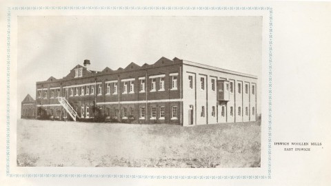
East Ipswich, on the Brisbane to Ipswich railway line, was originally named Limestone (1879). In 1891 the railway station was named East Ipswich. Its historic thoroughfare, Chermside Road, runs north from Limestone Hill and Ipswich Girl's Grammar School.
Predominantly a residential area, East Ipswich extends south from the Bremer River to Brisbane Road; in the recent past it ran further south to Glebe Road, but that part has been added to Newtown. Chermside Road, west of the railway station has a sports reserve and local shops. The reserve has the Cribb and Foote memorial gates, marking the entry to land donated by that firm, the proprietors of Ipswich's leading department store. The reserve is the headquarters for men's hockey, and also includes a playground funded from the sale of a war-memorial hall in Basin Pocket. Along Chermside Road there are several late nineteenth and early twentieth century houses, including a large timber dwelling at number 100 built for Albert Foote.
York Street, running east from Chermside Road, is a richer residential precinct, with Kyeewa (c1890), a grand sandstone dwelling on the highest site at 1 York Street. It is listed on the state and Australian heritage registers. Opposite is Merton, built in the 1870s.
Somewhat late in the suburb's history, East Ipswich primary school was opened in 1958.
Floods 2011
In January 2011 waters from the Bremer River not only went beyond the areas not built-up, but invaded areas south of Jacaranda Street where indicated by two short tributary streams.
East Ipswich's census populations have been:
| census date | population |
|---|---|
| 2006 | 2412 |
| 2011 | 2194 |