Emerald, a rural town, is 240 km west of Rockhampton at the junction of the Capricorn and Gregory Highways. It grew very rapidly in the 1980s and 1990s as a dormitory town for major new coal mines in the Bowen Basin. The Emerald district was traversed by Ludwig Leichhardt in 1844-45 and in 1861 a former gold prospector, Peter MacDonald, took up the first of several pastoral runs around Emerald. He is generally considered to be the first permanent white settler. In 1866 MacDonald consolidated his runs into the Emerald Downs station, which became the source of the district's name.
RAILWAYS
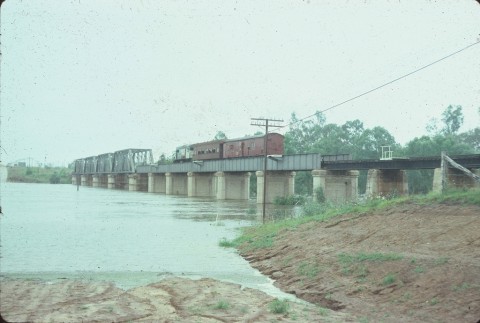
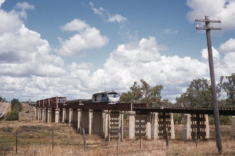
Rockhampton, over 200 km away, set out on its own in 1867 with the first stage of its Central Queensland railway. By 1877 the line reached Blackwater and, in anticipation of a further extension west, the town of Emerald was surveyed in 1878, laid out on the west side of the Nogoa River because the Emerald Downs postal stop was already there. Although Emerald remained a terminus for only a year it became a transport hub for freight to and from Clermont (northwards) and Springsure (southwards). The pattern was consolidated when branch lines from Emerald were opened to Clermont (1884) and Springsure (1887). During the construction years Emerald's population peaked but then subsided, not regaining its former level until the late 1890s. The 'construction camp' factor partly explains how church buildings and a school of arts were not constructed until the 1890s, but a school and a progress association (1879) could not be denied.
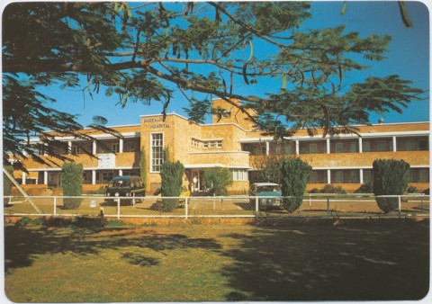
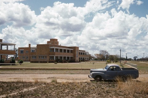
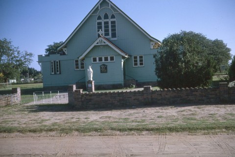
By the turn of the century Emerald had two churches (Presbyterian and Methodist), visiting clergy for other faiths, the Emerald Star newspaper (1899) and an agricultural and horticultural society (1900). The town made do with the railway doctor and other itinerant medical services until a cottage hospital was opened in 1907. A larger facility was built in 1913 and a maternity block added in 1925.
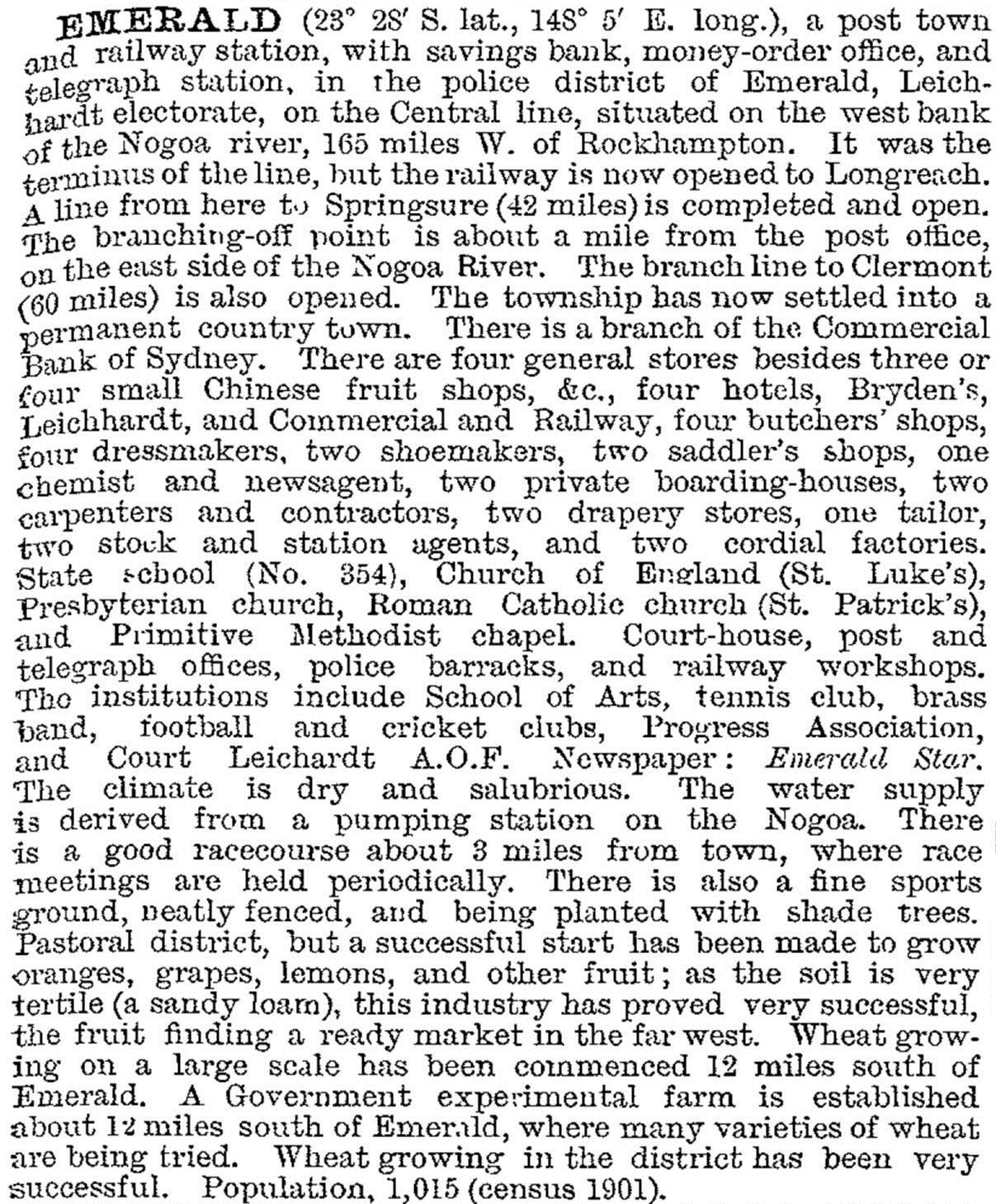
In 1903 Emerald was described in the Australian handbook:
With a population of 1000 people, a Catholic primary school opened in 1902. The State primary school had a short-lived secondary department (1919-21), and further educational initiatives awaited the 1950s.
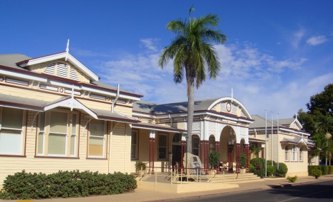
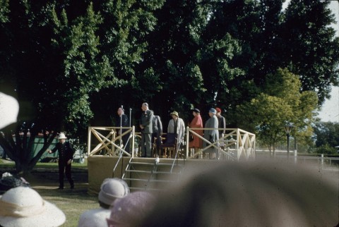
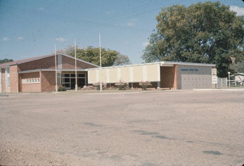
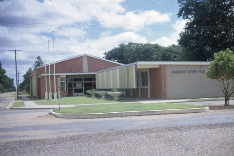
The Emerald divisional board (1902) and shire (1903) had its administrative centre in Emerald. The shire prevaricated over 'improving projects', concentrating its limited resources on roads. A town water supply, talked about in 1902, finally opened in 1931; adequate Council offices, mentioned in 1913, came to pass in 1957 when postwar farm prices provided the wherewithal. Private interests hesitated less, opening a cinema in 1917. By the early postwar years optimism was in the air with the prospect of an Emerald irrigation scheme and the Queensland British Food Corporation (not without some controversy) began a farm development scheme. The Corporation's scheme failed, but the Selma Weir on the Nogoa River (1953) marked the beginning of irrigation works that transformed the farm economy and expanded the Emerald township. Large coal mining ventures (1970s-80s) used Emerald as their dormitory township. (These topics are further discussed under Emerald Shire.) The town's population more than tripled between 1976 and 1996 to over 9000 people, and Emerald North State primary school was opened in 1980. A third state primary school, south of the town centre and railway line, opened in 1997.
A LONG WAIT FOR EDUCATION
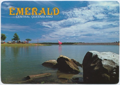
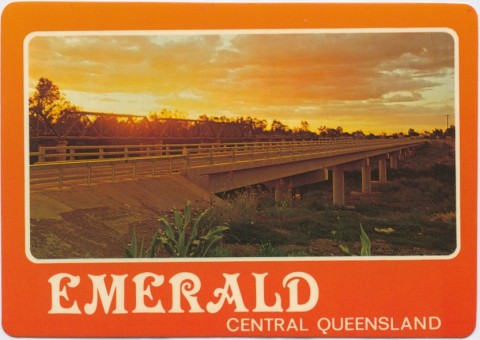
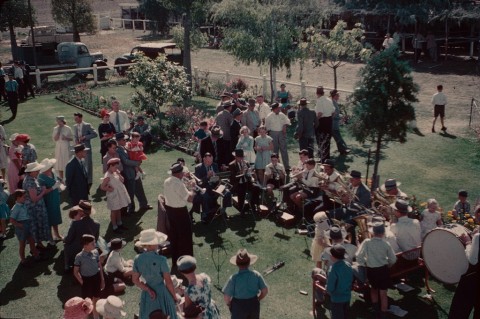
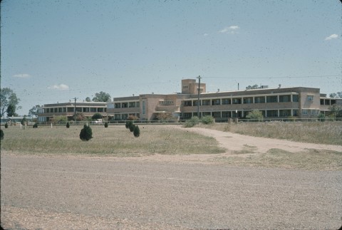
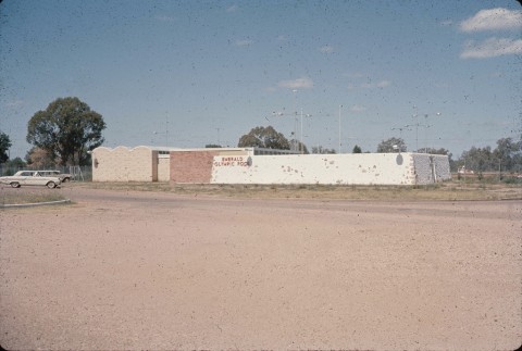
Emerald finally got a State high school in 1969 and a pastoral/agricultural college opened in 1971. During the period 1985-96 a TAFE, a Central Queensland University campus, a distance education school and a Catholic secondary college were added. The descendent of the Emerald Star, Central Queensland News, became the region's main newspaper. Outdoor recreation facilities included a swimming pool (1966), an improved golf course on the town side of the river (1986) and botanic gardens on both river banks at the Capricorn Highway Bridge (1988). Open space along the Nogoa River continues beyond the botanic gardens. The population growth during the 1970s and 1980s brought local manufacturing to Emerald, and cotton farming required a ginnery (1979) which was transported from Ord River, Western Australia.
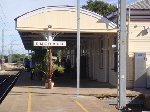
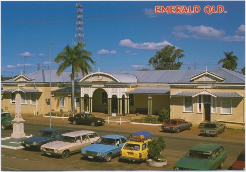
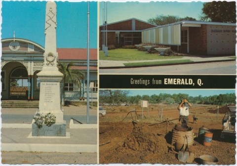
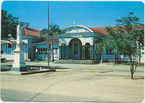
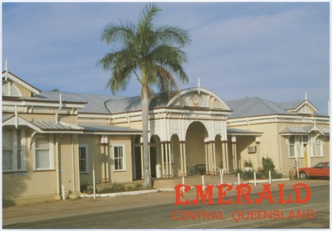
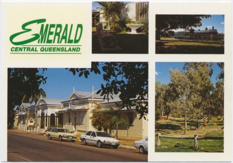
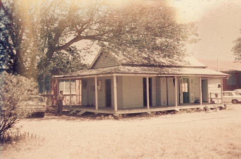
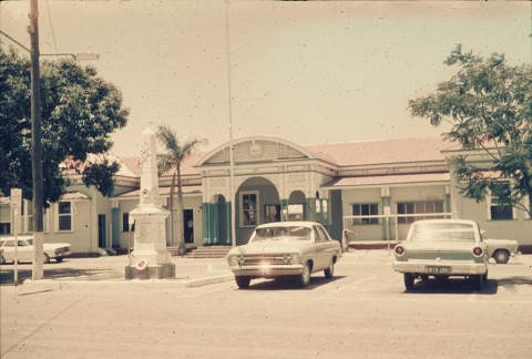
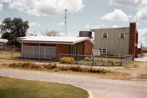
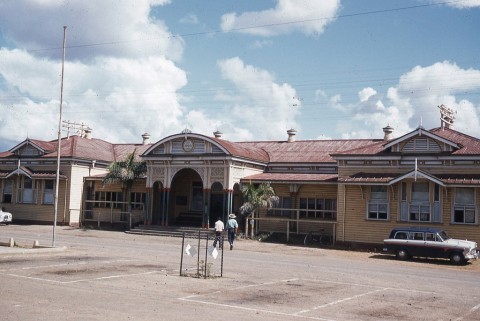
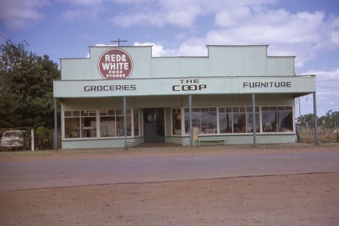
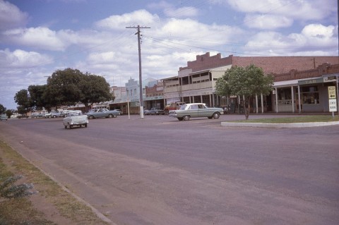
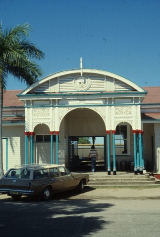
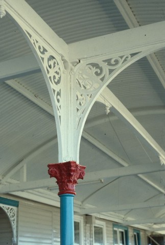
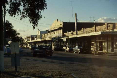
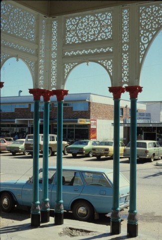
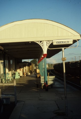
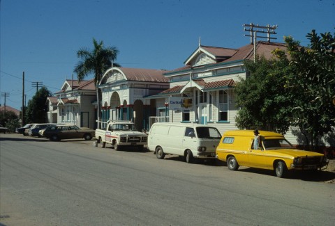
Emerald has been beset by the loss of several buildings from fires and the occasional flooding of the Nogoa River. A large part of the shopping strip was lost to fire in 1937 and the sole surviving spacious hotel, the Railway, was pulled down. Historic building stock is scarce, but the railway station (1900) is listed on the Australian heritage register. The open-air cinema was superseded by a twin complex, and a drive-in (1973-96) came and went with changes in patrons' preferences and the advent of video rental.
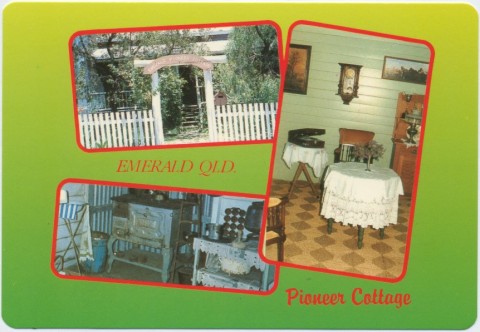
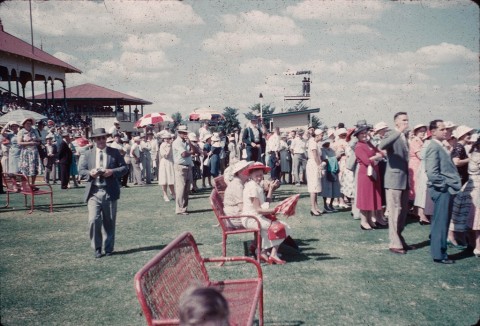
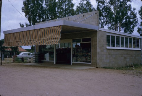
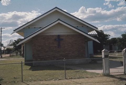
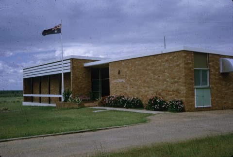
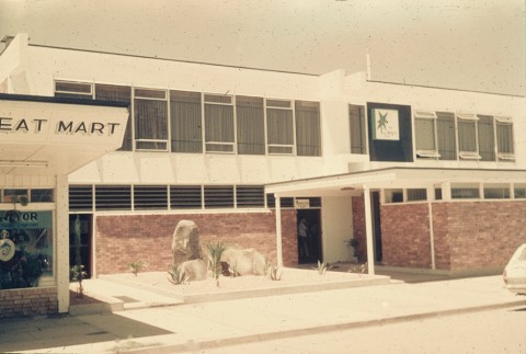
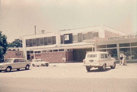
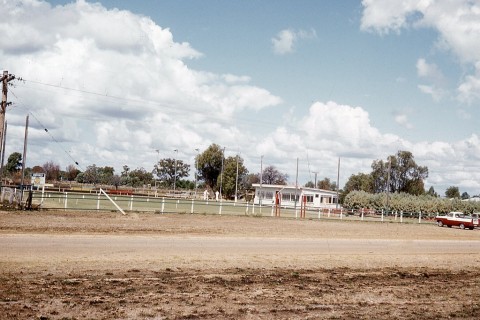
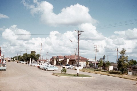
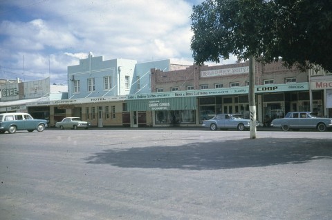
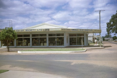
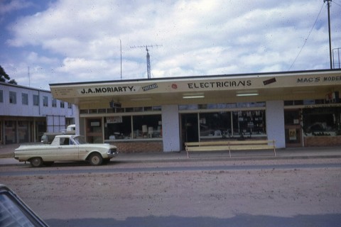
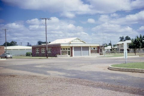
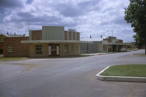
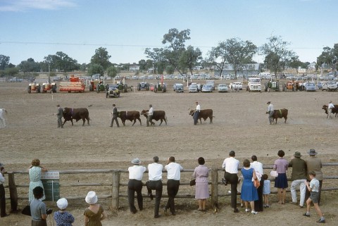
Emerald township had 71% of the shire's population in 2001. In addition to the facilities previously mentioned, Emerald has an airfield (1930, 1957), a racecourse, a showground and adjoining council saleyard, a hostel for school students, two drive-in shopping centres (supermarket and 25 shops; discount department store, supermarket and 22 shops), a pioneer museum complex, several recreational reserves, the council hall and offices, and eight churches. An art gallery and science centre are opposite the library.
FLOODS 2011
Heavy rain fall over the Nogoa River catchment in late December 2010 resulted in Emerald being encircled by floodwaters on New Year’s day 2011 when the river peaked at about 16 metres. The previous record was 15.36 metres in 2008, when the Fairbairn Dam had overflowed and over 2700 residents were evacuated. In 2010-11, 1200 were evacuated. The flood waters covered the racecourse, the showground, all the land in between west of the Gregory Highway, the golf course and the waste treatment plant. The botanic gardens were covered, but not the residential area to their south-east. The highly regarded Riverview Street, west of the gardens, shared the gardens’ watery fate, along with Blue Gums housing estate on the former caravan park.
A disability and palliative care centre (2013) was opened to supplement the hospital.
From 2014 courses at the Queensland Agricultural Training Colllege in Emerald were revitalised to become more relevant to local students.
Emerald, like other central Queensland towns, suffered from the social impacts of fly-in, fly-out (FIFO) mine workers.
Emerald's census populations have been:
| Census Date | Population |
|---|---|
| 1881 | 741 |
| 1891 | 406 |
| 1901 | 1015 |
| 1947 | 1336 |
| 1961 | 2029 |
| 1981 | 4628 |
| 1991 | 6557 |
| 2001 | 10,092 |
| 2006 | 10,999 |
| 2011 | 13,884 |
Marie Reid, A history of Emerald: a place of importance, Rockhampton, Central Queensland University Press, 2001
John Rolfe, Emerald and the gemfields centenary 1879-1979, Emerald, Emerald Shire Council, 1980
Bowen Basin and Emerald Shire entries