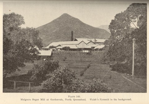
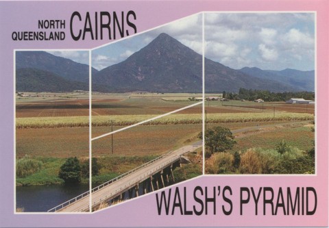
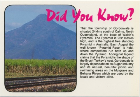
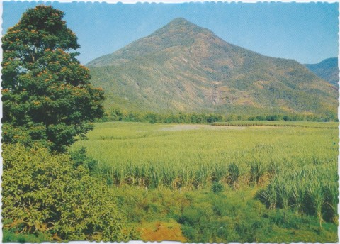
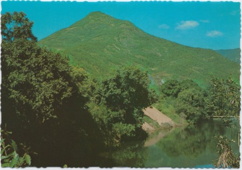
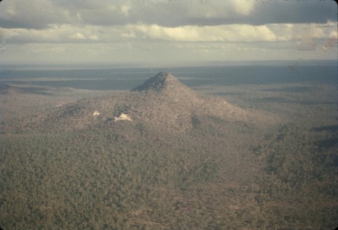
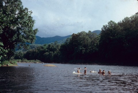
Gordonvale, a rural centre on the outskirts of the Cairns metropolitan area, is 20 km south of central Cairns. It is on the Mulgrave River, and the area was originally known by that name. The river flows through a wide alluvial plain overlooked from the south by the Bellenden Ker Range and the prominent Walsh's Pyramid (Djarragun Mountain, 922 m) at the end of the Range.
The river flats were used for growing maize, bananas and sugar, and Gordonvale was a reprovisioning point for mule teams carrying goods over the range to Herberton in the 1880s. Gordonvale later became the junction of the Atherton-Herberton road (Gillies Highway) running across the Atherton Tableland and the main coast road (Bruce Highway).
One of the earliest cane farms was the Pyramid plantation (1882) and a butcher, John Gordon, moved there in the early 1880s. Gordonvale was named after him, officially in 1913, superseding the name Nelson which had been given to the town surveyed in 1896 for the Mulgrave Central Mill.
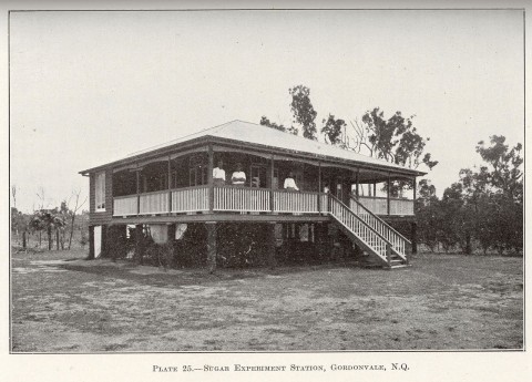
The Pyramid plantation established the district's first sugar mill in 1883 but it lasted for only two crushing seasons. The Mulgrave Central Mill Co was formed in 1893, and in 1895 began the construction of a new mill. Its opening in 1897 coincided with the construction of the Cairns to Mulgrave tramway (actually a 3 feet 6 inches gauge railway). A school, known as Wright's Creek, was opened in 1897, somewhat north of the town surveyed the year before.
Gordonvale's position was between sugar cane farm lands and foothills suitable for orchards and timber production. An optimistic prospectus for the 'Mulgrave Plantation Estate' (1929), offering 81 farms 'unlocked at last', described the Gordonvale district as the luxuriant home of bananas, sugar cane, dairying and citrus, with a setting of fertile valleys and towering peaks. In fact, sugar became the dominant product. Australia's first cane toads were released at Gordonvale in 1935.
Distant 20 km from Cairns, Gordonvale developed its own racecourse, bowling club and golf club. It has developed a town culture of its own, sometimes expressed by the desire to stay clear of Cairns' urban sprawl. It was the main town in Mulgrave shire (1902-1995). Its agricultural role was probably strengthened when cane formerly processed by the Hambledon mill (closed 1991) was transferred to the Mulgrave mill. Nevertheless, housing subdivisions have occurred on the town's perimeter.
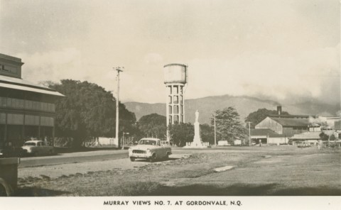
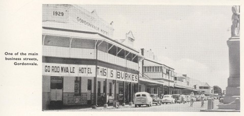
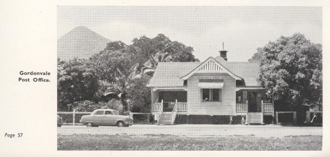
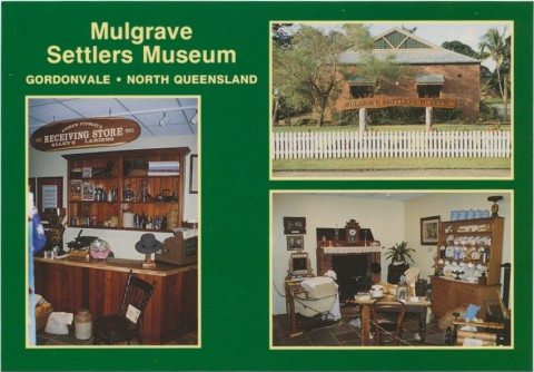
Gordonvale, immediately west of the Bruce Highway, the railway station and the sugar mill, has its golf course, racecourse (five meetings a year), high school (1965), primary school and swimming pool in a unified precinct. The shops, the Mulgrave Settlers' Museum, churches and the Catholic school (1923) are near the station. Westwards are the forest reserves and Walsh's Pyramid, and to the north there is the Djarragun P-12 College (2001) for Indigenous Australians. Its enrolment includes day and boarding students. Gordonvale's census populations have been:
| Census Date | Population |
|---|---|
| 1911 | 506 |
| 1921 | 1243 |
| 1933 | 2066 |
| 1981 | 2375 |
| 1991 | 2658 |
| 2001 | 3582 |
| 2006 | 4420 |
| 2011 | 6214 |
Mulgrave Central Mill Co, 50 Years in retrospect ... Mulgrave Central Mill, Gordonvale, Mulgrave Central Mill Co, 1947
Clive Morton, By strong arms, Gordonvale, Mulgrave Central Mill Co, 1995
Olive Morton, Gordonvale State Schools: the first 75 years, Gordonvale, The School, 1972