Inglewood is a town on the Cunningham Highway, 210 km south-west of Brisbane and midway between Warwick and Goondiwindi. Its name was probably derived from an Aboriginal word that sounded like 'ingle', thought to describe the cypress pine.
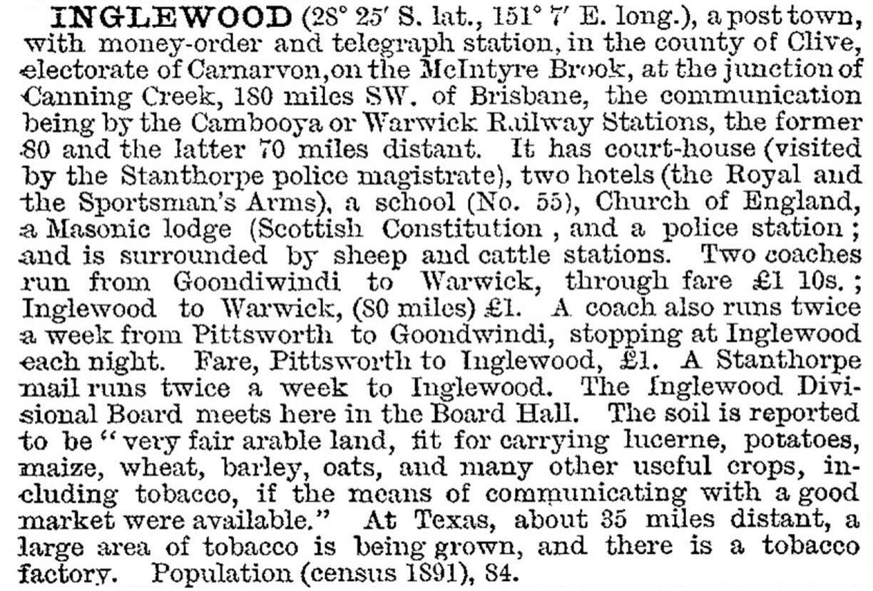
Inglewood is at the junction of the Canning Creek and Macintyre Brook which was a good place to spell bullock teams and livestock. Brown's Inn opened in the late 1850s on the south side of Macintyre Brook, and in 1862 a town was surveyed on the higher, northern side. A school was opened in 1872, and the Inglewood local-government divisional board (1879) met in the town. Most of the hinterland consisted of large pastoral stations, several of which came under closer-settlement in the mid-1880s. The town grew over the next 20 years, and in 1903 it was described as follows in the Australian handbook:
In 1907 Inglewood was connected by rail to Warwick, and westward to Goondiwindi.
Catholic and Presbyterian churches opened in 1902 and 1906 (the Anglican church began in 1894), and a hospital was built in 1921. Nine years later Inglewood became a rail junction when the line to Texas was opened. It carried freight, including fuel to, and ore from, the Silverspur mine east of Texas. Local dairying was served by a branch factory of the Warwick Co-operative (1940-60). In addition to the Barnes & Co universal provider, Pugh's Queensland Directory (1925) recorded four hotels in Inglewood, two sawmills, a picture show and several other stores and tradespeople; most farmers were still described as selectors.
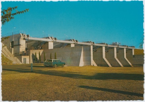
In 1951 a Catholic primary school was opened and nine years later a secondary department was added to the State School. Between those events the McIntyre Brook flooded the town (1956). It was thought that the Coolamunda dam (1968) east of Inglewood might prevent flooding, but rain in 1978 brought the flood level to within two feet of the 1956 peak. The 1956 flood event wiped out the tobacco crop, and tobacco farming declined in the 1960s, taking population out of the town and shire. It took 30 years for another unusual crop to develop - olives.
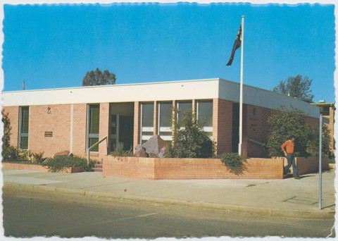
Inglewood has a wide main street with a median planted with mature palm trees. It has golf and bowling clubs, two hotels, a showground, the former shire civic centre, a heritage centre, a Catholic primary school (1951), State P-10 school and a health service/hospital. Its census populations have been:
| Census Date | Population |
|---|---|
| 1871 | 78 |
| 1901 | 168 |
| 1911 | 1027 |
| 1933 | 631 |
| 1954 | 1026 |
| 1961 | 1058 |
| 1976 | 1094 |
| 1991 | 1007 |
| 2001 | 867 |
| 2006 | 810 |
| 2011 | 1069 |
Geoff Harding, Across the Dumaresq: a history of the Inglewood Shire, Inglewood, Inglewood Shire Council, 1988