Lytton, an industrial suburb, is on the south-east bank of the Brisbane River at its seaward end. It is 13 km north-east of central Brisbane, but considerably further by road or railway. It was probably named after Edward Bulwer Lytton (1803-73), Secretary of State for the Colonies, 1858-59.
In 1859 a village and pilot station were established at the end of Brisbane River and two years later a road from Norman Creek was surveyed. By 1862 the road to Lytton was gazetted and a telegraph line from Brisbane was installed. A post office operated there during 1876-1908.
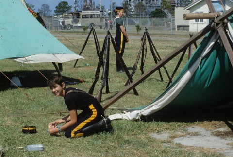
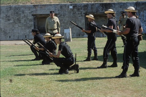
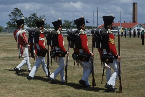
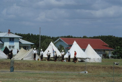
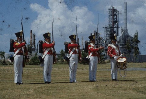
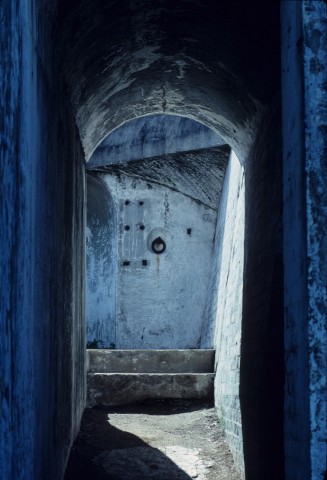
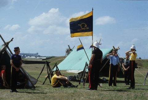
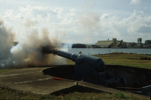
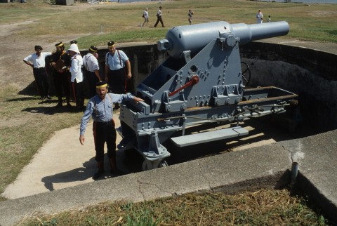
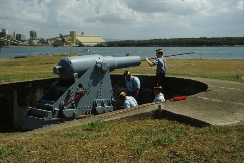
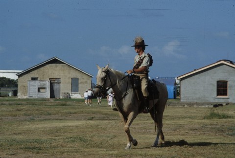
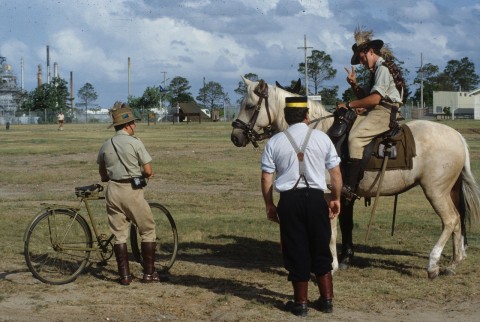
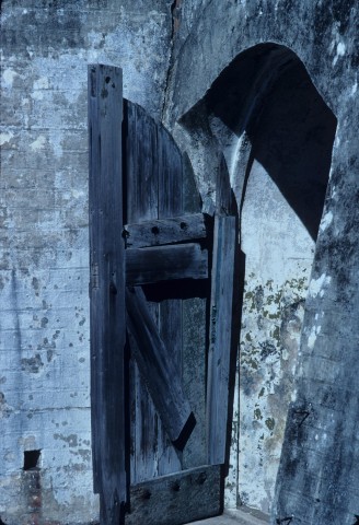
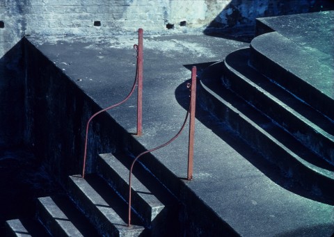
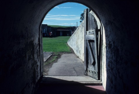
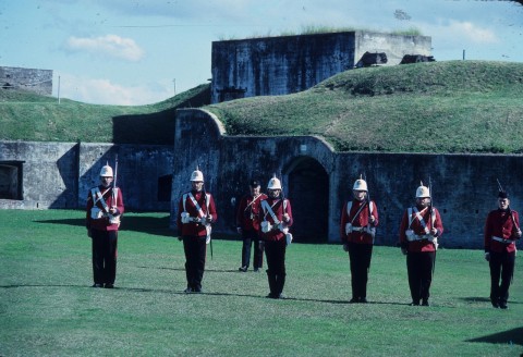
In 1877 Lytton was chosen as a fortified site to protect the entry to Brisbane, and four years later a rifle range was opened. Fort Lytton (1881) was a pentagonal structure concealed behind an embankment and a moat. It had two six inch disappearing guns. There was also a reformatory school (1881) at Signal Hill, established there after languishing on a hulk moored in the river for ten years. Entry to the Brisbane River was eased in 1897 by blasting away part of the Lytton Rocks, located west of the road connection between Lytton and Fisherman Island.
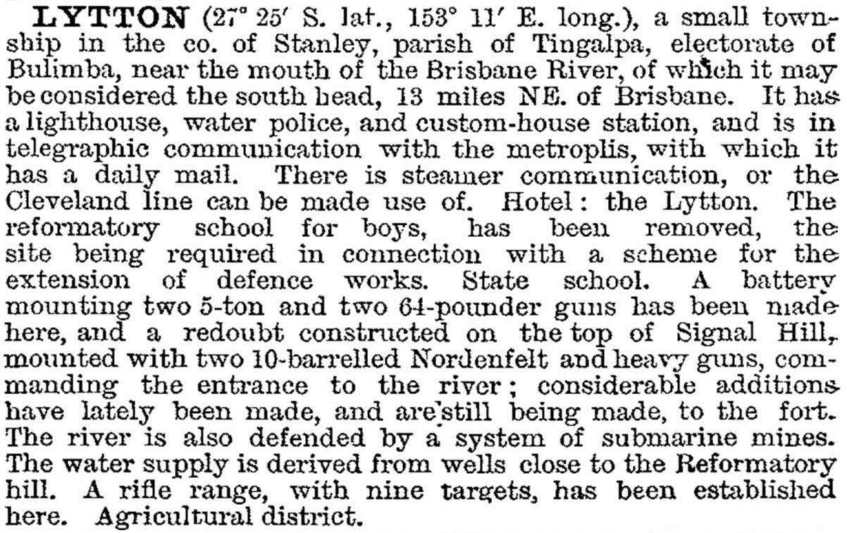
The Lytton area was acquired by the Commonwealth Government in 1901. In 1903 Lytton was described in the Australian handbook:
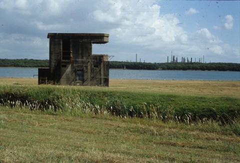
Lytton's seaward limit was an irregular line that passes north-westerly through the present oil refinery site, shown in modern street directories as the boundary between Lytton and Port of Brisbane. Beyond that line were mangroves and White Island, followed by a boat passage, Fisherman Island(s), interspersed with mud banks and mangroves, open water and Bishop Island. Reclamation works since the 1960s have joined all the landforms adjacent to the river. In 1917 the Commonwealth Government transferred the Moreton district quarantine area from Peel Island to a site immediately south of the fort. There was also an airfield in the 1920s-30s.
Australia's first Australian-owned oil refinery, Ampol, was opened east of the quarantine site in 1965. That, and the land reclamation for downstream port facilities, required a railway line from Lindum to the refinery (1966) and a further extension in 1980 to the reclaimed Fisherman Island(s).
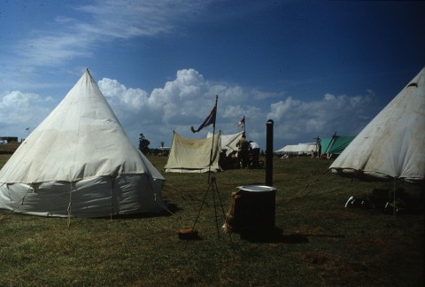
Fort Lytton was declared a national park in 1988 and there is a visitor's centre on Fisherman Island. Fort Lytton, Lytton (signal) Hill and the former quarantine station are listed on the Queensland heritage register.
Census populations for Lytton have been:
| census date | population |
|---|---|
| 1864 | 42 |
| 1876 | 34 |
| 1881 | 138 |
| 1886 | 211 |
| 1911 | 58 |
| 1976 | 54 |
| 1981 | 58 |
| 2006 | 17 |
| 2011 | 6 |