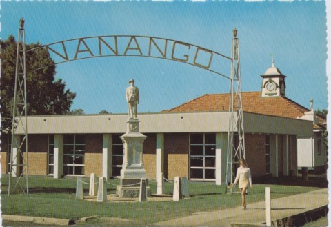
Nanango Shire, with an area of 1735 sq km, was amalgamated with Kingaroy, Murgon and Wondai Shires in 2008 to form South Burnett Regional Council. It was situated in the hilly country of the Blackbutt Range. Its main town and administrative centre, Nanango (see separate entry) is 150 km north-west of central Brisbane.
European settlement of the district began in the 1840s, with the taking up of several pastoral runs used for sheep grazing. The shire began as the Barambah local government division in 1879, becoming the Nanango Shire in 1903. (For just two years, 1901-03, it was the Nanango divisional board)
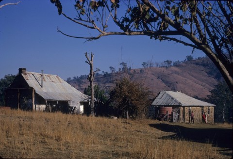
Nanango township was one of Queensland's earliest sites of permanent settlement, but it was a mere crossroads stopping place for nearly two decades from the establishment of a small inn in the 1840s. Farm selection began nearby in the 1870s. The settlement of Blackbutt, a timber town and farming district in the south-east of the shire, followed in the late 1880s. It was the discovery of gold in the late 1800s in parts of the shire and nearby Gympie which sparked considerable growth.
The shire's economy was given surer economic footings with the provision of rail services. Railway links came from the north and the east: the former in a long loop approaching from Murgon and Kingaroy, and finally reaching Nanango in 1911; the latter, more directly, from Esk, reaching Blackbutt in 1912 and terminating at Yarraman in the adjoining Rosalie Shire. The seemingly obvious link, joining Nanango and Yarraman, was approved by Parliament but not implemented.
The opening of the lines was provoked by the resumption of large pastoral estates, such as Taabinga, for farm selections and the clearing of land such as the Coolabunia Scrub between Kingaroy and Nanango.
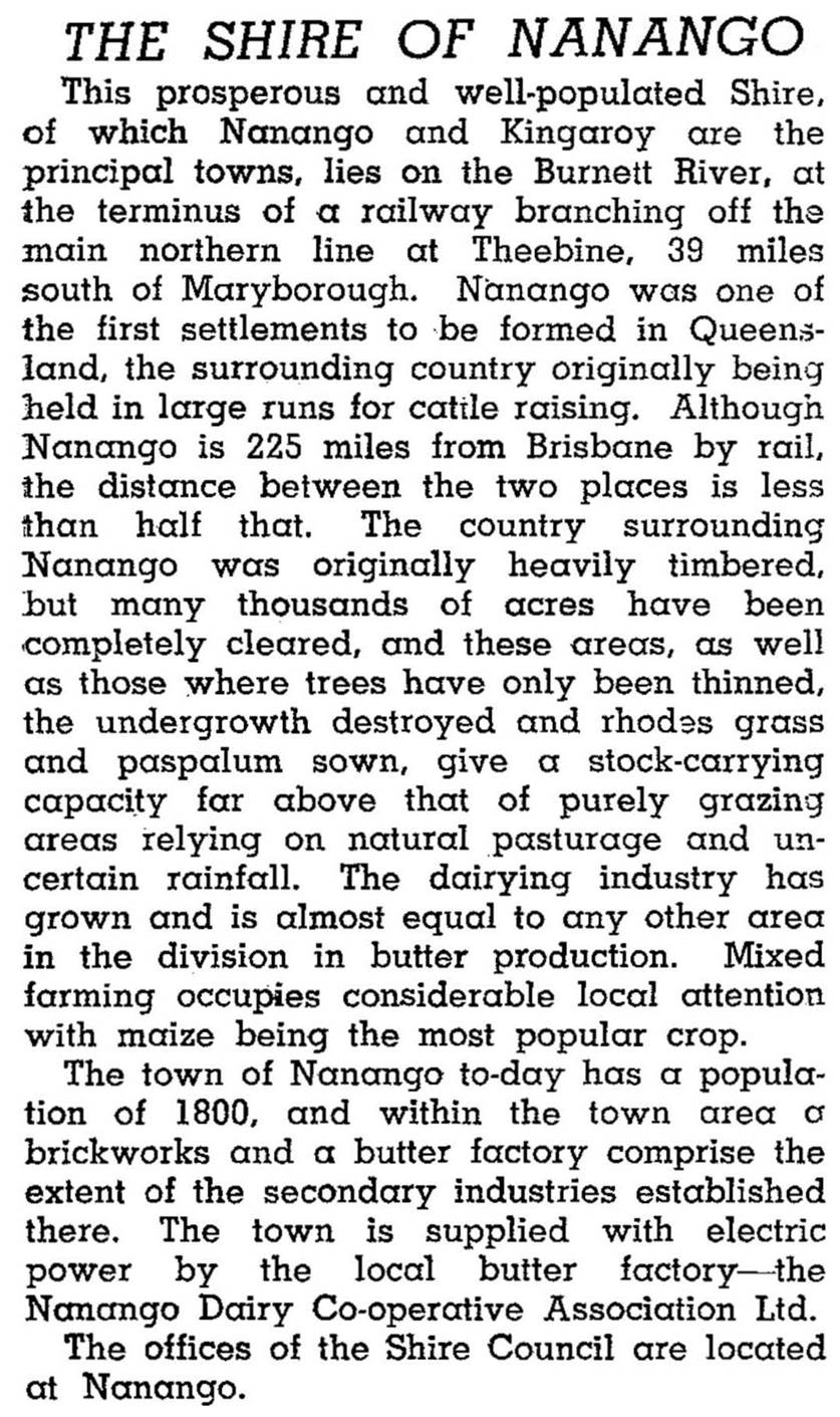
By the late 1940s the shire had well developed grazing industries, and sawmilling was relying increasingly on plantation hoop pine begun in the 1920s. The Australian Blue Book (1946) described a buoyant shire as follows (although the author incorrectly included Kingaroy in the description, that area having been severed in 1912):
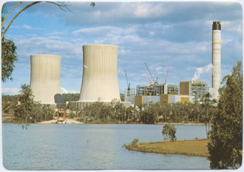
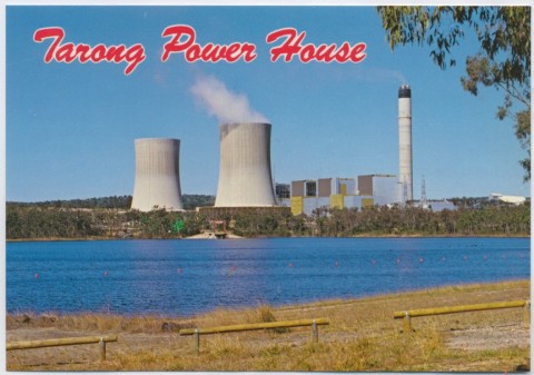
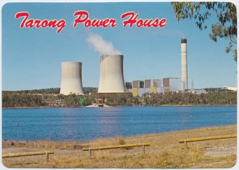
Dairying declined in the shire after World War II, as domestic demand for butter diminished and various external supports - such as price equalisation schemes - were removed. A coincidence of natural features suitable for electricity generation - coal deposits and a coolant supply in the headwaters of the upper Burnett River in the south of the shire - led to the development of the Tarong power station. Completed in 1986, Tarong Power Station supplies up to a quarter of Queensland's electricity.
Beef cattle and pigs were the shire's main agricultural industries, along with some cereal and legume production.
Nanango Shire's census populations were:
| Census Date | Population |
|---|---|
| 1911 | *6443 |
| 1921 | 3629 |
| 1961 | 3244 |
| 1981 | 4149 |
| 1991 | 6375 |
| 2001 | 8206 |
| 2006 | 9014 |
Judith Grimes, Pioneering into the future: a history of Nanango Shire, Maryborough, Wise Owl Research Publishers, 1998
A. Hodge, Nanango Shire handbook, Brisbane, Queensland Department of Primary Industries, 1970
J.E. Murphy & E.W. Easton, Wilderness to wealth: being a history of the shires of Nanango, Kingaroy, Wondai, Murgon, Kilkivan and the upper Yarraman portion of the Rosalie Shire: 1850-1950, Brisbane, Smith and Paterson, 1950
Tony Matthews, Landscapes of change: a history of the South Burnett, Wondai, South Burnett Local Government Association, 1997
Blackbutt and Nanango entries