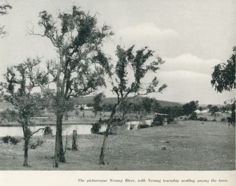
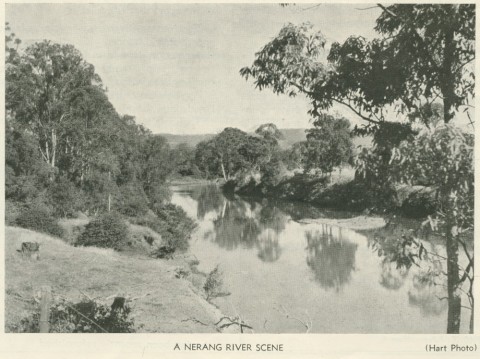
Nerang is a suburb in Gold Coast City, 10 km west of Surfers Paradise. It was named after the Nerang River which rises in the McPherson Range on the New South Wales border. The river flows north to the Hinze Dam (Advancetown Lake) and then east through coastal wetlands (now canal estates) to the Broadwater at Southport. It is thought that the name derived from an Aboriginal expression describing a little river or a shark.
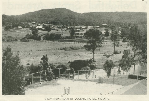
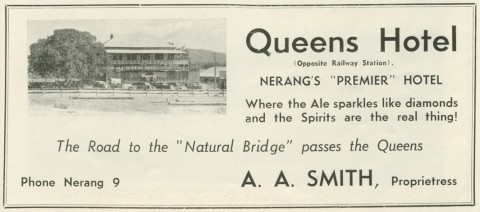
In the mid-1860s several farm lots were granted for sugar growing along the Nerang River. One of them was the Benowa plantation, now the name of a suburb east of Nerang. The Nerang township, on the west side of the river, was surveyed in 1865. Lavelle Street was named after the surveyor and Ferry Street signified the route to the river crossing. A primary school opened in 1875 and the South Coast railway was extended to Nerang in 1889. The Nerang divisional board was established in 1879, but local interests had the board's office built in Mudgeeraba. Most other institutional buildings were in Nerang: court house, school of arts (1886), Anglican, Catholic and Presbyterian churches and the Commercial, Queens and Star Hotels. The Southern Queensland Agricultural Society was headquartered at Nerang.
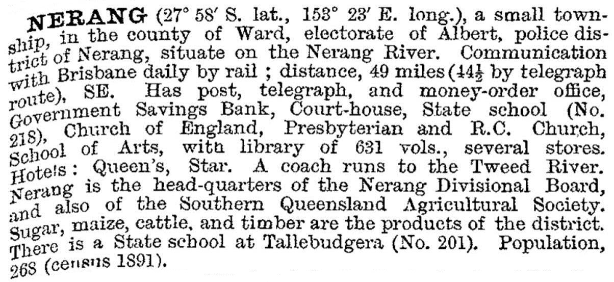
Nerang was described in the 1903 Australian handbook:
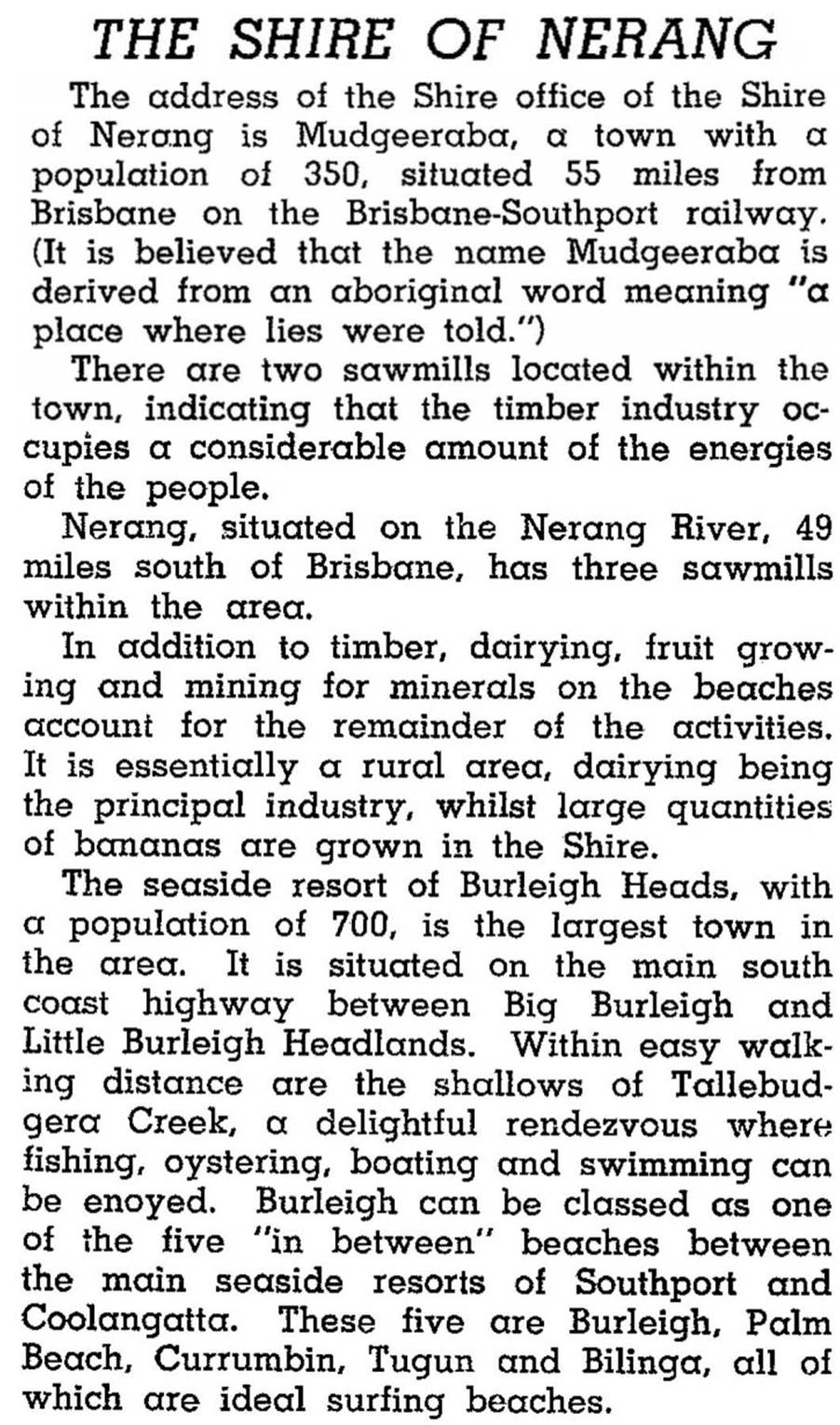
The Nerang local-government division administered an area of about 700 sq km, including Southport until its excision in 1883. It also administered Coolangatta until 1914 when it, too, was excised. Nerang division (restyled as a shire in 1903) thus stayed a rural province, with Nerang and Mudgeeraba its main villages. In 1946 Nerang Shire was described in the Australian Blue Book:
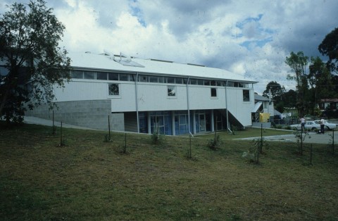
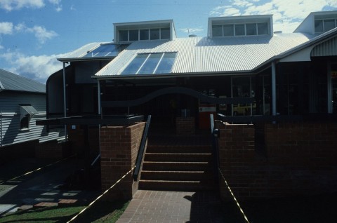
In 1949 Nerang Shire was amalgamated with Beenleigh, Coomera and Waterford Shires to form Albert Shire. Nerang Shire contributed about half of Albert Shire's 8600 residents. The new shire offices were built at Nerang, and the role has continued with Gold Coast City's headquarters there. (Albert Shire was amalgamated with Gold Coast in 1995).
Nerang's urban growth began in the 1970s and accelerated in the next decade. The high school was opened in 1986 and another primary school, William Duncan, opened in south Nerang in 1987. That area is now the suburb of Highland Park.
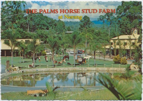
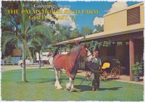
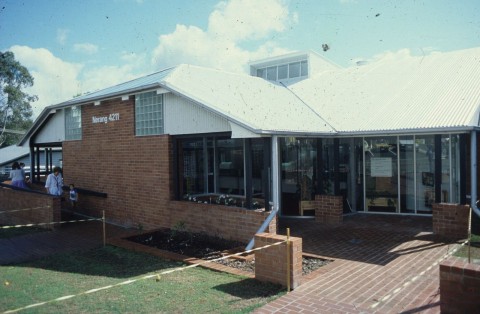
One of the Nerang district's urban developers was Arthur Earle, chiefly known for the Robina town development. He is remembered, however, by the Earle Haven Resort on the Nerang-Broadbeach Road, and Earle Plaza shopping centre next to Nerang's main shopping streets. Nerang's town centre is compactly positioned, with facilities such as an equestrian centre, cycling centre, churches, community centre and swimming pool within walking distance. So, too, is the caravan park on the Nerang River.
Out of the town centre, on the Pacific highway, there are two drive-in shopping centres with Aldi, Coles and Woolworths supermarkets. Also out of town, to the west, there is a Catholic church and primary school (1994). There are several linear parks along the river, including the Arthur Earle park; and the Nerang State Forest is barely a stone's throw from the Gold Coast City offices, extending about six km north-west to Maudsland.
Nerang residents' median income is about 12% below the Australian median. There are slightly more technicians, trade workers and labourers than the average, and fewer managerial and professional workers. Nerang's census populations have been:
| Census Date | Population | |
|---|---|---|
| Nerang Shire | 1881 | 1015 |
| 1911 | 1809 | |
| 1921 | 2917 | |
| 1947 | 4024 | |
| Nerang | 1891 | 268 |
| 1911 | 312 | |
| 1933 | 466 | |
| 1966 | 472 | |
| 1976 | 1465 | |
| 1981 | 4356 | |
| 1986 | 7333 | |
| 1991 | 10,174 | |
| 1996 | 14,467 | |
| 2006 | 16,066 | |
| 2011 | 16,256 |
Michael Jones, Country of fiver rivers: Albert Shire 1788-1988, North Sydney, Allen & Unwin, 1988
Robert Longhurst, Nerang Shire: a history to 1949, Nerang, Albert Shire Council, 1994
1875 Nerang State School 2000: 125th anniversary, 2000