The former Noosa Shire had several inland towns and localities. Since 1998 the localities have had formal boundaries. Two of them – Doonan and Lake Macdonald – have separate entries. The others are described below.
Black Mountain is south of Pomona, and west of Cooroy. The origin of the name is apparently unrecorded, but Black Mountain primary school was open betweena 1913 and 1961. The nearest school is to the north-west in Federal. Black Mountain's census populations have been:
| Census Date | Population |
|---|---|
| 1921 | 33 |
| 1961 | 90 |
| 2006 | 1043 |
| 2011 | 1175 |
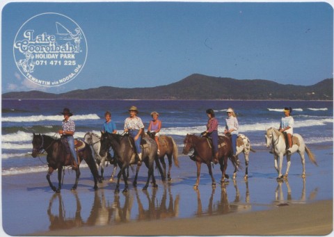
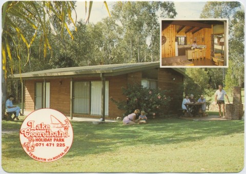
Cooroibah is immediately north of Tewantin and includes Lake Cooroibah, one of the several lakes formed along the bed of the Noosa River. It is thought that the name derived from an Aboriginal word describing possums. Nearly all of Cooroibah has come under rural/residential subdivision except for public reserves and an evangelical campsite on its western side. Its census populations have been:
| census date | population |
|---|---|
| 2006 | 1827 |
| 2011 | 1744 |
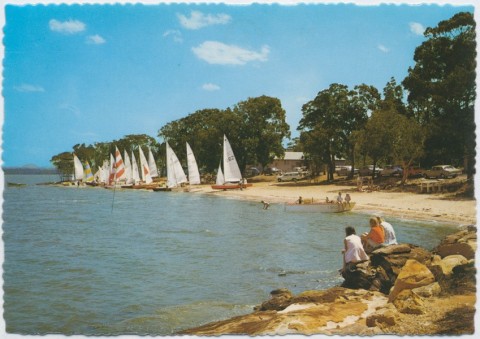
Cootharaba is 13 km north of Tewantin. Lake Cootharaba is the second of the lakes on the Noosa River and is bordered by the Great Sandy National Park. When solely a rural place, there were the Cootharaba Lake primary school (1909-43) and the Cootharaba Road primary school (1894-1965).
Cootharaba's census populations have been:
| Census Date | Population |
|---|---|
| 1911 | 144 |
| 1947 | 174 |
| 1961 | 169 |
| 2006 | 691 |
| 2011 | 791 |
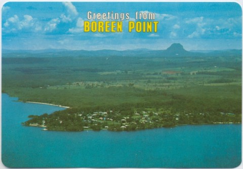
Boreen Point is a small (urban) holiday and retirement spot on the western side of the lake.
Boreen Point's census populations have been:
| census date | population |
|---|---|
| 1961 | 89 |
| 2006 | 280 |
| 2011 | 264 |
Ridgewood is immediately south-west of Black Mountain. It is crossed by several streams that run into the Mary River. Its primary school opened in 1916 and for a few years the school was named Mary River. Like Black Mountain's school, it too was closed in 1961. Ridgewood has a public hall and its census populations have been:
| Census Date | Population |
|---|---|
| 1921 | 42 |
| 1954 | 100 |
| 2006 | 612 |
| 2011 | 498 |
Tinbeerwah is immediately west of Tewantin on the road to Cooroy. Mount Tinbeerwah (265 m) is in the Tewantin Forest Reserve. It is thought that Tinbeerwah is an Aboriginal expression for a high place or grass trees. The site of Tinbeerwah's primary school (1914-63) on the Cooroy-Noosa Road is now School Park, and to the east there is the Tinbeerwah public hall. Tinbeerwah's census populations have been:
| census date | population |
|---|---|
| 2006 | 1069 |
| 2011 | 1262 |