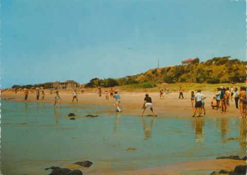
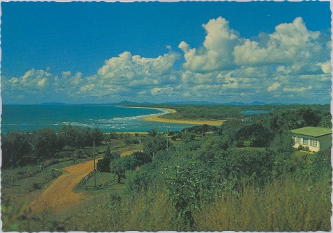
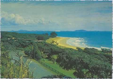
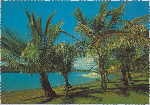
Tannum Sands, a costal town, is 16 km south-east of central Gladstone. Whereas Gladstone's port lies behind Curtis and Facing Islands, Tannum Sands is open to the Pacific Ocean and has a surf beach on its eastern side. The western side is bordered by the Boyne River, over which there is a bridge to Boyne Island.
Originally known as Wild Cattle Beach, it was named Tannum in 1939, by when it was a popular picnic spot. The name apparently arose from the suntan acquired by children at the beach picnics.
The name was changed to Tannum Sands at the request of the local progress association in 1959.
During the 1960s Tannum Sands was still a small beach resort and 'outer suburb' of Gladstone, but the announcement of plans for the aluminium smelter ushered in substantial residential growth. A reticulated water supply was installed in 1970 and a sewerage scheme was completed in 1977. The bridging of the Boyne River enabled Tannum Sands to function as a dormitory suburb for the smelter and for Boyne Island to share in the provision of facilities (eg library) for the two towns. Tannum Central shopping centre was opened in 2004.
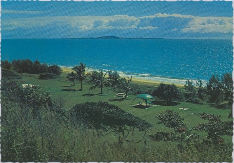
Tannum Sands has a primary school (1983), a high school (1998), a Catholic primary school (2005), a shopping centre, two motels, a surf life-saving club and a caravan park. The river and ocean shorelines have a continuous linear reserve which at various points widens to recreation and botanic reserves.
Tannum Sands' census populations have been:
| Census Date | Population |
|---|---|
| 1966 | 290 |
| 1976 | 565 |
| 1986 | 1798 |
| 1991 | 2460 |
| 2001 | 3363 |
| 2006 | 4139 |
| 2011 | 5254 |
Calliope Shire Council Centenary 1879 - 1979, Calliope, Calliope Shire Council, 1979
Lorna McDonald, Gladstone, city that waited, Gladstone, Boolarong for Gladstone City Council, 1988