Thangool is a rural village on the Burnett Highway, 100 km south-west of Gladstone and 12 km south-east of Biloela. It was named after its railway station (1924), and it is thought that the name derived from an Aboriginal expression describing a possum.
The railway station was on the Callide Valley line, a south-easterly branch from Rannes on the inland line from Gladstone. Originally intended to go through to Monto, the Callide Valley line was terminated a short distance past Thangool. Construction of the line coincided with the Callide Valley settlement scheme, involving many farmers on holdings that were found to be uneconomically small in area.
Thangool township was surveyed in 1925. By the early 1930s there were a school of arts (1928), a primary school (1927), Baptist and Catholic churches, two stores and the Criterion and Royal Hotels. A district aerodrome was laid out on the showground in 1938 and by the postwar years there was a picture theatre, a racecourse and a cordial factory. Several of the early farm settlers were from Greece and Russia. Cotton was grown in the 1930s, but present crops are mainly irrigated fodder, sorghum and wheat.
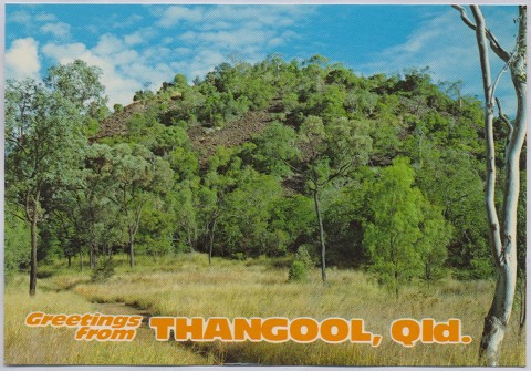
Thangool's primary school has coverage of a district where small schools have been replaced by bus services. Its aerodrome also serves Biloela, and the racecourse has eight meetings a year. Its local retail businesses, however, have shrunk to a garage and roadhouse and the Hotel Thangool. There are also a recreation reserve, a hall and an Anglican Church. The Mount Scoria conservation park is 10 km south of Thangool.
Thangool's census populations have been:
| Census Date | Population |
|---|---|
| 1933 | 223 |
| 1961 | 198 |
| 1986 | 242 |
| 2006 | 545 |
| 2011 | 829 |