Torres Shire is the local government area for Thursday Island, Prince of Wales Island, Hammond Island, Horn Island and parts of the extreme north of Cape York. Before 2002 it also governed Badu, Mer and other islands in Torres Strait.
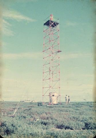
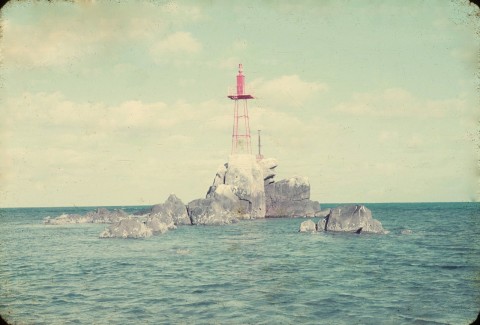
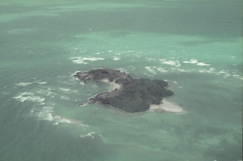
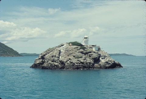
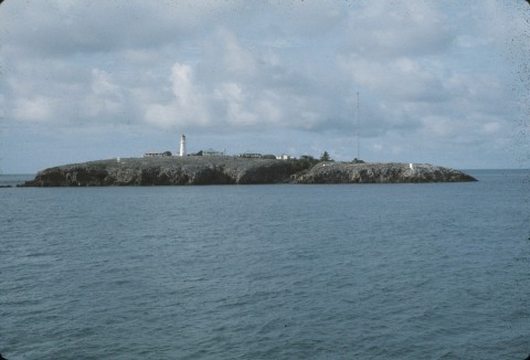
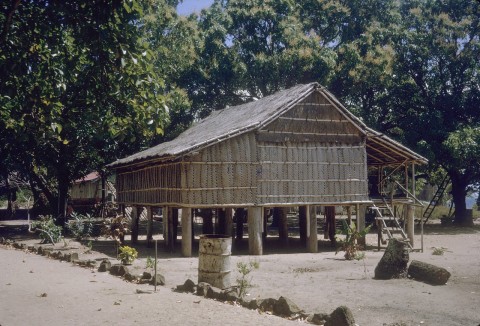
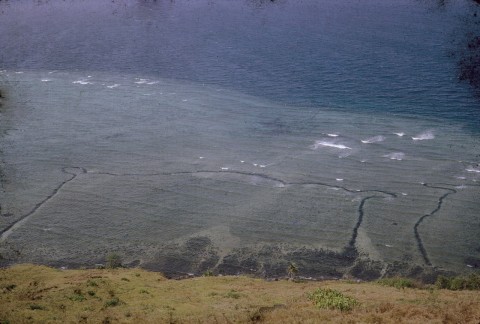
Torres Strait was named after Luis Vaez de Torres, a navigator who as part of a Spanish voyage sailed from the vicinity of New Hebrides, through the strait, to the Moluccas and the Philippines in 1606. The naming of the strait was bestowed by the British hydrographer, Alexander Dalrymple, on a chart published in 1767. The strait is dotted with numerous islands and sand banks, making navigation hazardous. It was formed during the past 20,000 years as sea levels rose, leaving several island groups. The western islands (including Thursday Island) are remnants of the Australian Great Dividing Range. A central group consists mainly of coral cays and the eastern group comprises recent volcanic formations (the Murray Group). Close to the New Guinea coastline there are recent muddy, alluvial islands such as Saibai.
Thursday Island is the main population centre and the history of European settlement of Torres Strait is outlined in that entry. When local government began in 1885 the administrative unit was named the Torres division, then Torres Shire and ultimately the town of Thursday Island (1912). For practical purposes the authority's reach rarely went beyond Thursday Island until the 1970s when it was renamed Torres Shire and given jurisdiction over the strait's many inhabited islands. In 2002 several of the larger populated islands were excised for control by their own councils. Complementing the shire and the island councils is the Torres Strait Regional Authority (1994).
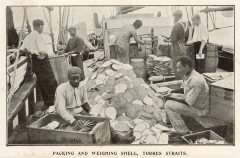
The decline of the pearl shell industry in the 1960s was a serious blow to Torres Strait's economy. Fishing and crayfishing absorbed some of the local labour, but by 2000 the overwhelming employment sector was government, administration and defence.
Torres Shire's census populations have been:
| Census Date | Population |
|---|---|
| 1976 | 6001 |
| 1991 | 8233 |
| 2001 | 9346 |
| 2006 | 3233 |
In 2008 the various self-governing Torres Strait Islands were amalgamated to form the Torres Strait Island Regional Council.
The Torres Strait Island Regional Council's census populations have been:
| census date | population |
|---|---|
| 2011 | 3256 |
At the 2011 census, 63.3% of residents were recorded as Aboriginal and Torres Strait Islander people. It is estimated that about four times the number of Torres Strait Islanders reside outside the strait as reside there.
Badu, Bamaga, Horn Island, Murray (Mer) Island and Thursday Island entries