Wacol, a suburb with industrial, correctional and psychiatric facilities, is 17 km south-west of central Brisbane. Wacol is situated on the Ipswich railway line, and its name (1927) was formed from a weight bridge for coal at the railway station.
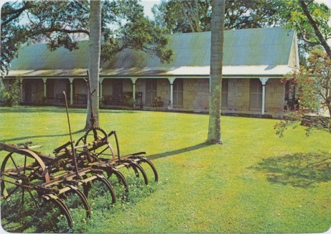
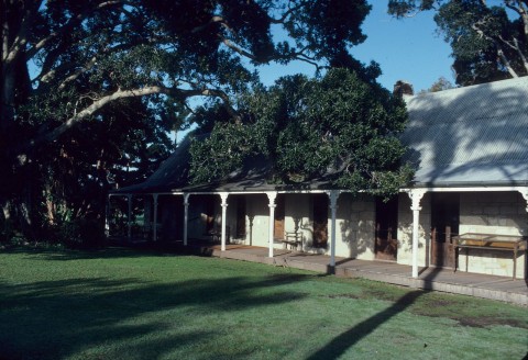
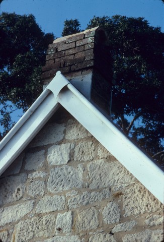
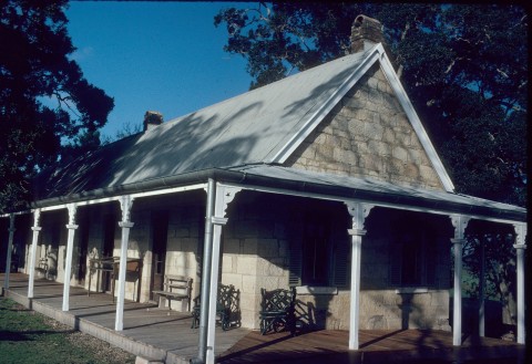
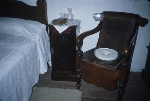
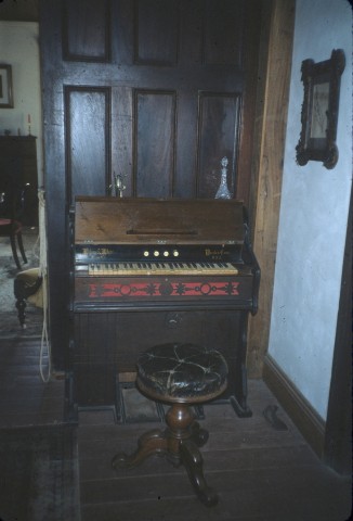
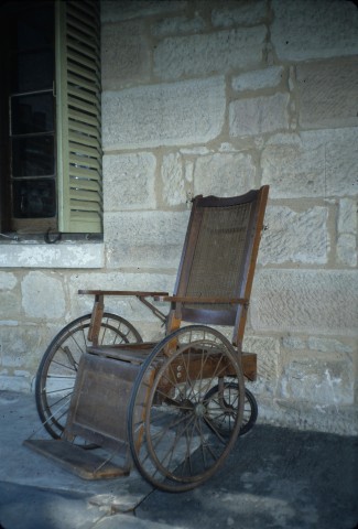
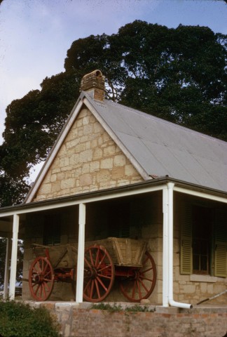
Wacol is a large suburb with the Brisbane River as its western boundary. Riverside residential living has not evolved, as the John Oxley (psychiatric) Hospital and animal research facilities occupy much of the space. That was not the case, though, when Dr Stephen Simpson acquired his Wolston estate in 1846, extending from Woogaroo Creek. Wolston House, Grindle Road, next to the Animal Research Centre, is on the Australian heritage register. Both the house and the Wolston Park mental hospital complex (1865) are listed on the Queensland heritage register.
In 1888 the Wolston post office was opened and in 1904 the Carole Park primary school (on Wacol's southern boundary) enrolled its first pupils. The population was rural, engaged in dairying, orcharding and mixed farming. Orcharding continued until the 1960s in the east of Wacol. On the other side of Ipswich Road, near the river, the Gailes golf club (1924) was established. Next to the golf club there are the Wolston Park cricket ground (1909) and bowling club, and to the south there is the Wolston Park Golf Club.
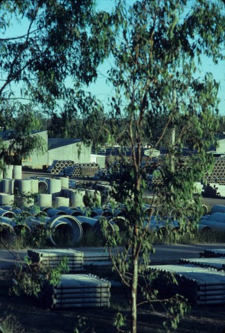
World War II brought a large population of American services personnel to Wacol, and in the early postwar years an immigration holding centre was opened, between the Ipswich Road and the railway line, north of Sandy Creek and the Wacol railway station. Wacol's role as a centre for metropolitan and regional facilities then developed, taking advantage of the undeveloped land and the proximity to transport corridors: Sananada Army barracks (Wacol and Darra, put on the market in 2005), Wolston Park hospital, John Oxley (psychiatric) hospital, the Barrett Adolescent Centre, the Arthur Gorrie Correctional Centre, a women's correctional centre, a juvenile remand centre and a youth detention centre (2001). Industry sites spread east of Ipswich Road, beyond the industrial estate serviced by a couple of spur railway lines.
FLOODS 2011
Much of Wacol was flooded from Wolston Creek, the suburb’s northern boundary, in January 2011. The Arthur Gorrie remand centre was encircled, but not flooded, and Wacol’s residential area avoided flooding. Unlike many golf courses, Gailes Golf Club was not flooded, but its southern neighbour (Wolston Park) went under.
Wacol's census populations have been:
| Census Date | Population | |
|---|---|---|
| Wacol suburb | 1954 | 421 |
| Immigration Centre | 1954 | 1044 |
| Housing Commission Camp | 1954 | 889 |
| Wacol | 1976 | 2814 |
| 1981 | 3474 | |
| Wacol including Carole Park | 2001 | 4853 |
| Wacol | 2006 | 2584 |
| 2011 | 2957 |