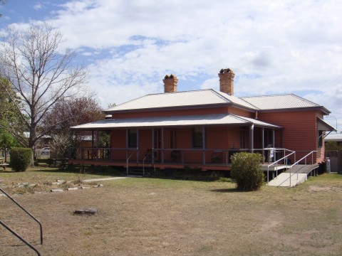
Wallangarra, a town on the Queensland - New South Wales border, is 200 km south-west of central Brisbane. It is thought that the name was derived from an Aboriginal expression describing a local waterhole. The town is near the 1859 surveyor's tree carving that marked the state border, and there is a pre-federation customs house erected for the regulation of inter-colonial trade.
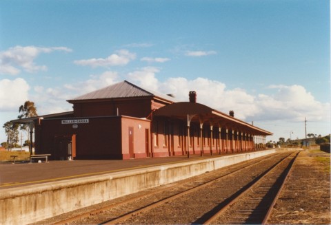
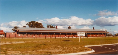
Upon the extension of the railway line to the border, to link with the New South Wales line, it became necessary in 1885 to proclaim a border town to accommodate passenger and freight changeovers because of differing railway gauges. The heritage-listed railway station was built in 1887 and continued as a changeover point until a uniform gauge railway was built in 1930. A school and a Catholic church were opened in 1885 and 1886, but the town's activity was concentrated around the station where there were a post office and refreshment rooms.
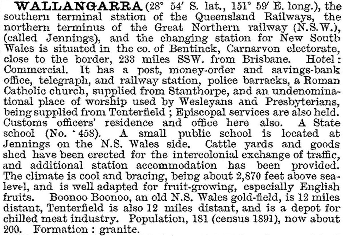
Soon after federation Wallangarra was described in the Australian handbook (1903):
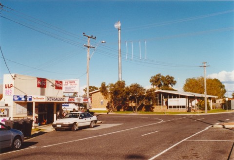
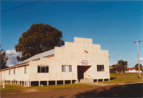
Despite the curtailment of railway activity in 1930 Wallangarra's population increased, and no significant decline occurred until the 1950s. Orcharding and 'granite belt' tourism helped the local economy. Girraween National Park is a few kilometres to the east. The railway station has been comprehensively restored, and the customs house has been maintained as a café and private residence. A school of arts (1957) replaced the original building erected in 1907. Wallangarra has a hotel, general store and a primary school, and its census populations have been:
| Census Date | Population |
|---|---|
| 1891 | 181 |
| 1933 | 387 |
| 1966 | 631 |
| 2001 | 399 |
| 2006 | 385 |
| 2011 | 510 |
Marie Ditton, Wallangarra Jennings 1888-1988: the town - the schools and the people, Wallangarra, The Wallangarra -Jennings Centenary Committee Inc., 1988