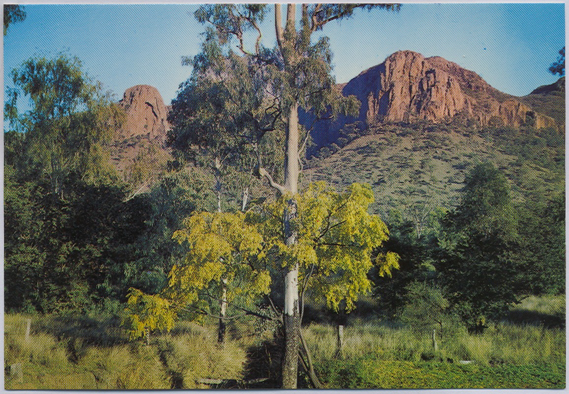
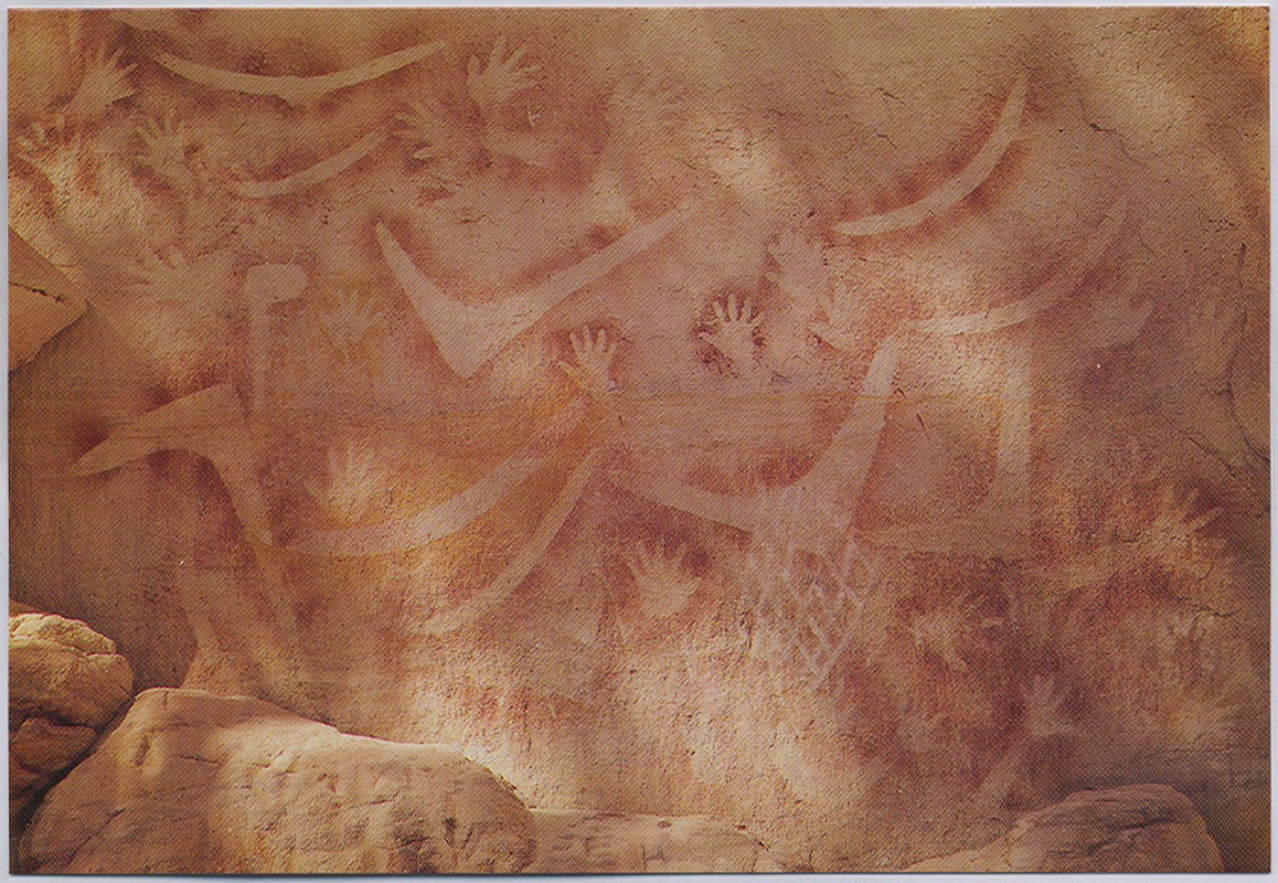
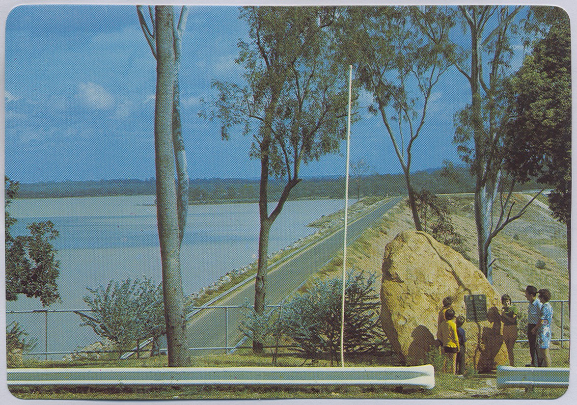
Virgin Rock, Central Highlands
Genre:
Headwords:
Year Created:
Contributor:
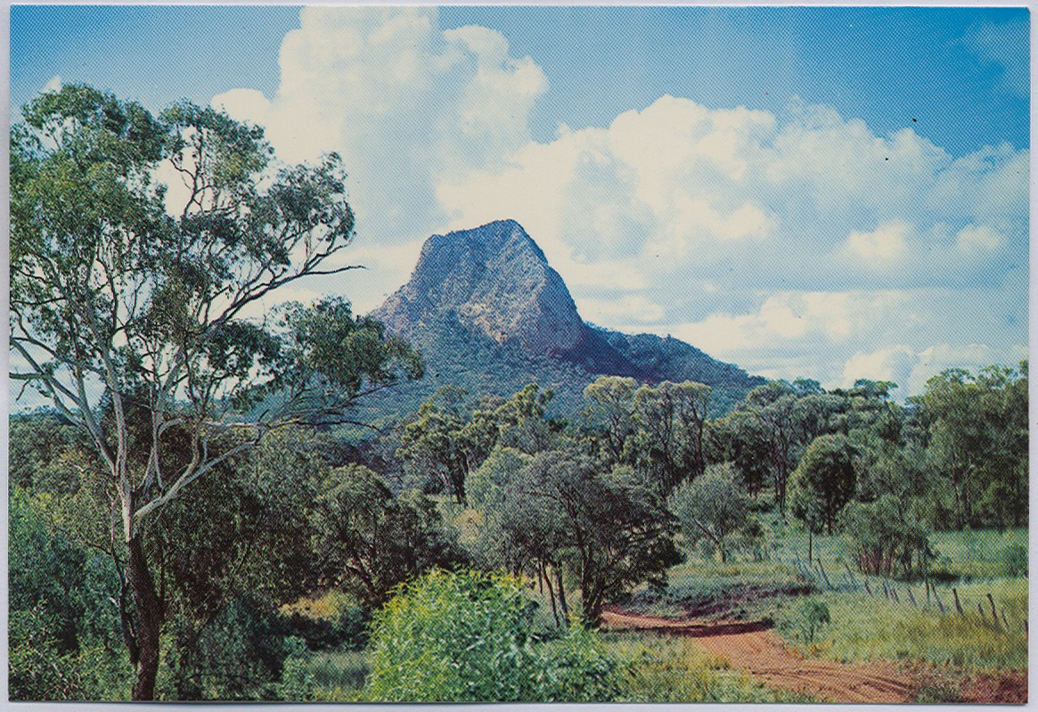
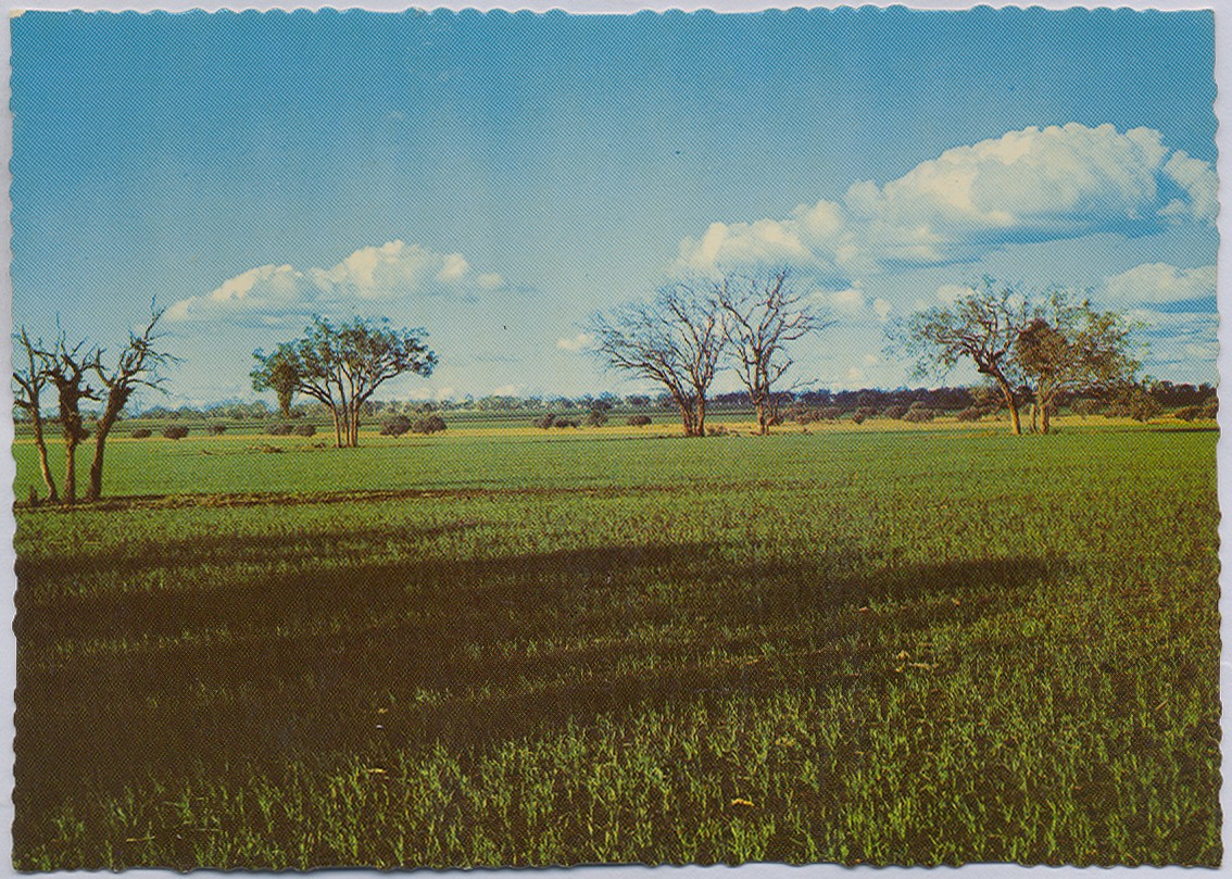
Central Highlands Regional Council was formed in 2008 by the amalgamation of Bauhinia, Duaringa, Emerald and Peak Downs Shires. The town of Emerald, 250 km west of Rockhampton, is nearly in the middle of the regional council's area. The foothills of the Carnarvon National Park are in the south, the Blackdown Tableland is in its east and the Drummond Range is in its west. The council's area is 59,884 sq km.
Bauhinia Shire, Duaringa and Duaringa Shire, Emerald Shire, Peak Downs Shire and Woorabinda Shire entries
Copyright © Centre for the Government of Queensland, 2018. All rights reserved.
