Cressbrook condensed milk factory
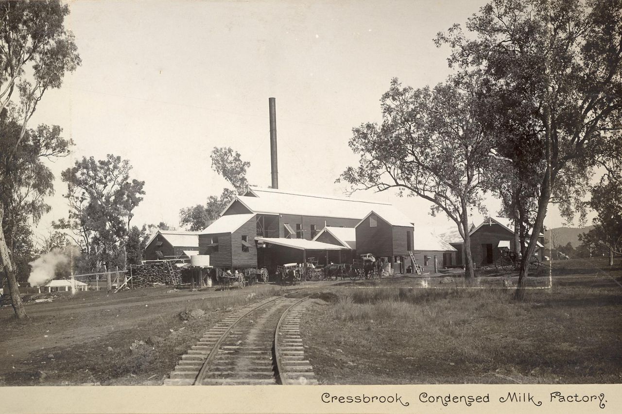
Genre:
Headwords:
Year Created:
Contributor:
Gutteridge's Vineyard at Belle Vue
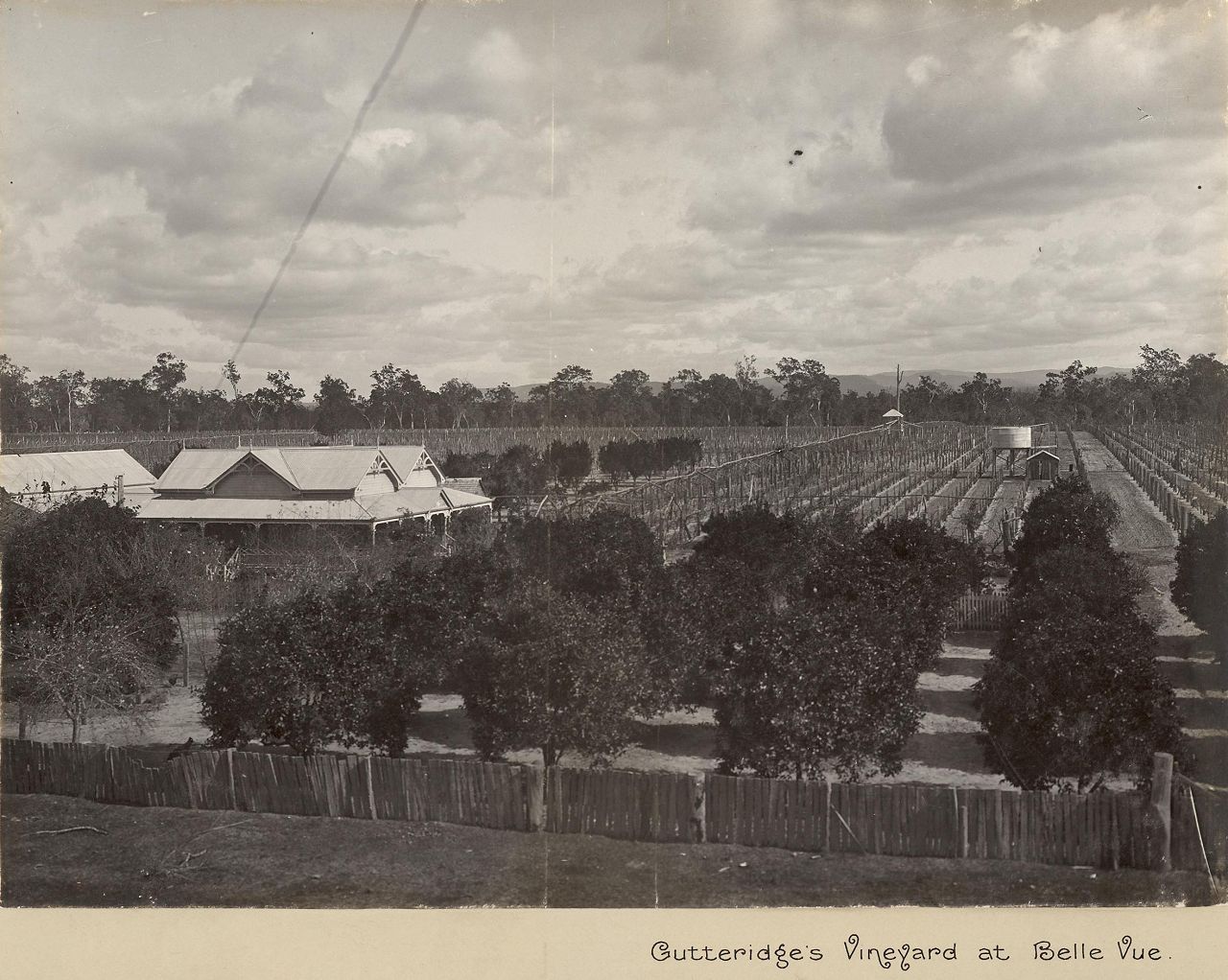
Genre:
Headwords:
Year Created:
Contributor:
Somerset (Stanley River) Dam
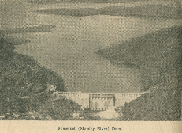
Genre:
Headwords:
Year Created:
Contributor:
Creator:
Publication Title:
Publication Place:
Taxonomy upgrade extras:
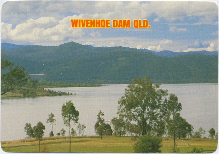
Esk Shire
Esk Shire, an area of 3934 sq km, generally 75 km north-west of central Brisbane, was amalgamated with Kilcoy Shire in 2008 to form Somerset Regional Council. The Shire's main topographical feature was the north-south Brisbane Valley along which is situated the townships of Moore, Toogoolawah, Esk, Lowood and Fernvale. The eastern boundary ran along the D'Aguilar Range and the western boundary approached Blackbutt and Crows Nest.
Further Reading:
Ruth Kerr, Confidence and tradition, Esk, Esk Shire Council, 1988
G.F. Filet, Esk Shire handbook, Queensland Department of Primary Industries, 1973
Coominya, Esk, Fairney View and Glamorgan Vale, Fernvale, Lowood, Minden, Prenzlau, Tarampa and Toogoolawah entries
Headwords:
Copyright © Centre for the Government of Queensland, 2018. All rights reserved.
