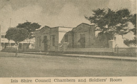
Isis Shire Council Chambers and Soldiers' Room
Genre:
Headwords:
Year Created:
Contributor:
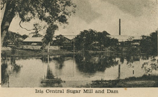
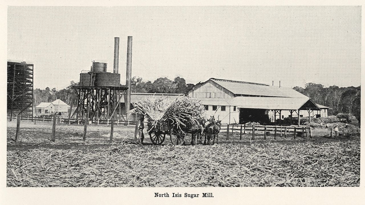
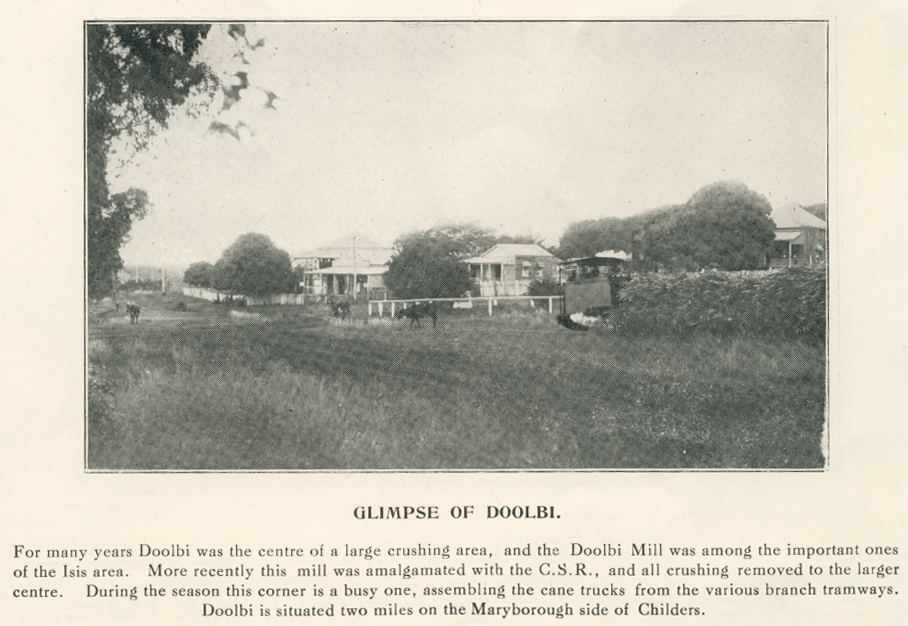

Isis Shire, an area of 1701 sq km, and generally 60 km west of Hervey Bay, was amalgamated with Bundaberg City and two other shires in 2008 to form Bundaberg Regional Council. It was named after the Isis River which has headwaters in the south-west of the shire and enters the Burrum Inlet on the west side of Hervey Bay. The river was named by its European discoverers, two colonial surveyors who likened it to the Isis River in Oxfordshire, England.
John Kerr, Only room for one: a history of sugar in the Isis district, Childers, Isis Central Sugar Mill Co, 1996
B.W. O'Neill, Taming the Isis, Childers, Isis Shire Council, 1987
Diana J. Beal, Shire handbook Isis, Brisbane, Queensland Department of Primary Industries, 1974
Apple Tree Creek, Childers, Horton and Woodgate entries
Copyright © Centre for the Government of Queensland, 2018. All rights reserved.
