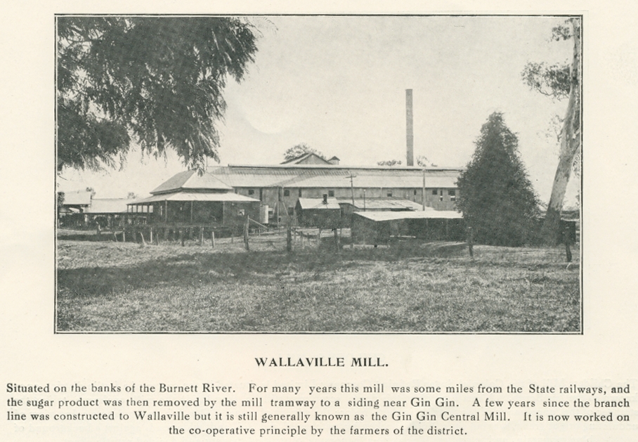
Wallaville Mill, Burnett River
Genre:
Headwords:
Year Created:
Contributor:
Creator:
Publication Title:
Publication Place:
Taxonomy upgrade extras:
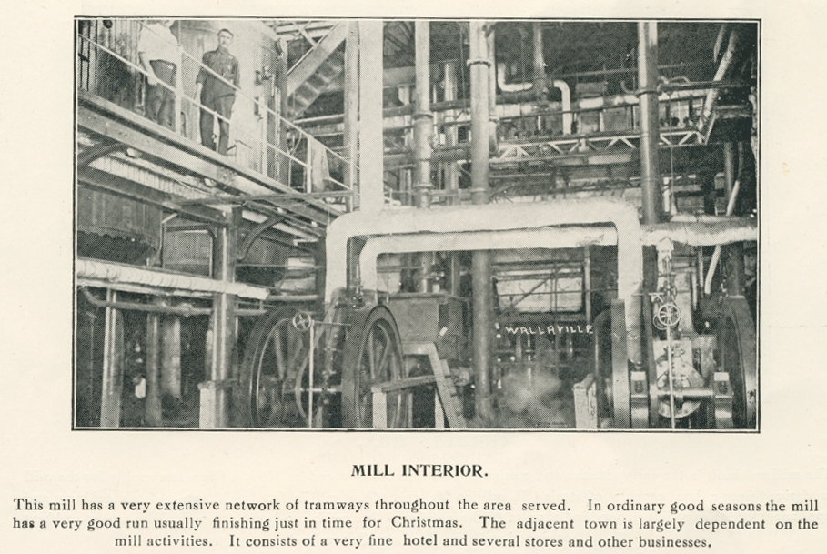
Wallaville Mill, interior, Burnett River
Genre:
Headwords:
Year Created:
Contributor:
Creator:
Publication Title:
Publication Place:
Taxonomy upgrade extras:
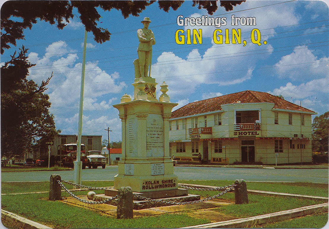
Kolan Shire
Kolan Shire, an area of 2655 sq km and generally 50 km west of Bundaberg, was amalgamated with Bundaberg City, Burnett Shire and Isis Shire in 2008 to form Bundaberg Regional Council. The Kolan River flows through the former shire from the Burnett River to the coast, north of Burnett Heads. It was named after the Colanne pastoral run, c1855.
Further Reading:
Don Dignan, The story of Kolan, Fortitude Valley, Smith & Paterson, 1964
Joy Mullett, Centenary, Shire of Kolan, 1879-1979, Gin Gin, Kolan Shire Council, 1979
Gin Gin entry
Headwords:
Copyright © Centre for the Government of Queensland, 2018. All rights reserved.
