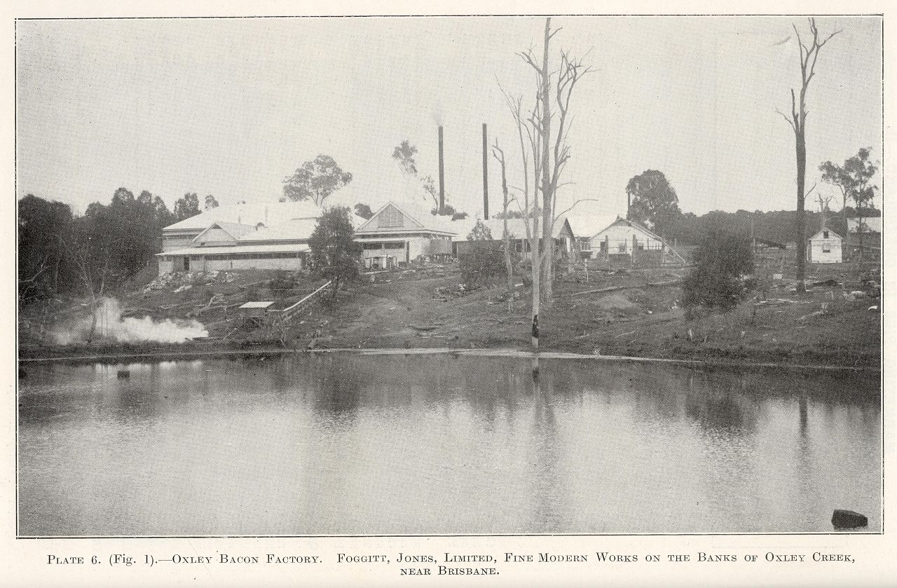
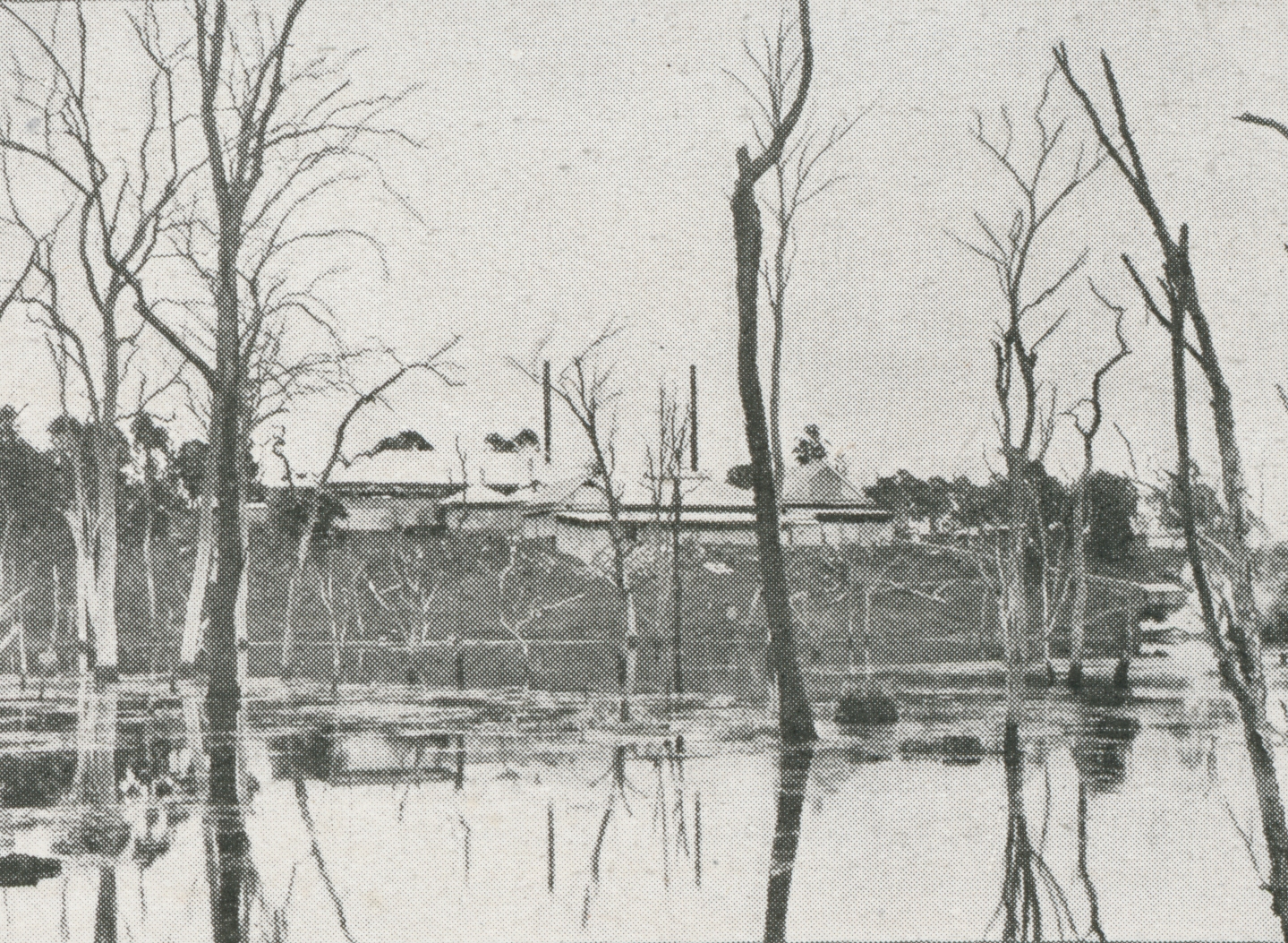
Oxley Bacon Factory, Foggitt Jones Ltd, on the banks of Oxley Creek
Genre:
Headwords:
Year Created:
Contributor:
Publication Title:
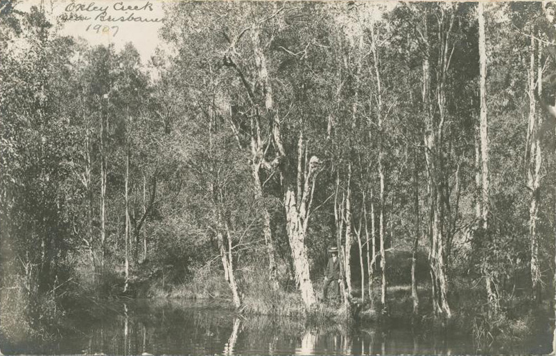
Oxley, a residential suburb, is 11 km south-west of central Brisbane. It lies immediately west of the Oxley and Blunder Creeks, and its northern border is the Brisbane River, opposite Fig Tree Pocket. The suburb is named after the Oxley Creek which was encountered by New South Wales Surveyor-General, John Oxley, in December 1823. Oxley named it Canoe Creek, but two years later Edmund Lockyer charted the Brisbane River and described the tributary as Oxleys Creek.
Lona Grantham, Heritage tour: an historical tour of Oxley, Sherwood, Oxley-Chelmer History Group, 2003
Sherwood District Centenary Celebrations 1867-1967: a record of events and the history and growth of the Sherwood District during the past 100 years, Sherwood, Sherwood District Weekly, 1967
Ralph Fones, Oxley! A mind of its own: a history of a suburb with attitude 1850-1950, Brisbane, Oxley-Chelmer History Group, 2006
Copyright © Centre for the Government of Queensland, 2018. All rights reserved.