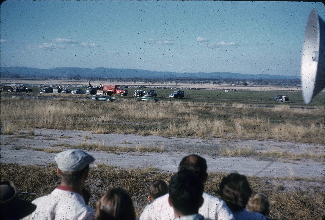
Pine Shire
Genre:
Headwords:
Year Created:
Contributor:
Publication Title:
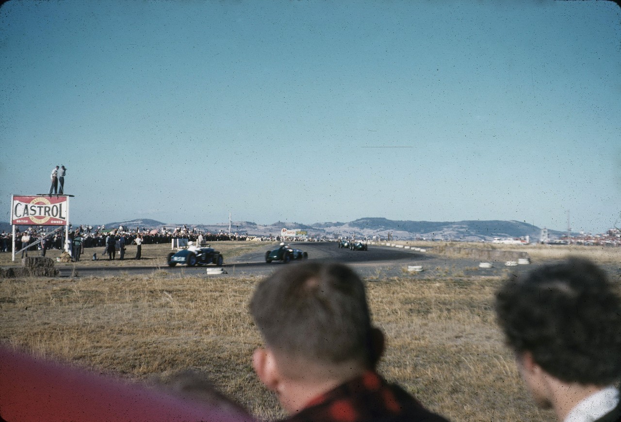
Pine Shire
Genre:
Headwords:
Year Created:
Contributor:
Publication Title:
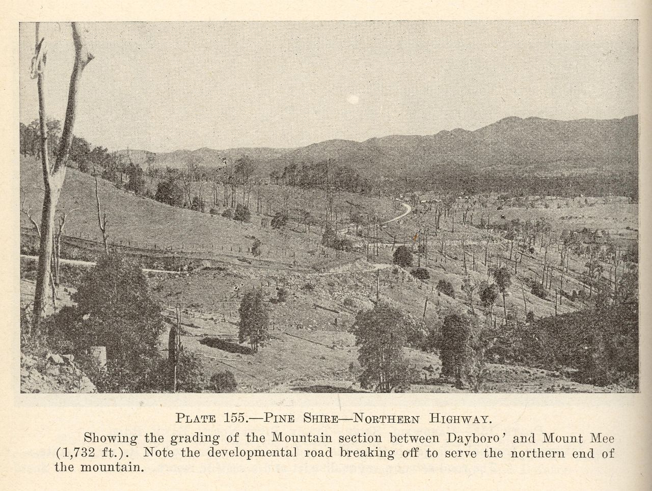
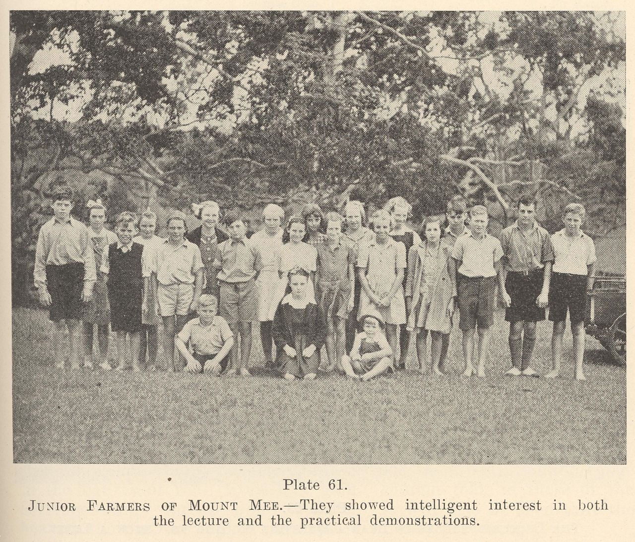
Junior farmers of Mount Mee
Genre:
Headwords:
Year Created:
Contributor:
Publication Title:
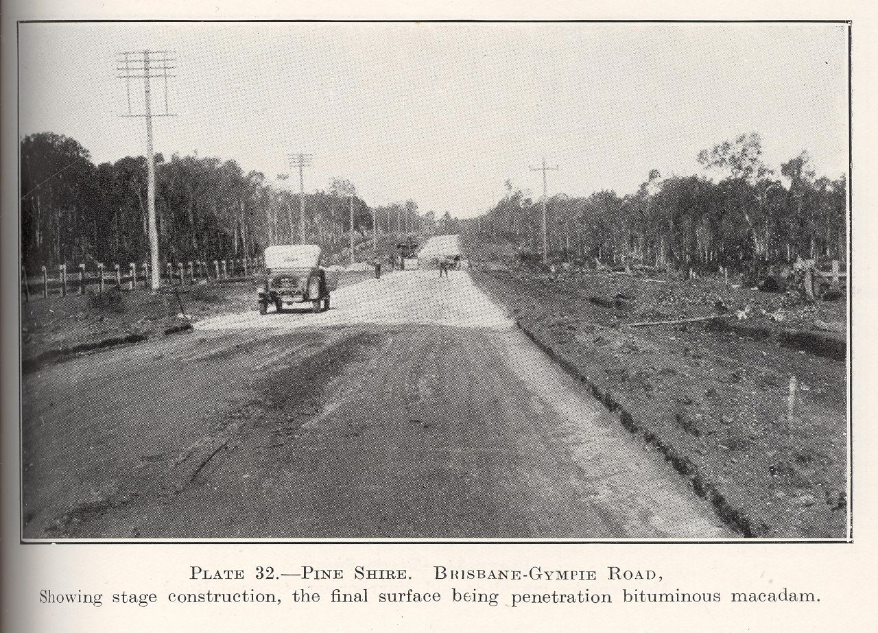
Pine Rivers Shire
Pine Rivers Shire, immediately north-west of the Brisbane city municipality, had an area of 750 sq km. In 2008 it was amalgamated with Caboolture Shire and Redcliffe City to form Moreton Bay Regional Council. It took its name from the North Pine and South Pine Rivers which rise in the D'Aguilar Range, about 35 km inland. North Pine River's watershed is at Mt Samson and South Pine's is at Mt Nebo.
Further Reading:
Robyn Brough et al, Tracks and time: a history of the Pine Rivers District, Strathpine, Pine Rivers Shire Council, 1988
Albany Creek, Arana Hills, Bray Park, Brendale, Bunya, Camp Mountain, Cashmere, Clear Mountain, Dakabin, Dayboro, Eatons Hill, Everton Hills, Ferny Hills, Griffin, Highvale, Joyner, Kallangur, Kurwongbah, Lawnton, Mango Hill, Mount Samson, Murrumba Downs, Petrie, Samford, Samsonvale, Strathpine and Warner entries
Headwords:
Copyright © Centre for the Government of Queensland, 2018. All rights reserved.
