Monto Shire, generally 130 km west of Bundaberg, was formed in 1932 by severance from Eidsvold Shire and small parts of Mundubbera and Perry Shires. It arose from the Queensland Government's Upper Burnett and Callide Land Settlement Scheme of the 1920s, a closer-settlement project based on former pastoral leaseholds. Much of the land consisted of undulating ridges and alluvial flats, with volcanic soils and sandy loams. The 'scrub' included a range of useful timbers. Moving clockwise from the west, there are the Auburn, Dawes and Burnett Ranges, which enclosed the shire on three sides.
Monto Shire had an area of 4322 sq km, and in 2008 was amalgamated with five other shires to form North Burnett Regional Council.
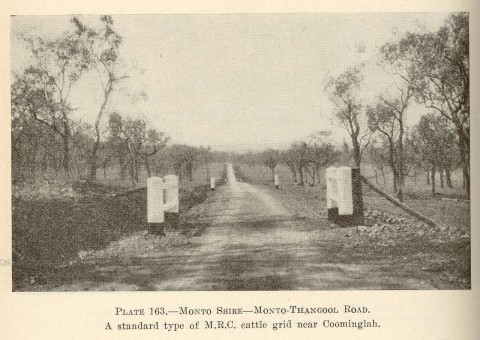
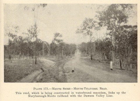
Pastoral occupation of the Monto district began in the late 1840s with the Rawbelle run (west of Monto) and the Dalgangal run. To the north there were gold discoveries at Cania, in the Dawes Range (1870) and copper was mined at Mount Cannindah (1898) near present day Kalpowar. The Cania mining field was worked intermittently, with river dredging in about 1900. Most of the grazing land was under pastoral leases running until 1918 and 1928, which came under the labour government's attention when it announced its commitment to the development of the Upper Burnett for closer-settlement. The scheme called for costly railway works, surmounting the Dawes Range. The Commonwealth Government refused approval for Queensland to raise funds on the London market (despite support by the Commonwealth Superintendent of Immigration), and Premier Theodore instead went to the American market. As well as railways, the government had to fund water bores, irrigation, road-making and the design and formation of townships (Monto and Mulgildie).
The Monto township was designed and lots put up for auction on perpetual leasehold in 1926. Railway extensions reached Monto from Mundubbera in 1928 and from Mary Peaks in 1931. Cotton was initially an important crop, but flooding of the alluvial flats in 1927 caused a downturn in growing. Dairying offered better prospects, particularly when the Port Curtis Dairying Co opened a factory at Monto in 1929. Butter production grew eight-fold during the 1930s, and there were 500 suppliers by 1940. By 1946 the shire's population was near its peak figure of about 4500, and was described as follows in the Australian Blue Book:
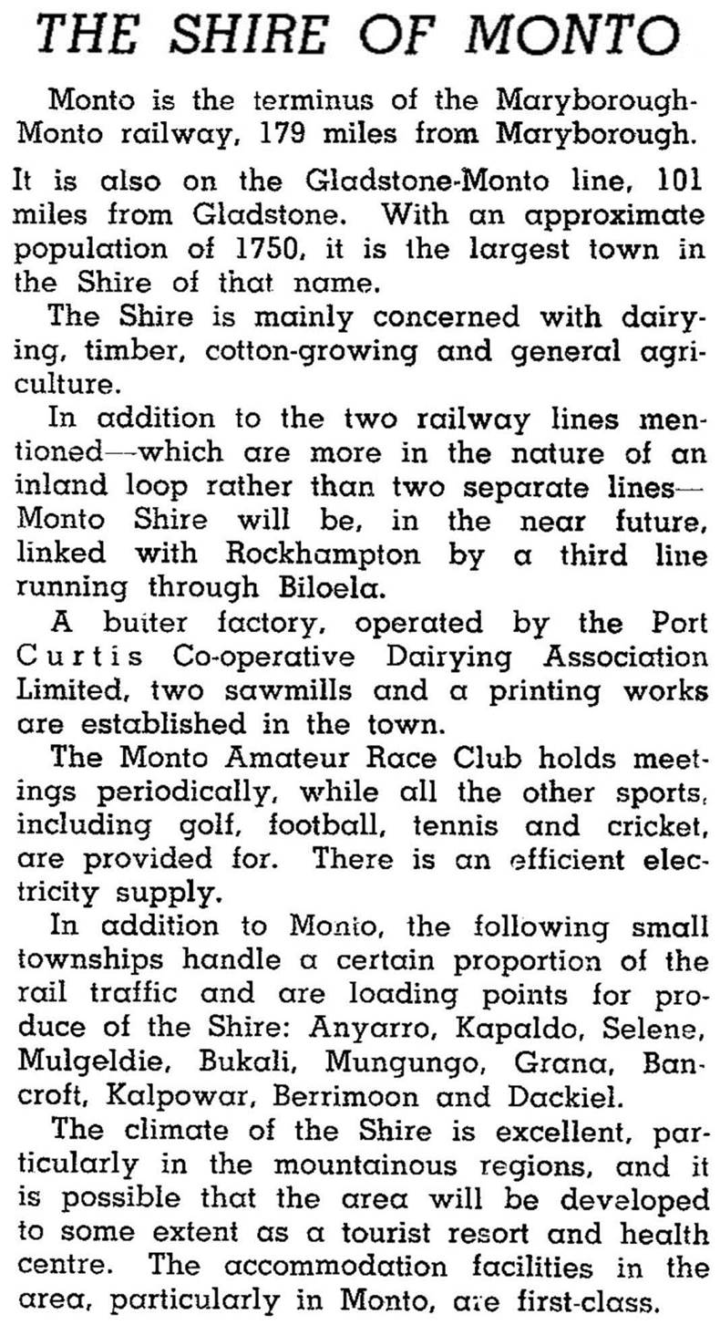
(The Blue Book predicted a third railway line to Rockhampton via Biloela, but it did not eventuate.)
During 1933-39 beef cattle numbers grew absolutely, but fell from 90% to 60% of total cattle; the rest were dairy herds. In 1993 there were 97,000 head of cattle, of which only 6% were dairy. The decline in dairying to some extent mirrored the decrease in small farm holdings and in the shire's overall population.
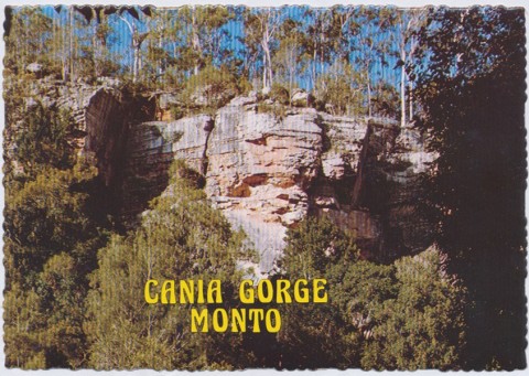
Monto Shire also supported pig raising, cereal growing and some timber production, chiefly from reafforestation at Kalpowar and Coominglah. In the north there was the Cania Gorge National Park (1977) and the Cania Dam (1982). Mount Goondicum, 35 km east of Monto, has feldspar deposits.
The shire's census populations have been:
| Census Date | Population |
|---|---|
| 1933 | 3510 |
| 1954 | 4458 |
| 1971 | 3495 |
| 1991 | 3058 |
| 2001 | 2471 |
| 2006 | 2434 |
W. Ross Johnston, A new province? The closer settlement of Monto, Brisbane, Boolarong Publications for the Monto Shire Council, 1982
G.F. O'Connor, ed, The central and upper Burnett River district of Queensland: centenary souvenir 1848-1948, Brisbane, W. Smith, 1948
G.H. Malcolmson, Monto Shire handbook, Brisbane, Queensland Department of Primary Industries, 1970
Monto and Mulgildie entries