Monto Shire
Genre:
Headwords:
Year Created:
Contributor:
Publication Title:
Monto Shire Line
Genre:
Headwords:
Year Created:
Contributor:
Publication Title:
Monto Shire
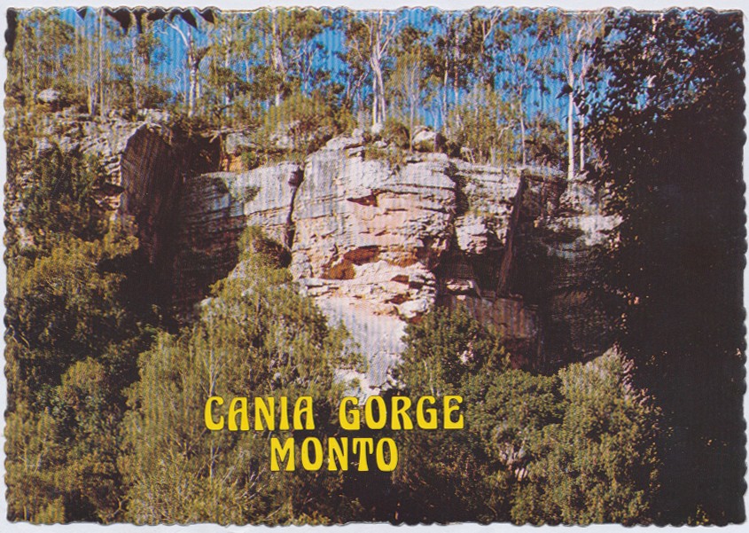
Monto Shire, generally 130 km west of Bundaberg, was formed in 1932 by severance from Eidsvold Shire and small parts of Mundubbera and Perry Shires. It arose from the Queensland Government's Upper Burnett and Callide Land Settlement Scheme of the 1920s, a closer-settlement project based on former pastoral leaseholds. Much of the land consisted of undulating ridges and alluvial flats, with volcanic soils and sandy loams. The 'scrub' included a range of useful timbers. Moving clockwise from the west, there are the Auburn, Dawes and Burnett Ranges, which enclosed the shire on three sides.
Further Reading:
W. Ross Johnston, A new province? The closer settlement of Monto, Brisbane, Boolarong Publications for the Monto Shire Council, 1982
G.F. O'Connor, ed, The central and upper Burnett River district of Queensland: centenary souvenir 1848-1948, Brisbane, W. Smith, 1948
G.H. Malcolmson, Monto Shire handbook, Brisbane, Queensland Department of Primary Industries, 1970
Monto and Mulgildie entries
Headwords:
Copyright © Centre for the Government of Queensland, 2018. All rights reserved.
